
McAfee Knob Hike
Cool Hike on a Cool Virginia Day!
The trip report
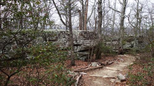
We got a late start off from the trailhead, leaving about 10.25am. Temperatures were cool, in the mid/high 30s, but there was very little wind. And although there were a number of other cars in the parking area by then, we didn't pass anyone else on the hike up. The route up follows the Appalacian Trail all the way to just before McAfee Knob itself, so I was a little surprised that we had the trail to ourselves. Once on the summit, there were a few other groups of hikers, though.
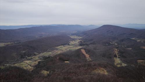
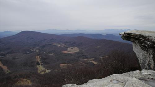
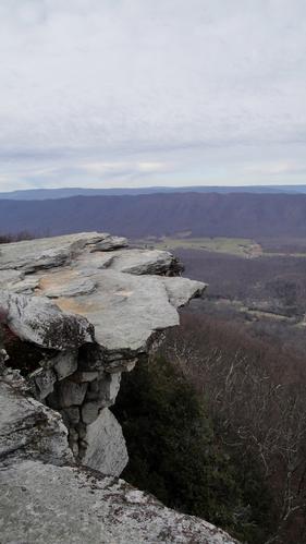
Although the day was overcast and a little hazy, we still had a great view of the Catawba Valley and ridges further West from the Knob. On a clearer day, it would be even more spectacular.
For the return trip, we followed the AT for a ways until it meets up with a fire road. We took the fire road back as it has better views than the AT and, by this point, the trail was getting busy with hikers headed up. Lots of college students and family groups, in fact.
We were back at the car by 1.50pm. All in all, a successful hike!
Event photos (14)
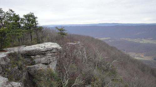
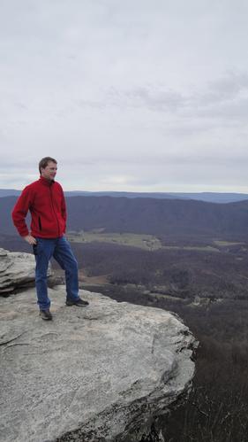
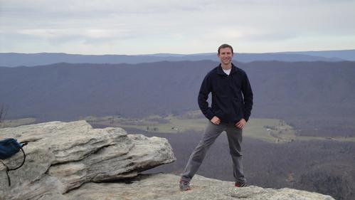
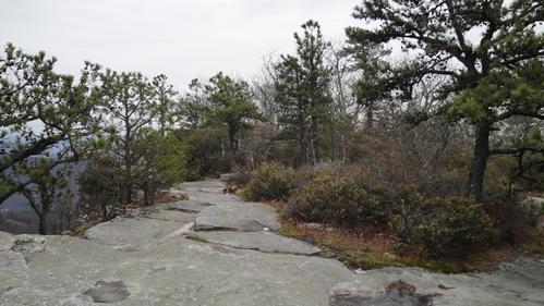
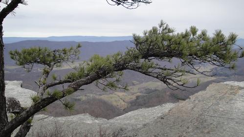
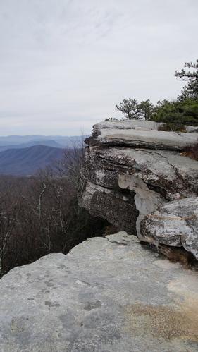
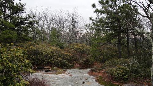
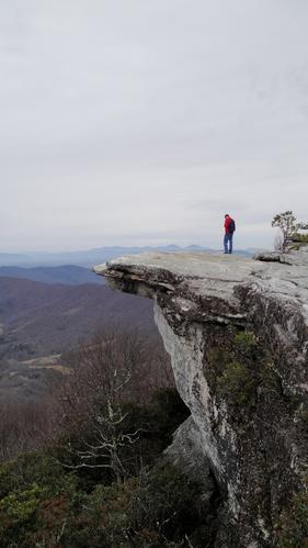

Reactions
Log in to react to this trip report.
About this event
On this hike, we'll head up to McAfee Knob, one of the most photographed spots on the Appalachian Trail (A.T.) in Virginia. At the summit, the Knob has an almost 270 degree panorama of the Catawba Valley and North Mountain to the West, Tinker Cliffs to the North and the Roanoke Valley to the East. The hike is a steady climb of around 1700’ in about 4.4 miles to the Knob from the trailhead and parking area.
From the right side of the A.T., we will cross over Va. Hwy 311 and pick up the white blazed A.T. north. In about 0.3 miles there will be an information kiosk on the left. Continue on the A.T. crossing four wooden walkways prior to reaching the Johns Spring Shelter on the right in 0.8 miles.
There should be another five wooden walkways before reaching the Catawba Mountain Shelter in 1.4 miles. In less than 0.1 miles before the shelter on the left, we will pass a spring with a white pipe protruding from some rocks with a constant stream of water.
Remaining on the A.T., we'll cross an old fire road and continue through a high voltage power line clearing. In 0.3 miles past the power line clearing, we should have our first good overlook on the left looking down to the Catawba Valley. After another 0.5 miles further up the trail to the McAfee Knob Spur Trail, we'll turn left, and in about 30 yards will reach the top of the Knob with great views and McAfee Knob itself protruding out well beyond the rest of the cliffs.
For our return trip, we'll retrace your steps and head south on the A.T. back to the parking lot for a round trip total of 8.8 miles OR we'll take a shortcut back via the old fire road, making it a total hike of about 8.2 miles roundtrip.
Participants should wear boots or other sturdy shoes and bring plenty of water, a lunch, and whatever snacks they prefer on the way.
Who came along (0)
No sign-up roster was recorded for this event.
Comments
Scott
Log in to join the conversation.