
Harney Peak Hike
Great Hike with Great Weather and Great Views!
The trip report
Beginning the hike at about 10am, I was a little worried about the weather as there was a chance of rain after noon. But despite a few clouds, I never saw any raindrops.
The trail itself is fairly easy, especially for the steep terrain in this part of the Black Hills. The steepest part is in the first 1.5 miles (it's a 7 mile RT hike) and then it flattens out somewhat until the last .25 mile. The trail was moderately busy despite it being a Friday, probably due to Fall break. There were a number of [noisy] families on the trail but not enough to spoil the hike. :)
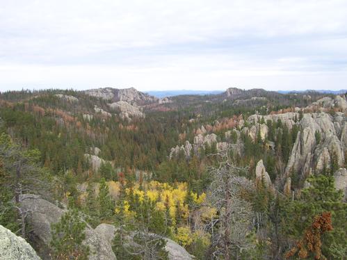
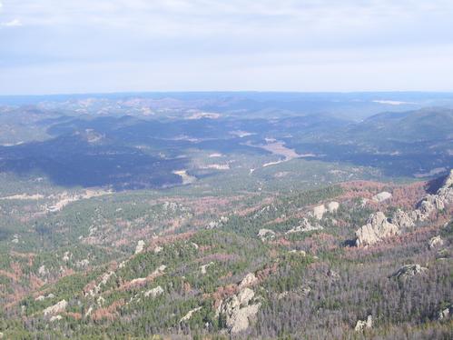
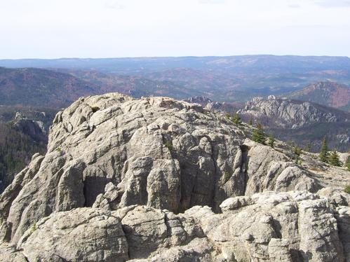
Once up on the summit, one has the finest view in the upper plains: 100+miles in all directions. East over Rapid City to the Badlands, West into Wyoming and the grassland prairie, and North/South of the other Black Hill mountains.
Due to being by myself and needed to drive to Casper after the hike, I sprinted up in about 1.5 hours and got back down in less than that. The views were so great at the top, though, that I spent about 30 mins up there.
Next time you're in western South Dakota, give Harney Peak a try. You won't regret it!
Event photos (6)
Reactions
Log in to react to this trip report.
About this event
Harney Peak, the highest point in South Dakota at 7242 feet, can be accessed from several trails. We're going to take shortest and most popular route beginning at Sylvan Lake. Trail #9, as it is known, begins fairly easily and then slowly gains altitude with small streams of water visible next to - and crossing - the trail. We'll pass through an area recently (09-10) cleared to remove trees that had become infested with the pine beetle.
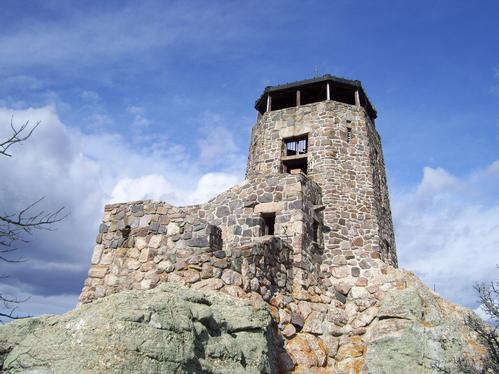
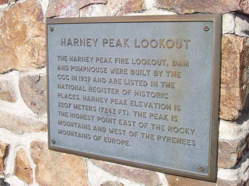
The trail continues upward, into the Black Hills Wilderness Area, becoming more steep in the final 1/2 mile. The trail ends at the summit at an abandoned stone fire tower built by the CCC in the 1930s. From the summit, hikers should have a near 360 degree view of the Black Hills and the high plains to the East.
The entire trail is about six miles total and should take 4-5 hours roundtrip. Be sure to check the weather forecast for Custer, SD and dress accordingly. Participants should bring water, snacks, and perhaps a lunch to eat along the way.
Please note that this hike is on a FRIDAY.
Who came along (0)
No sign-up roster was recorded for this event.
Comments
No comments yet.
Log in to join the conversation.