
Jack Mtn II Hike
Cool Weather, Cool Guys, Cool Hike!
The trip report
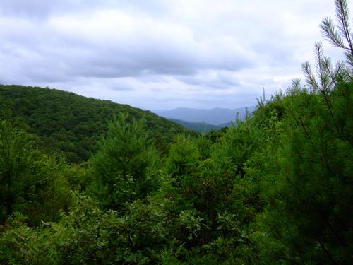
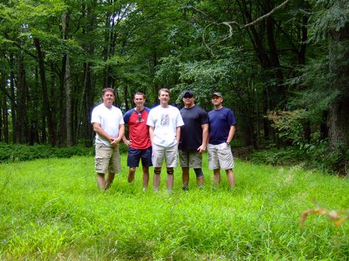
Five us started out promptly at 10.30am for our hike up to Jack Mountain. Although there was a small chance of rain, we didn't encounter any although we had clouds over our heads the whole hike.
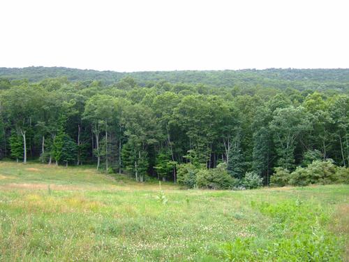
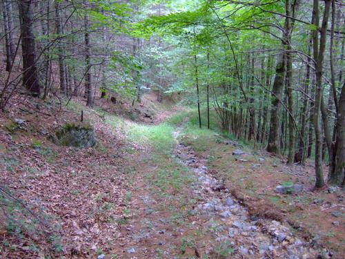
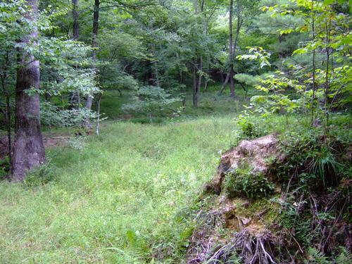
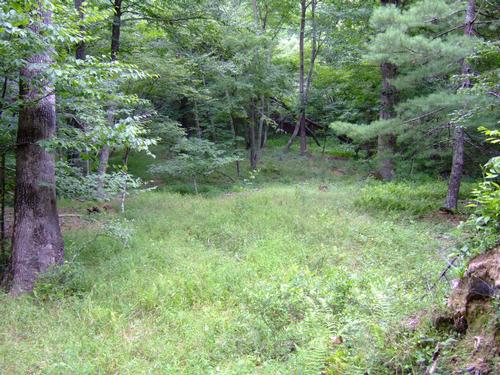
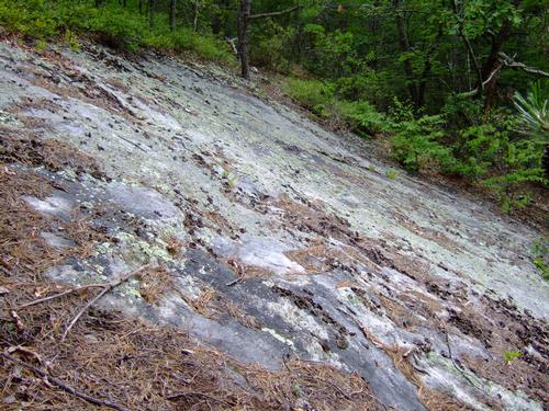
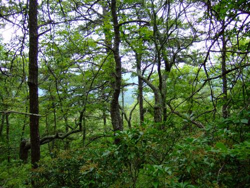
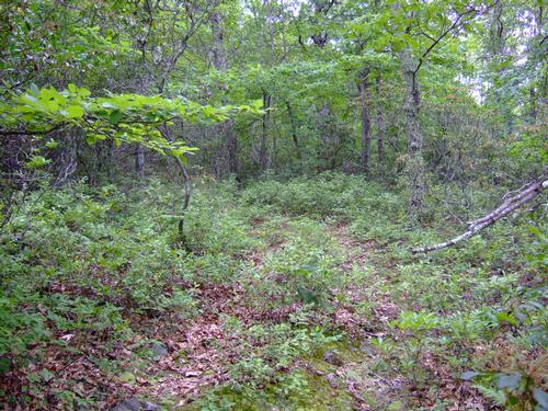
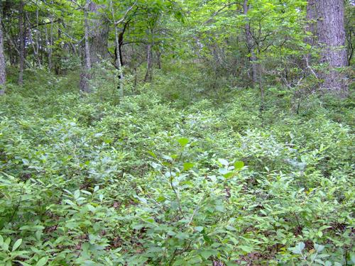
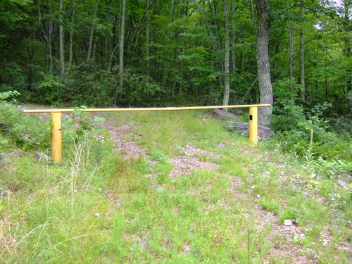
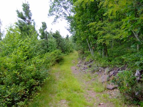
Beginning at the red barn, we headed into the woods and picked up an old logging trail up the side of White Rock Mountain. After ascending the front of the mountain, we arrived near the summit at the actual white rock, a large limestone outcropping visible (in the Winter) from miles away. Crossing over the top of the mountain, we picked up an improved dirt road (built for hunters) in the saddle between White Rock and Jack Mountains. We then followed this road higher, across the face of Jack Mountain to an old CCC road, Jack Mtn Trail, and then took this up to the summit. There we enjoyed lunch in a small picinic area that a local landowner has built.
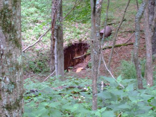
After lunch, we follwed the same roads back off Jack Mountain into the saddle but this time continued past the back of White Rock Mountain into a steep canyon between White Rock and Gum Tree Mountain. As there is no clear path into this area, we blazed our own way down the mountainside into a creek bed. We then walked along this until we found another old logging road and continued along this until we got back to a main road. We then followed this, greeting locals along the way, back to the red barn in Burnsville.
Total hike/lunch time was about six hours.
Event photos (16)
Reactions
Log in to react to this trip report.
About this event
Since our last attempt at doing this hike was rained out, we're going to try it again in July.
From the trailhead off Dry Run Road, we'll meander to the base of White Rock Mountain and begin the climb, steep at times, up WRM. Once near the summit of WRM, we'll continue behind this small peak and join an old logging road, recently improved, up the side of Jack Mountain to the intersection of Jack Mountain Trail, a road built by the CCC in the 1930s. At the summit of Jack Mountain, we'll enjoy lunch at the picnic area and then decide whether to return back the way we came, follow JM Trail back to Dry Run, follow the logging trail to Gum Tree Mtn trail, or continue along Jack Mountain to the Laurel Canyon trail. All trails lead back to Burnsville. Total hike distance is 6-9 miles depending on the route back.
Participants should bring sturdy shoes, plenty of water, a lunch, and whatever snacks you'd like to eat along the way. Check the forecast at www.weather.gov for 24484 or 24487 and plan accordingly.
Comments
No comments yet.
Log in to join the conversation.