
The trip report
Event photos (45)
Reactions
Log in to react to this trip report.
About this event
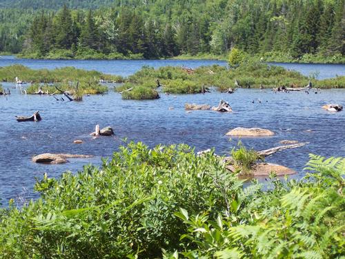
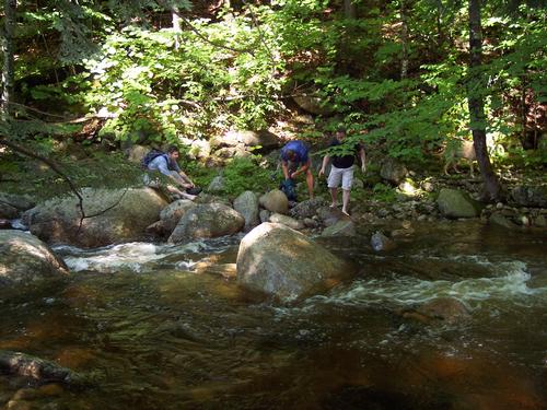
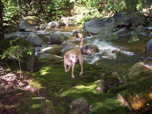
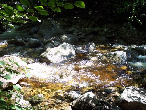
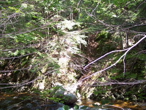
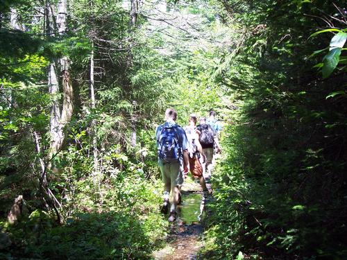
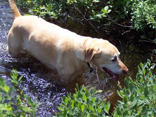
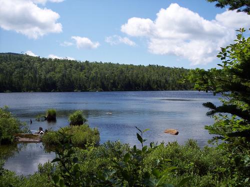
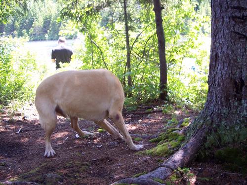
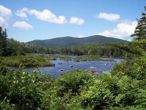
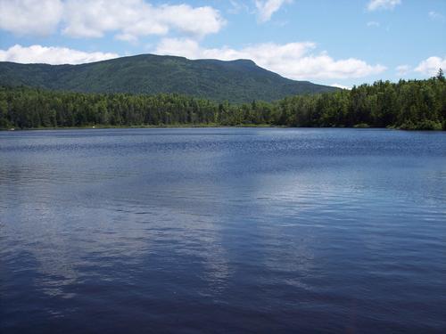
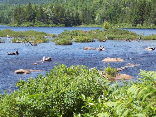
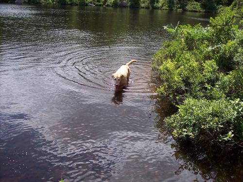
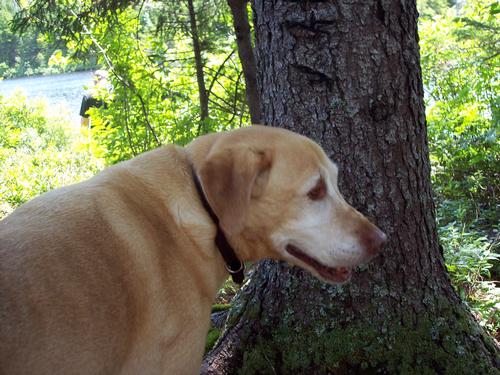
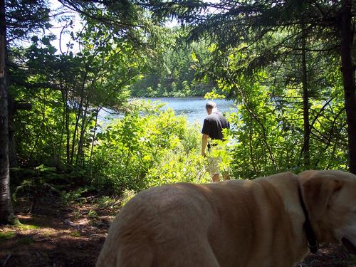
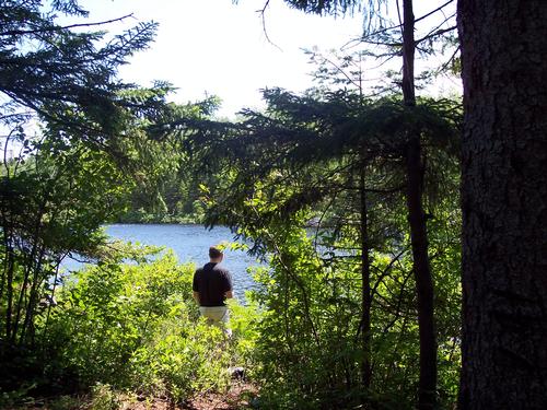
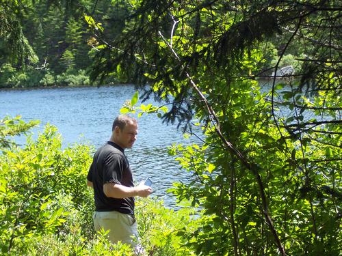
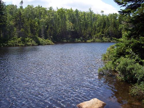
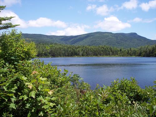
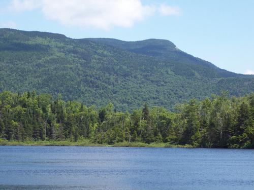
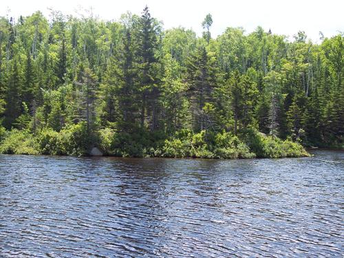
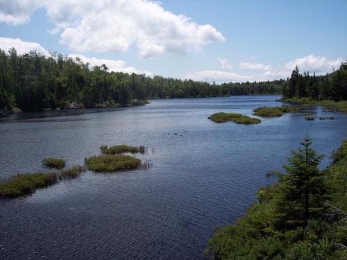
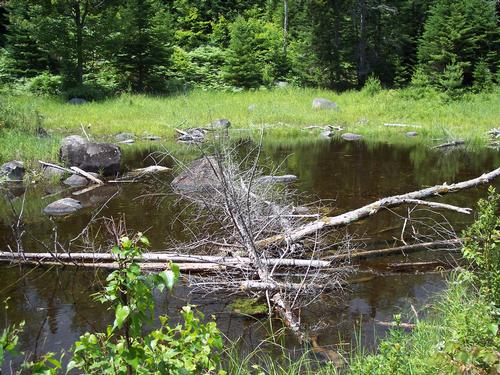
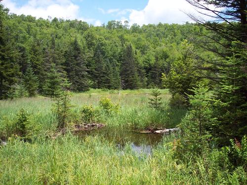
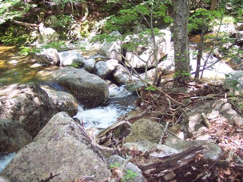
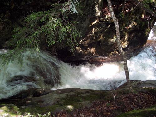
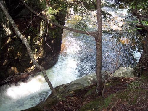
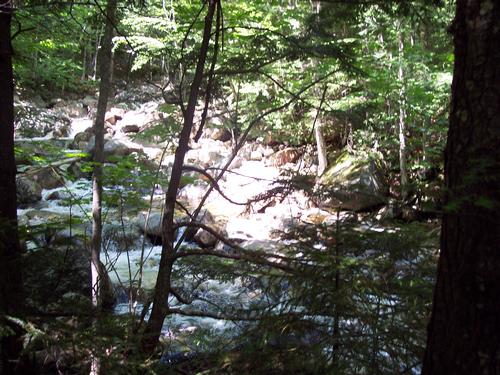
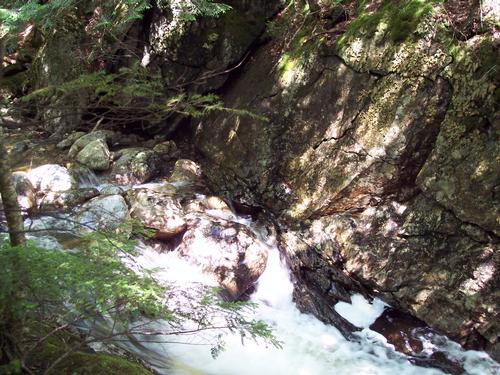
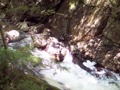
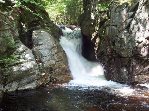
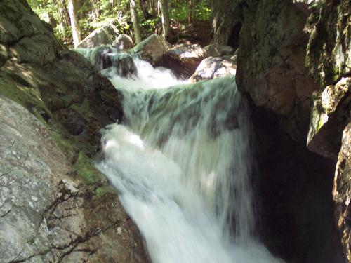
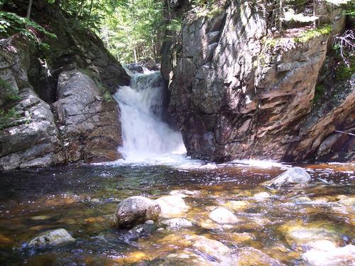
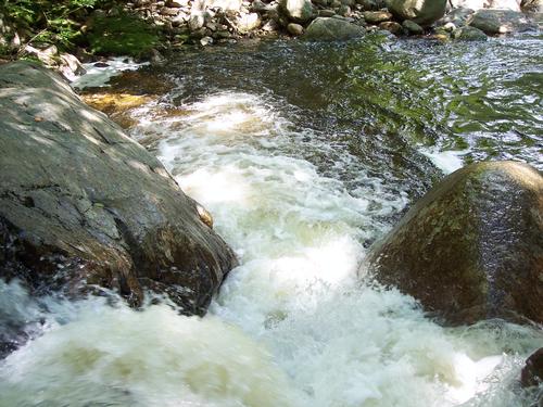
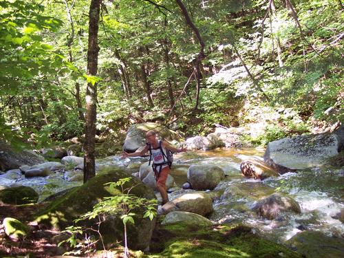
This hike is somewhat unique in that the elevation rate, and total gain, is moderate, but it is a "long" 12.1 mile hike. This is what I call a "water hike" meaning that for almost the entirety we will follow a stream or the banks of Flat Mt. Pond. There will be multiple water crossings, but nothing a good pair of boots can't handle. Also, bring with you some mosquito repellent as we will almost always be near their breeding ground (water). This is a dog-friendly hike.
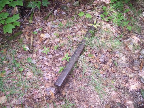
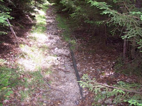
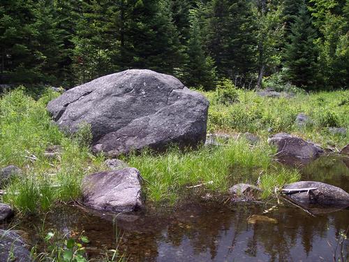
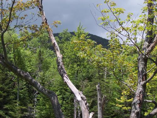
We'll start at the second (far) Park entrance. This part of the trail (Flat Mt.) gains the most elevation. It is actually part of a tree farm, according to the owner's signs, but there is no evidence of activity. We'll be paralleling Whiteface River. About 5 miles into the hike is when we will hit the beautiful Flat Mt. Pond (anyone up for a swim?). On that portion of the trail, we''ll be hugging the coast and there will be a few steep areas. Of all things, we'll be momentarily on a short section of rail bed(?). About 3 miles later, we'll take a left on to the Bennett Street Trail (it's not a street...); this portion descends rapidly. A couple of miles later we'll hit the real Bennett Street, a dirt road with a couple of houses. At the end of Bennett, we'll be on the pavement for .3 miles and head home to our cars.
We'll leave promptly at 9. If you can't make it, then yourself before the hike by 6 AM at the latest.
You'll get my cell phone number in a confirmation email. In case you need directions or can't make it at the last minute, please just call.
I'll be driving a grey Nissan Frontier.
Comments
No comments yet.
Log in to join the conversation.