
Mt. Jefferson/Clay
Thanks to all of those who participated in today's hike, it means a lot to Jon and I.
The trip report
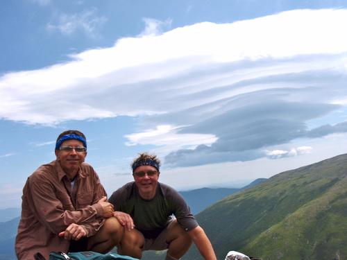
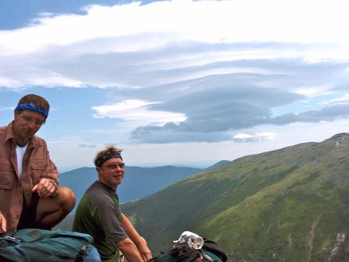
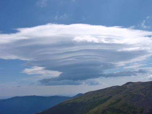
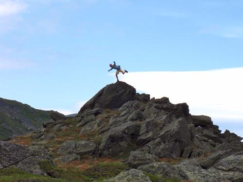
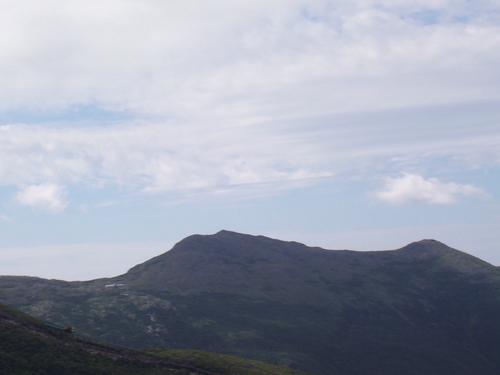
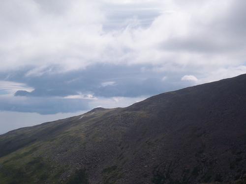
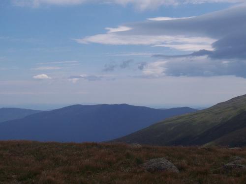
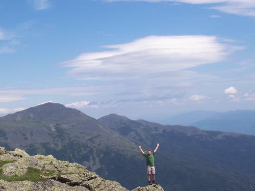
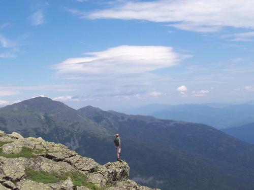
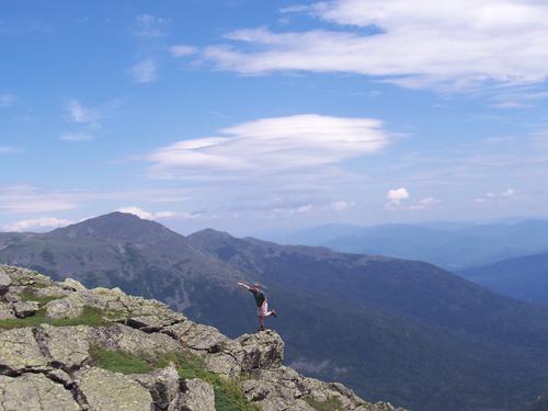
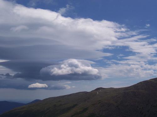
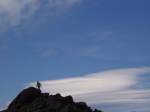
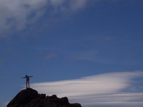
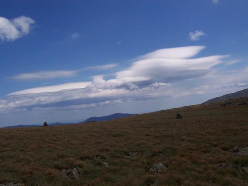
Weather conditions at the beginning were a little dreary but as the day progressed conditions improved tremendously! Not only did clear conditions welcome us above tree line but a sky full of lenticular clouds did as well, which is always a treat.
We went up the Jewell Trail, which is the most direct route and a wonderful trail with good grades and good footing. Of the northern and western routes to Jefferson/Clay, Jewell/Gulfside is probably the easiest way, even though it's significantly longer than Caps Ridge. There are no scrambles, and the grade isn't steep by Presi standards. However - and this is a big however - right now there is no reliable water between the crossing of Clay Brook at 2,900 feet on the Jewel Trail and Greenough Spring on the Gulfside Trail, and none again from the spring to the top of Jefferson, so carry lots and lots of extra. We did, and we used every drop.
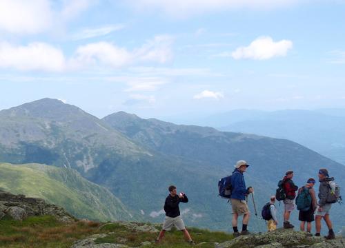
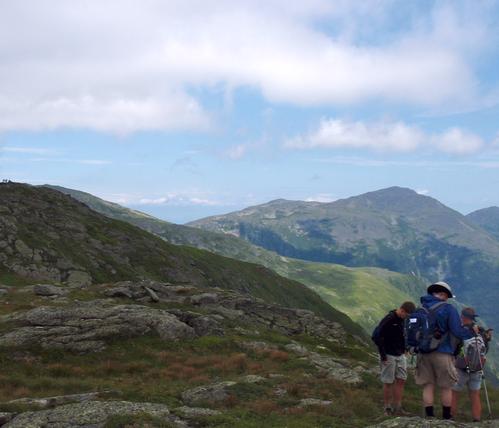
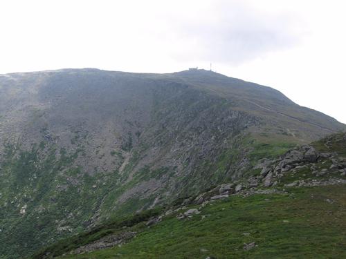
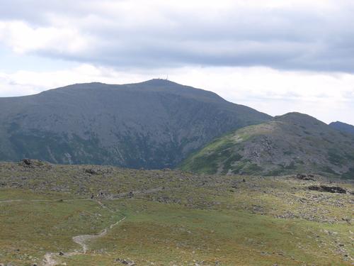
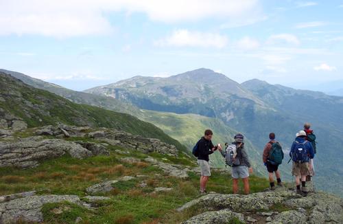
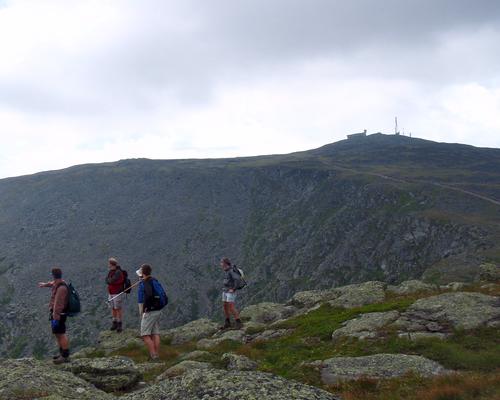
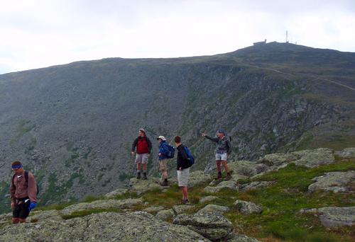
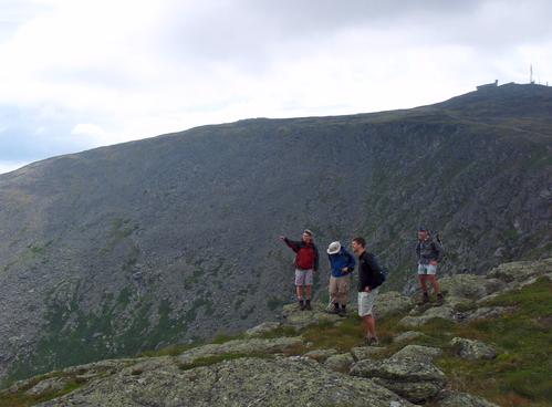
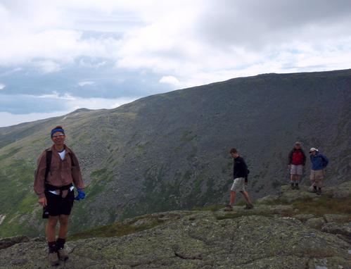
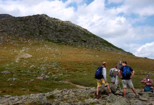
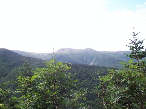
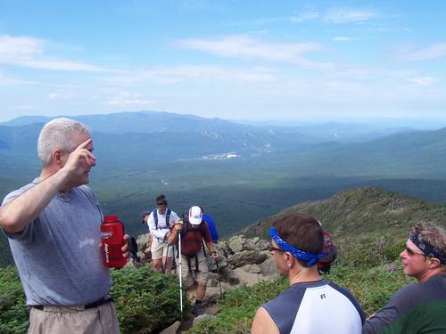
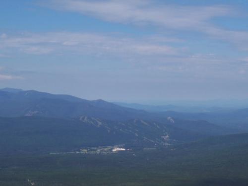
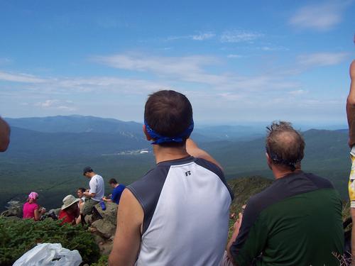
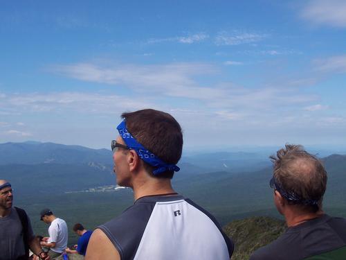
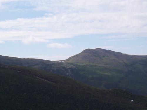
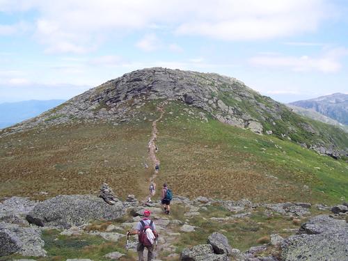
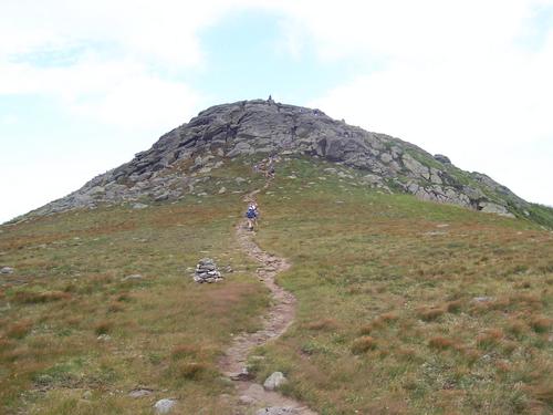
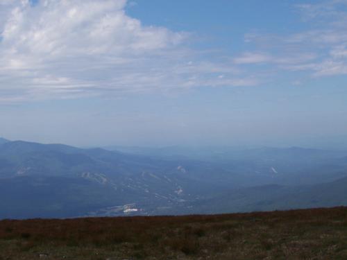
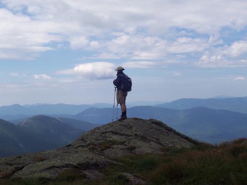
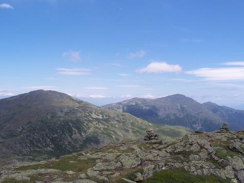
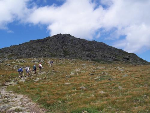
We went up the Jewell Trail, which is the most direct route and a wonderful trail with good grades and good footing. The first views on the trail are from a blowdown at 3,600' (at right toward Mt. Washington), after which the trail becomes distinctly rougher. There are unofficial campsites at 4,200-4,300', just below treeline at 4,400'. Above treeline the views are continuous and fabulous. At 5,300' the Jewell Trail ends at the Gulfside Trail. There was a pretty good breeze which kept us cool.
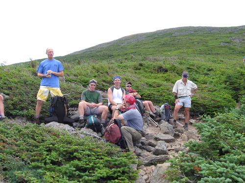
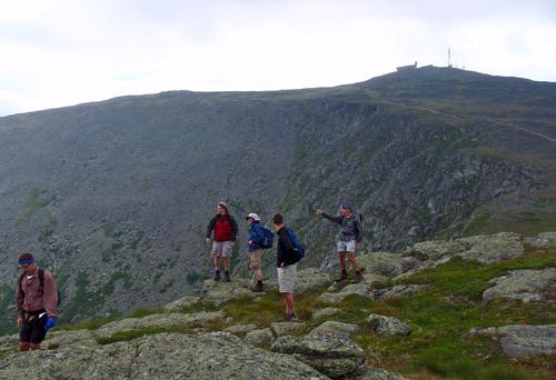
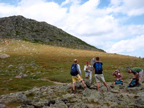
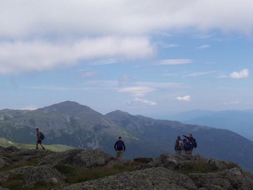
Here we unexpectedly ran into Alex with two other guys who were on a 30-mile, 2-day AT traverse from Route 302 to Pinkham Notch. Nice to have seen you again Alex!. From the junction we scrambled directly up the rocks to Mt. Clay Loop.
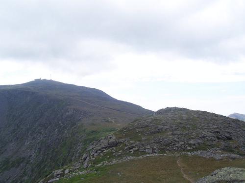
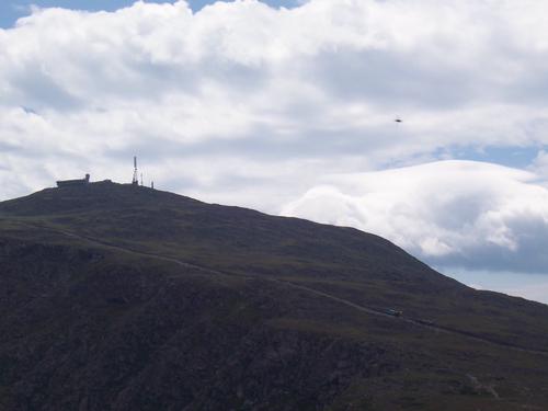
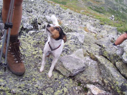
We followed the Mt. Clay Loop to the summit of Mt. Clay where we had lunch. It has superb views into the Great Gulf. As we descended to hook up with the Gulfside Trail we unexpectedly ran into Scott who was doing a Presidential Range Traverse with a friend and Compass [his Jack Terrier]. This hike was turning into meeting up with long lost friends! Nice to have seen you again Scott!
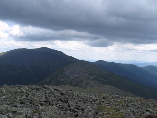
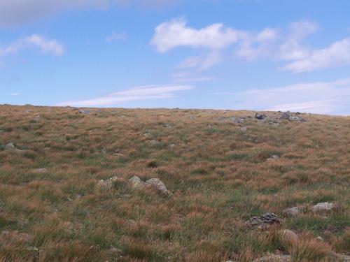
We followed the Gulfside Trail to Mt. Jefferson and the wind was particularly strong at Sphinx Col. At Monticello Lawn, the tops of the grass had turned into an auburn color. With the strong wind, we enjoyed the rippling effect it created on the grass. Truly magical!
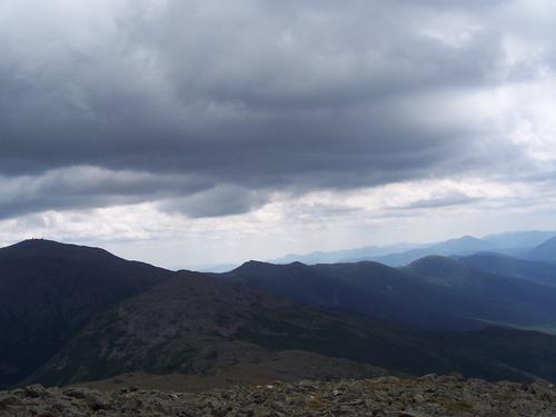
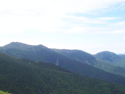
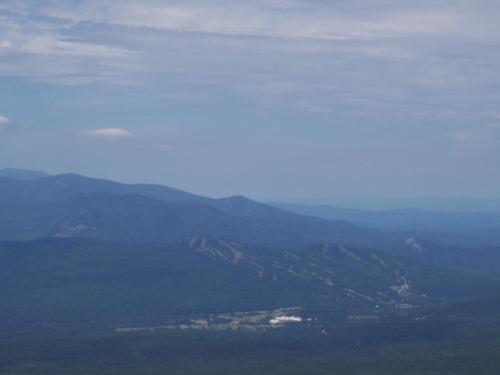
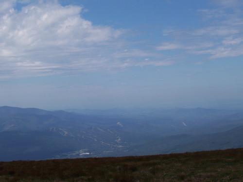
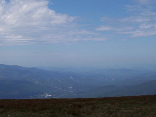
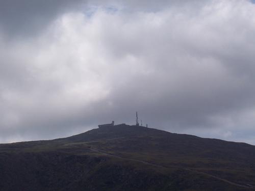
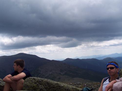
From the top of Mt. Jefferson we enjoyed views of the southern and northern Presidentials. We returned back to our cars using the Gulfside and Jewell trails. The after hike party back at my house included burgers, beer and soaking in the Mad River.
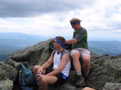
Thanks to all of those who participated in today's hike, it means a lot to Jon and I. We did not bring a camera so please upload the pictures taken.
Event photos (61)

Reactions
Log in to react to this trip report.
About this event
Mt. Jefferson at 5,716 ft is an enjoyable hike if the weather cooperates. I particularly enjoy Monticello Lawn as it slopes away into the Great Gulf and Jefferson Ravine. The views across the Great Gulf Wilderness to the Carter Range are especially beautiful.
Distance: 11.2 round trip
Elevation Gain; 3,216 ft.
Estimated Time: 8-10 hours
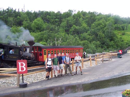
We will meet in front of the Cog Railway Visitor's Center [Marshfield Station] and take the Jewell Trail to the Gulfside Trail, a distance of 3.7 miles. Jewell reaches treeline in about 3 miles and from then on we will be fully exposed to the prevailing westerly winds. Once we reach the Gulfside trail we will first head to Mt. Clay for lunch [much quieter] and then continue towards Jefferson with its numerous false summits before reaching the main summit.
Travel above treeline offers unique challenges to any hiker. Please have the appropriate gear/clothing to travel above treeline [rain shell] and the appropriate amount of layers to keep your core body warm.
Book time is approximately 8-10 hours round trip if the conditions are good. One caveat, visibility has to be good! Hiking in zero or low visibility on the ridge to Jefferson is not wise, especially given that the cairns are not very large. Jewell is realistically our only escape route if the weather changes drastically, so if the conditions worsen to where our visibility becomes an issue, we will cancel the hike and we will head down immediately!!
This hike is contingent upon the weather. Wind speed and visibility are the two main variables that can cancel this hike; besides rain.
After The Hike: We'll have a BBQ back on my deck at my house in Waterville Valley. It's BYOB and about $5 per person for food costs. Bring a change of clothes. I have lots of towels and everyone can take showers to clean up.
Lodging Option: I have 8 bunks available with linen for Friday and/or Saturday night at my house in Waterville Valley for $20. You can use the kitchen facilities and store beverages/food in the fridge. I serve coffee in the morning and a continental breakfast. Contact me to RSVP. SPACE IS LIMITED TO EIGHT GUYS.
Who came along (4)
 SUSTAINING
  SUSTAINING
  GUEST MEMBER
Comments
Log in to join the conversation.