
Hike & Pack Lunch - Whitewater Preserve
The Whitewater Preserve Hike & Pack Lunch at 3,400 Feet - January 2011
The trip report
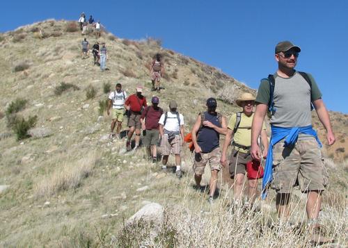
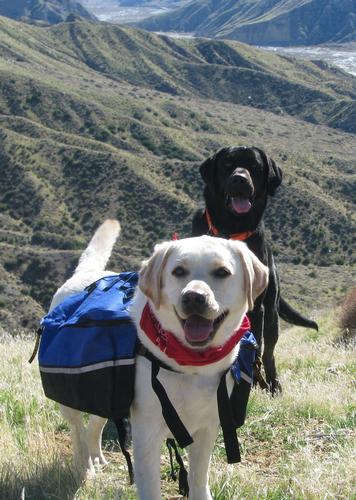
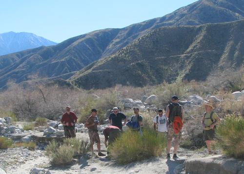
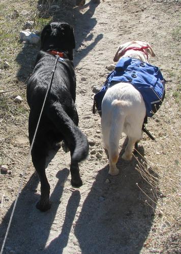
Greeted at the Ranger Station by a stiff cold breeze, I don't believe that parking lot had ever seen such a plethora (20+) of good-looking, eager gay men (and their two mascot labs Sam & Rogue) - ready to take on the Pacific Coast Trail (or at least a few miles of it!).
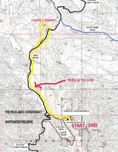
After a very brief introduction, our mascots lead the way down to the Whitewater River via sandy trail - to cross make-shift wooden bridges, stepping stone paths, and on through the reeds up to meet the actual PCT. Of course no dog-friendly hike is complete without passing the obligatory angry/awnry other dog-owners who cannot control their dogs, or mouths, on leash, or off!
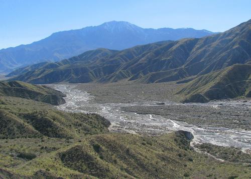
We all hiked at a great pace for the first hour up to Red Dome (the clay mound) skirting the valley floor along the edges, meandering further North. All of us then crossed the sand-crested hills and knolls, and washed-banks of different former river flows to actually approach the swiftly flowing Whitewater River. Most of us continued on from there, to bravely forge our way across a very tumultuous river on two bouncy, side-by-side logs, where not one drop of water was shed upon any of those hiking boots to get to the other side! Brave souls indeed.
Upon reaching the other side of the valley floor, we began ascending the switchbacks that lead NE in the direction of the West Fork Trail. We trudged through a neat gathering of prickly pear cactus, and also literally ran across a quite-dead tarantula that must have committed himself to a higher power (or lost his balance, poor thing). After 40 minutes of climbing, we left the comfort of a cut-trail to freeball it to the summit of a 3,400 foot peak only reachable through very steep steps on grassy patches, along some impressive unstable cliffs (OK a bit exagerated). But heart rates did increase, as did breathing, puffs, and groans with each step.
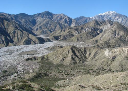
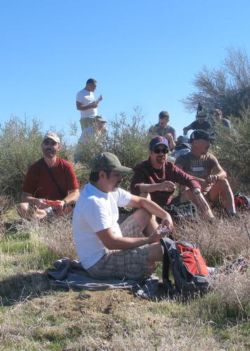
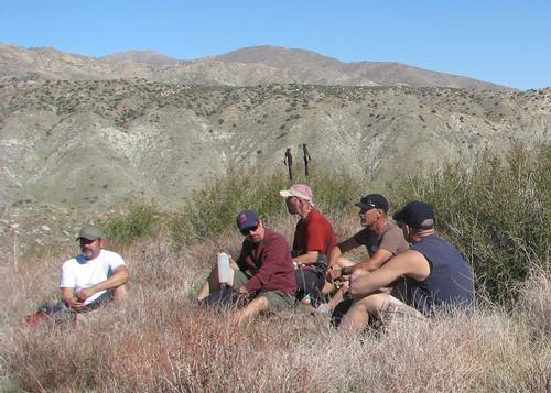
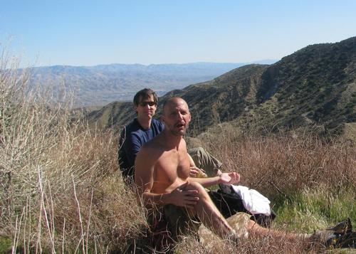
The views from the top are quite sensational, where we all hunkered down in the sun, with a very slight warm breeze. To the West is what I believe to be the tallest mountain in SoCal Mt. San Gorgonio (snow capped) in the San Bernardino Mountains. To the South is Palm Springs/Idyllwilds' jewel - Mt. San Jacinto in the Santa Rosa's. And to the East one could see the side view of Joshua Tree National Park.
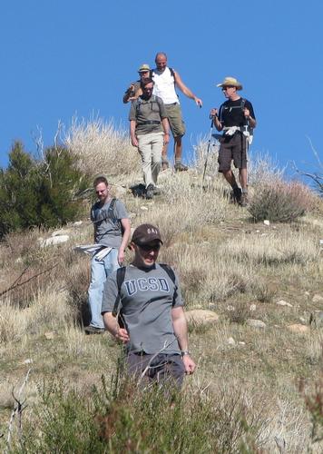
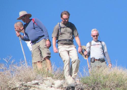
Our descent from the summit was to the SouthWest via the ridgeline, meandering our way down like the Von Trapps of Austria above Salzburg in the Sound of Music (but I believe their definition of FAMILY was a bit more conservative than ours!). Of course one of us decided to precariously take a short cut down a small rock face, as opposed to around it, but no was harm done to the rocks.
At the valley floor, we again hike out to the River, where upon re-crossing it (grins, exclamations, fear - yet serious success again) a couple of us took a dip in the chilly waters, where getting carried off by the current appeared to have been unforeseen.
Returning to the Ranger station approximately 5 hours later - with most of our faculties, a little less energy, many grins, a fewer hikers than whom we started with (I knew we shoulda tied us all up together!) - we exchanged contact information and hugs, vowing to explore more of the Coachella Valley in the future - and some of us even tried hunting down the elusive BEST DATE MILK SHAKES in the north part of the coachella valley - to no avail (closed Sundays).
Thanks to absolutely every hiker who came, to make my first lead hike, a walk in the park! Great men. Great day. Great preserve (Thank you Wildlands Conservancy donors!)
HIKE ON!
Don
Complete set of Don's photos can be viewed thru link to Picasa Site of PalmSpringsHikers.
Thank Guys!
Event photos (12)
Reactions
Log in to react to this trip report.
About this event
Gay Men's Moderate Hike up the Pacific Crest Trail from the Ranger Lodge - close to the intersection of the PCT and the West Fork Trail is a SUMMIT that has a beautiful overlook down the vallye. Couple hour hike in with switchbacks last 20 minutes - and then a little off-trail hiking down the other side for a change of pace.
This is a MODERATE hike for experienced hikers.
Pack lots of water, bring a pack lunch, layers to stay warm at summit for lunch (check out weather for yourself plugging in Bonnie Bell or Whitewater, CA for that day, in advance).
Comments
No comments yet.
Log in to join the conversation.