
The trip report
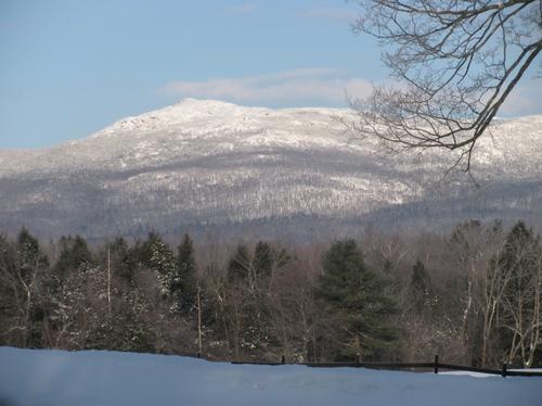
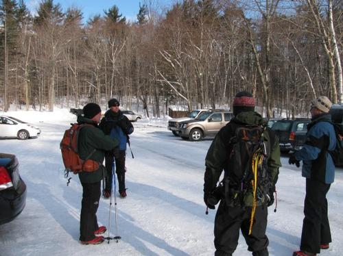
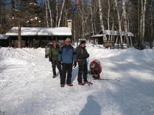
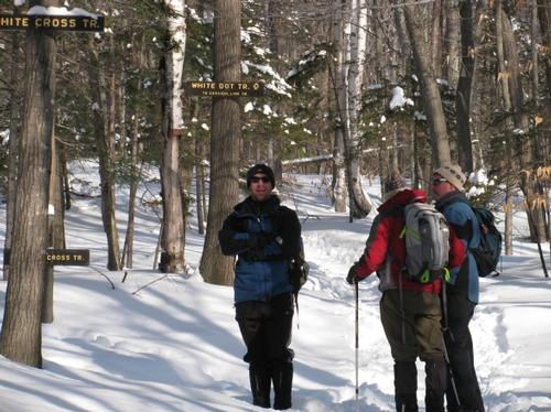
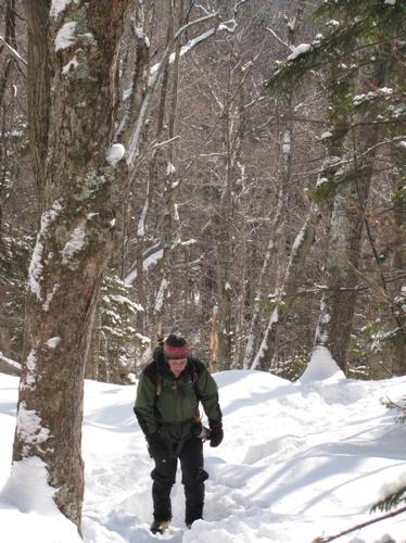
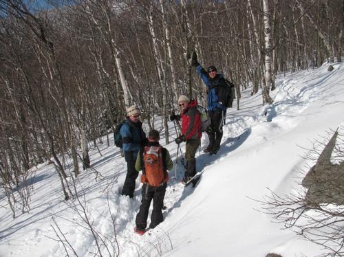
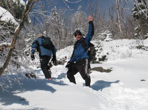
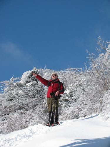
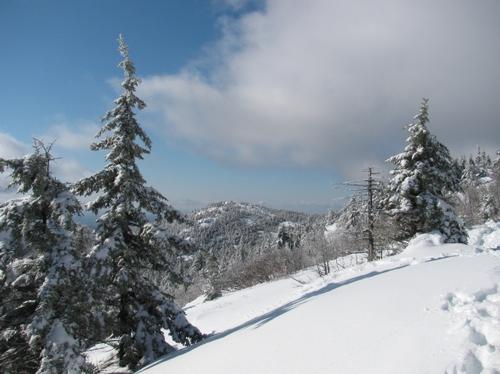
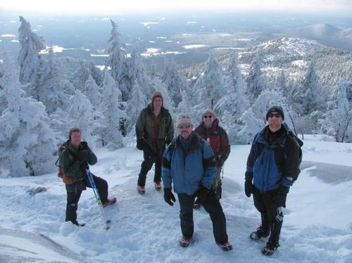
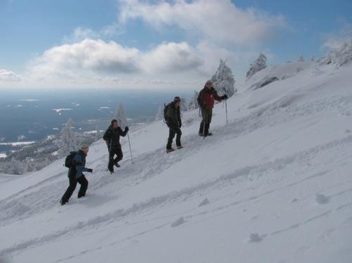
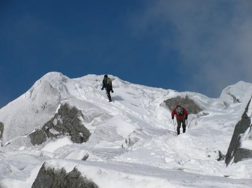
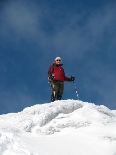
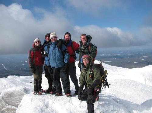
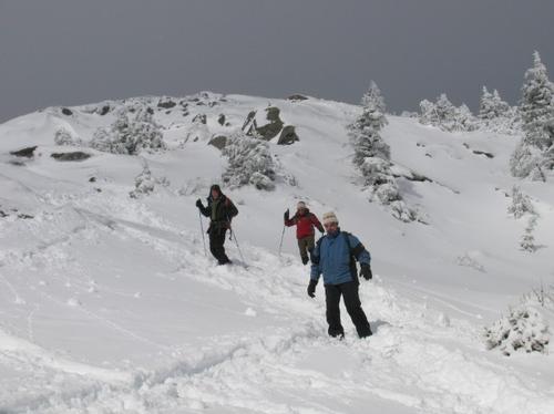
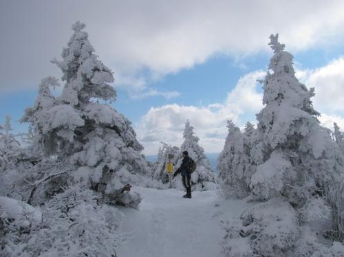
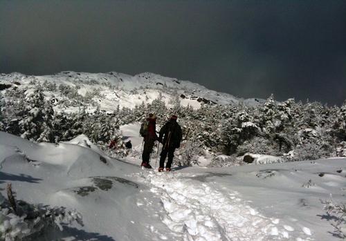
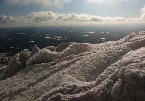
There were 6 of us on this late January hike. We climbed via the White Cross trail which was well broken, and the most direct route. We spent just enough time at the windy/frigid summit to take a group picture before our descent. The way down brought us along the White Dot/Old Ski Path/Red Spot/Cascade link trails which were not fully broken in, but navigable with our traction.
We finished the event at a local pizza shop in Jaffrey. Thanks to Steve for his ecperience in the area, and I would also like to welcome Kevin to GO!
Event photos (18)
Reactions
Log in to react to this trip report.
About this event
This hike will bring us from the base visitors center to the summit (3165 feet above sea level). We will ascend via the White Dot trail (1.9 Miles) and descend via the White Cross trail (2.1 miles). This will be roughly a 3 hour hike with a rest at the summit. Please prepare to dress very warmly as the summit is exposed above the timberline and can be very cold and windy (no cotton). Please also bring microspikes for traction as this trail is going to be well broken with packed snow/ice (unless there is a large snowfall right before the hike). If you do have crampons, they may come in handy in some sections, but are NOT REQUIRED. This hike has excellent views in all directions on a clear day.
There is a $4 fee per person for the state park entry.
if there is anyone in Boston without a car, I can try to make a ride available from the Red Line Alewife T, you may e-mail me for questions/info.
Who came along (2)
 GUEST MEMBER
Comments
No comments yet.
Log in to join the conversation.