
GetWinter Hike #4: Mt. Kearsage South
If the remaining "winter" hikes are as enjoyable as this hike to Mount Kearsarge it's fine with us!
The trip report
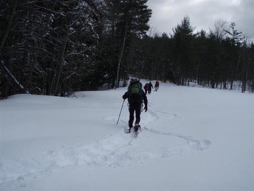
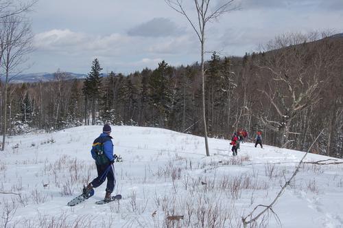
Once Friday's storm cleared we were set for a hike with over 8 inches of new snow. We were interested in a full day of hiking and used the Lincoln Trail from the Kearsarge Valley Road to the summit and back. The route works out to 9.2 miles and 2,100 feet elevation gain. We expected the hike to take approximately 7 hr. 30 minutes.
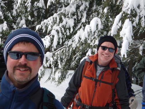
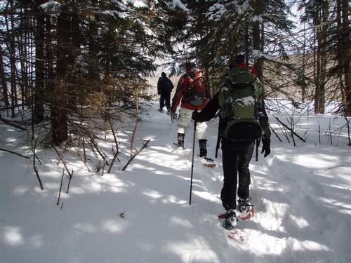
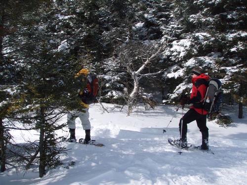
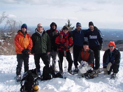
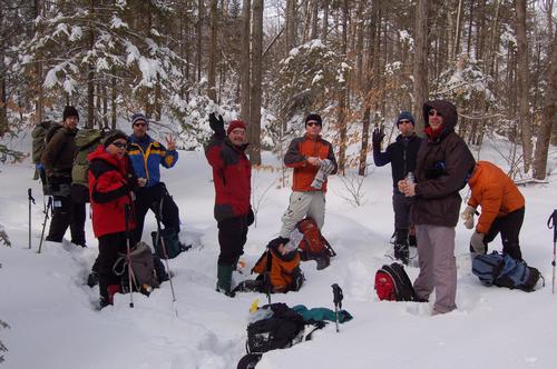
Ten of us hiked together on this day. I drove up with Jon where we met everyone else. Dan was a bit late but caught up to us. This was the first time I hiked with Dan. Thanks to everyone for the terrific trailbreaking work.
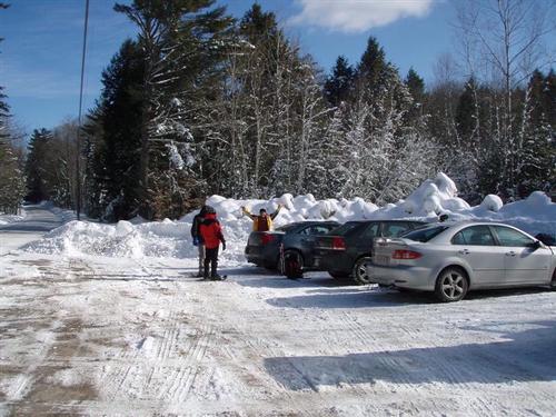
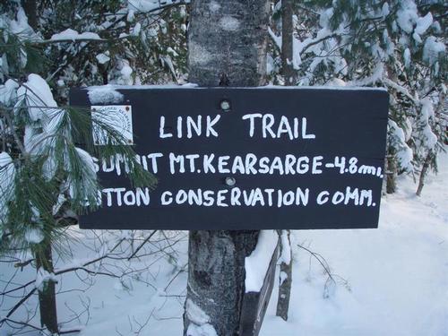
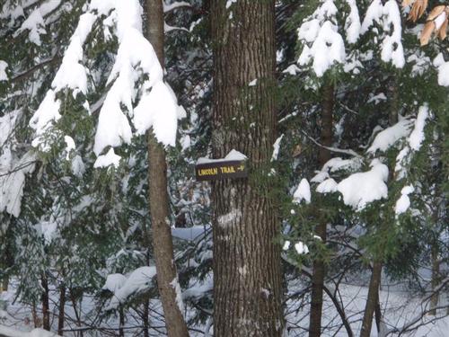
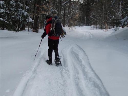
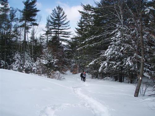
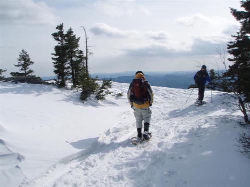
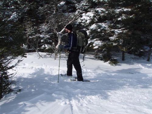
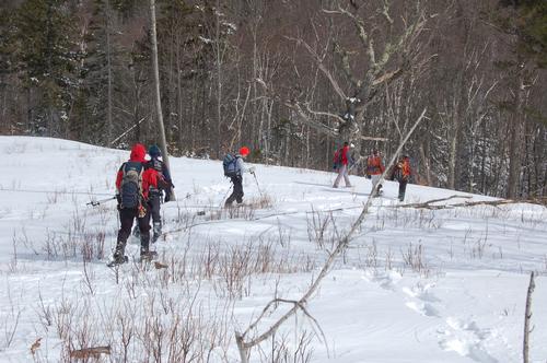
Our start for the day was the trailhead parking lot for the Lincoln Trail on Kearsarge Valley Road, .4 miles north of North Road in Sutton. There was no recent traffic on the trail. With 8 inches of new snow, we started the day on snowshoes, and stayed with them for the full hike. Even though there was no obvious prior traffic, the trail was easy to follow for the most part. The start of the hike on the Link Trail passed through an area of softwood. Soon, we broke out to the Lincoln Trail that snowmobilers use that we followed for approximately one mile.
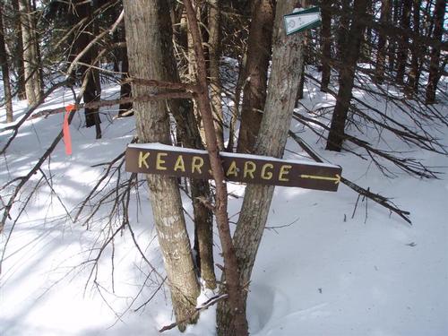
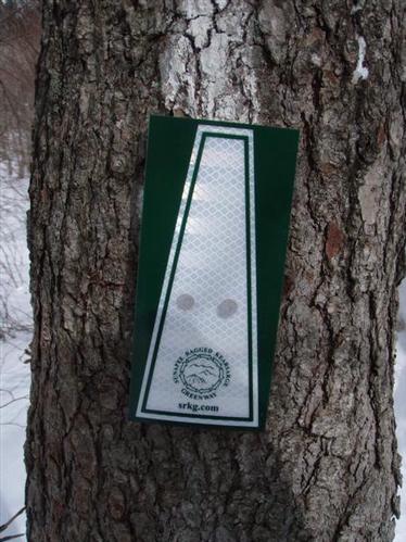
The area where you leave the snowmobile track to continue on the logging road was not very clear. However, the trail marking exiting the logging was very clear, not at all easy to miss. During the trek, we came upon several sets of moose tracks [lots of postholes] that seemed fresh. At one point a moose had laid next to the trail and there was a great deal of scat and hair.
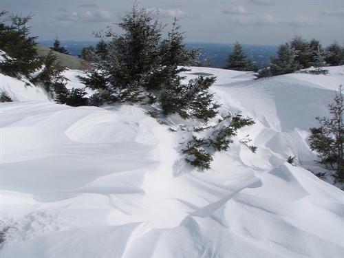
A short distance after leaving the logging road we came to an area [after Baker's Ledge spur trail] to an area that was relatively open. We were planning to take a break here but it was so windy and cold that we decided to get back into the trees. It was here that we lost the trail on the descent but after a bit of bushwhacking we found it again.
On the way to Rollins State Park picnic area the trail generally passes across the northwest slope of Black Mountain with a constant and mild elevation gain. There is a little up and down. It is only the final quarter mile where the grade becomes significantly steeper.
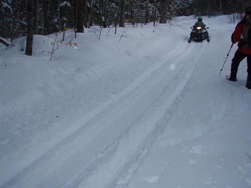
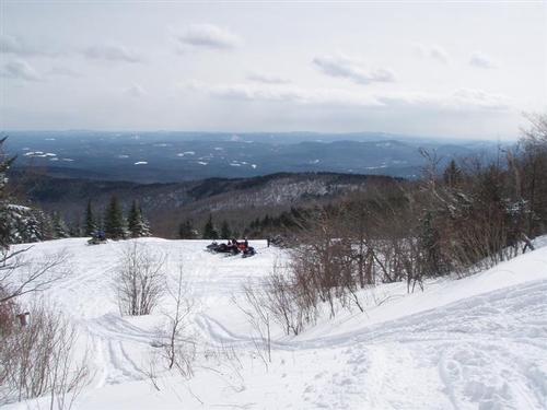
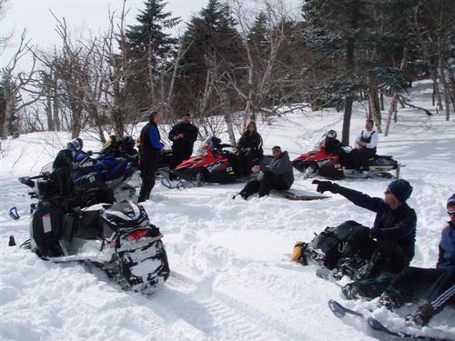
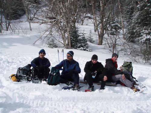
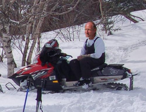
We arrived at the picnic area and decided to enjoy a quick lunch. There were over a dozen snowmobile operators who appeared schocked to see people coming out of nowhere with snowshoes. Some had driven their sleds to the summit and back.
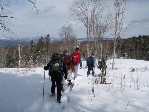
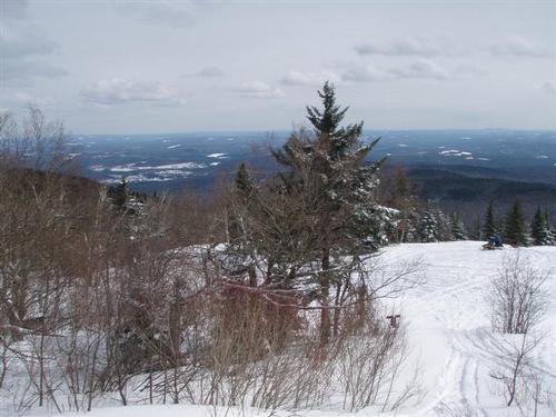
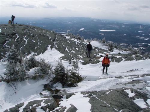
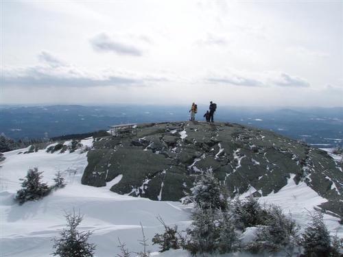
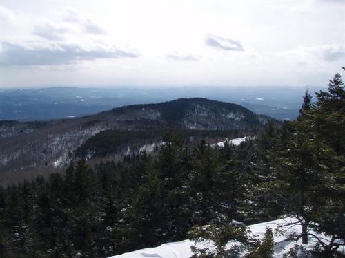
Our lunch break only lasted 20 to 30 minutes and we were off to the summit. We followed the Rollins Trail which is also used by the snowmobile operators. We had to step aside a few times on the trail to let them pass but overall they showed respect for us. We reached the summit but it was very windy and cold so we didn't linger for very long. We could see north to Franconia Notch, east to Mt. Chocorua, south to Mount Wachusett in Massachusetts, and west to Stratton Mountain in Vermont.
Then we headed down the Rollins Trail back to the picnic area. We arrived at the picnic area and headed back on the Lincoln Trail. We did not see any other hikers except when we got near the trailhead. He appeared to be going in for a short jaunt.
We stepped back into the trailhead parking area 7.5 hours after our start, and after having a good workout with snowshoes. Winter has been great this year although we are not happy with the upcoming rain in the forecast. If the remaining "winter" hikes are as enjoyable as this hike to Mount Kearsarge it's fine with me.
Event photos (35)
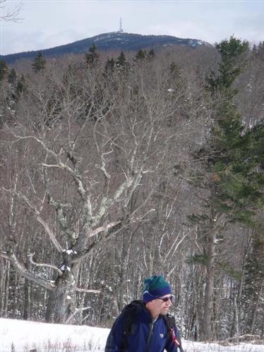
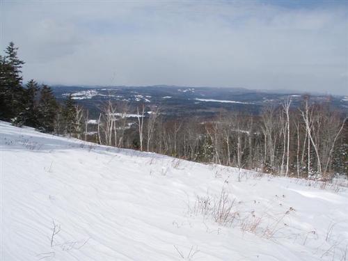
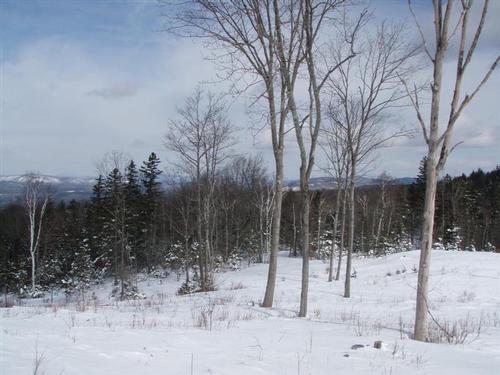
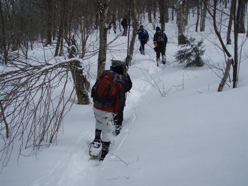

Reactions
Log in to react to this trip report.
About this event
Join our GetWinter Hikes designed to get you into winter hiking. This is a series of progressively harder winter hikes leading up to a small 4,000 footer.
This trip's focus is to get you familiar with breaking trail with snowshoes. This trail is hardly used in winter so everyone will certainly get a good workout as we take turns breaking trail. This is a hike up to Mount Kearsarge [2,930'] with outstanding 360-degree views from its bare summit. On a clear day, skyscrapers from Boston 80 miles away are visible from the firetower on the summit.
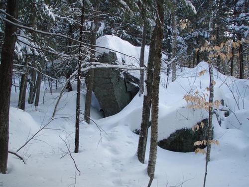
We will be hiking Mt. Kearsarge [2,937 feet] via the Lincoln Trail and Rollins Trail to the summit of Mt. Kearsarge. The total distance covered is 9.6 miles, it should take approximately 6.5 hours and the elevation gain is 2,100 feet. From the parking area we follow the meandering Link Trail around neat looking boulders to hook up with the Lincoln Trail [part of the Sunapee-Ragged-Kearsarge Greenway Trail]. Once we reach the Rollins State Park upper lot we'll climb to the summit using the Rollins Trail. The summit is large, open and rocky ~ and greatly exposed to the elements.
Due to uncertain weather, you should be prepared with layers of warm clothing and winter gear. No cotton clothing. Make sure to bring snowshoes [we have some to borrow so let us know].
For this trip, we'll be having lunch on the summit. Please know your ability before signing up. Winter hiking is more demanding than three-season hiking. Please read the disclaimer above.
Jon and I are planning to drive home for dinner after the hike but the group can make its own plans.
Event Coordinators: Mike Boisvert and Jon Normand
Who came along (6)
 SUSTAINING
  SUSTAINING
  GUEST MEMBER
  SUSTAINING
  SUSTAINING
Comments
No comments yet.
Log in to join the conversation.