
Mt Jefferson Hike
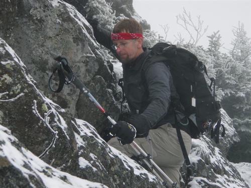
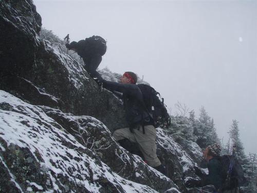
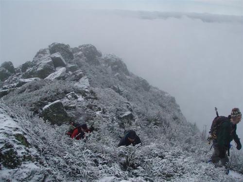
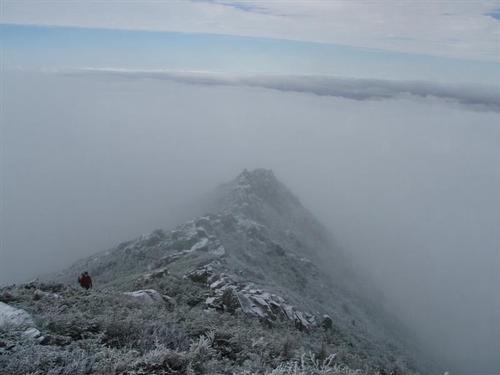
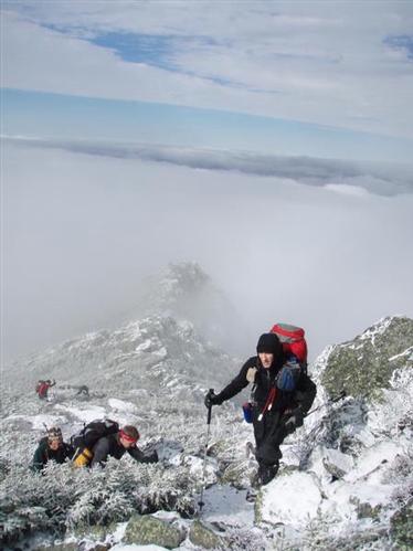
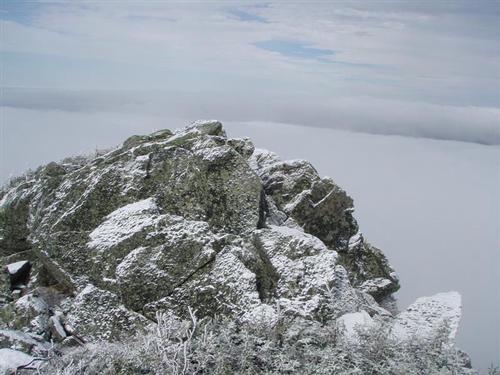
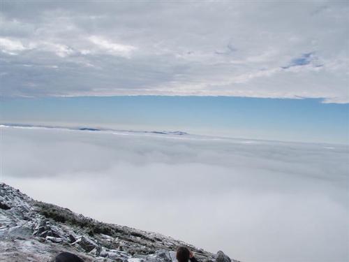
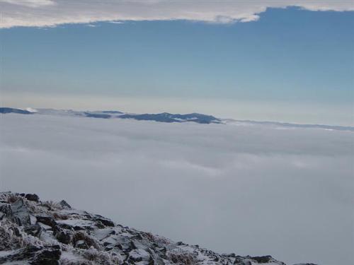
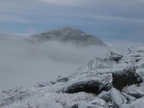
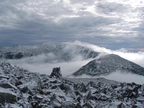
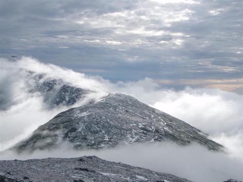
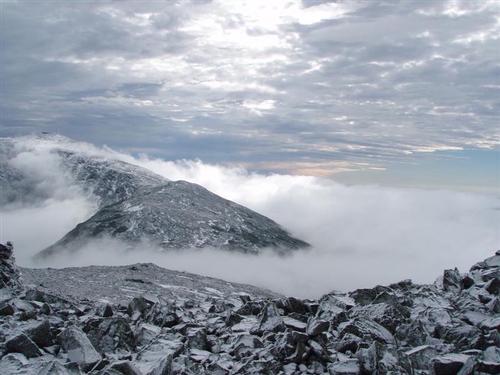
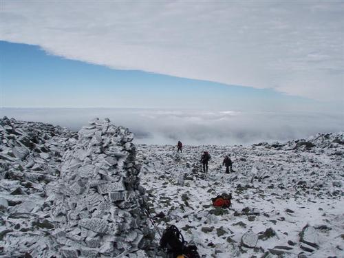
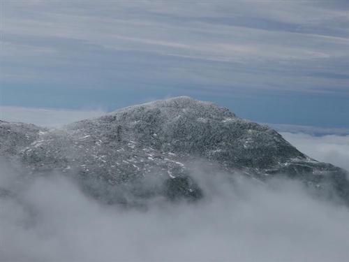
The scramble up the castles was fun and energizing as we broke through the clouds revealing an undercast!
The trip report
The weather forecast was for mostly cloudy skies, chance of snow showers and minimal wind.
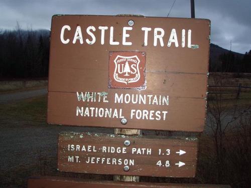
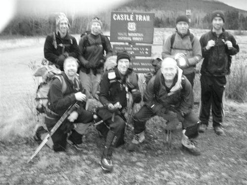
We arrived at Bowman at 8:00am to find everyone there. The weather was cloudy and the Catellated Ridge was hidden from view.
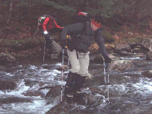
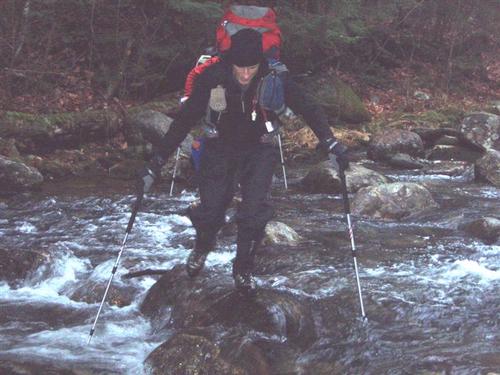
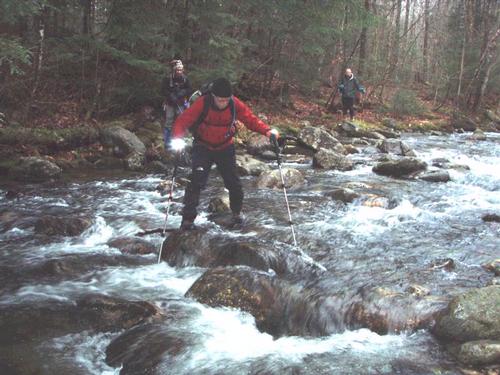
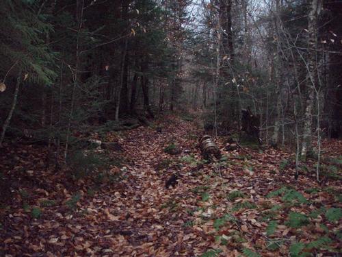
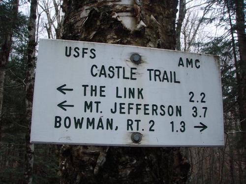
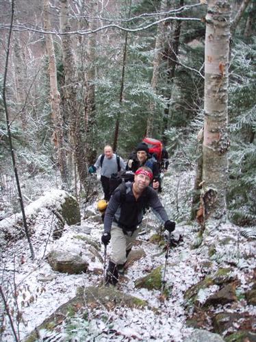
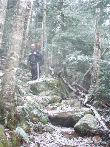
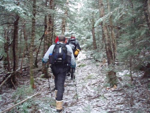
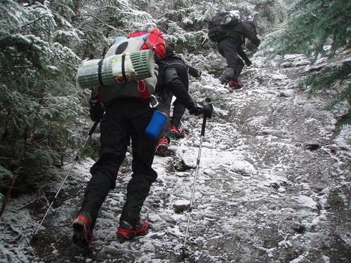
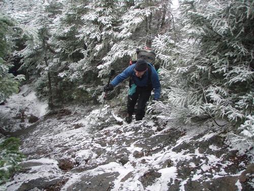
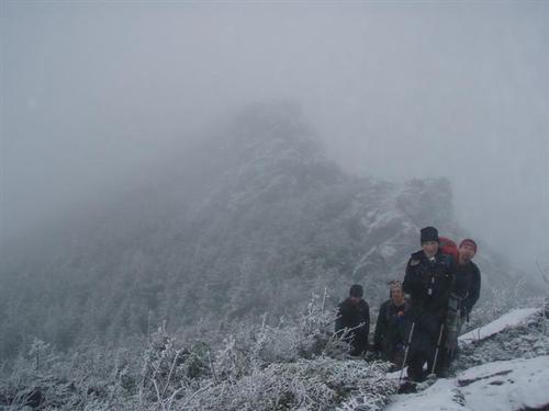
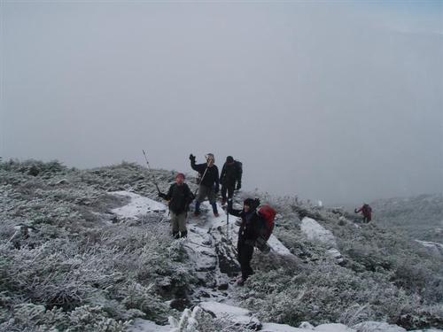
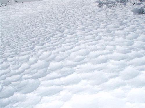
To make things interesting we had a very tricky crossing on the Israel River due to high water. The trail was still damp and slippery with fallen leaves. We cruised along the first couple miles at breakneck speed as the grade was flat to moderate and we quicly loosened up. Approching with what the White Mountain Guide describes as the big boulder, I checked my watch and we had covered the first 2.2 miles in 90 minutes. We were beginning to see snow on the trail.
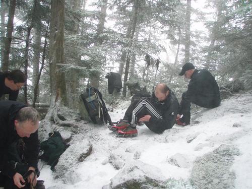
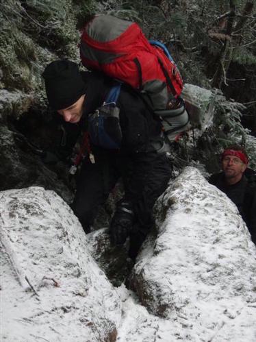
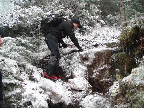
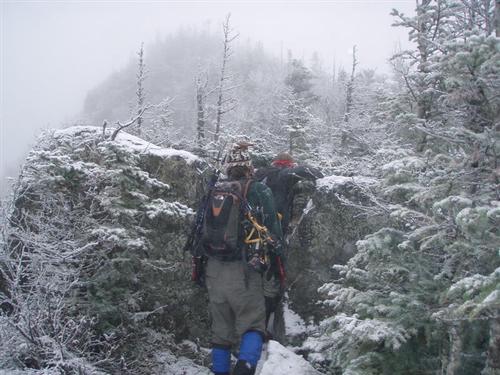
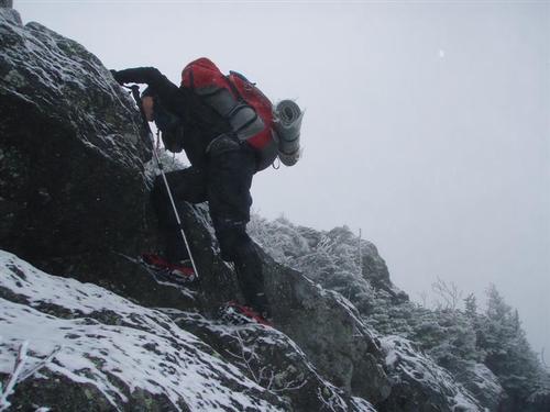
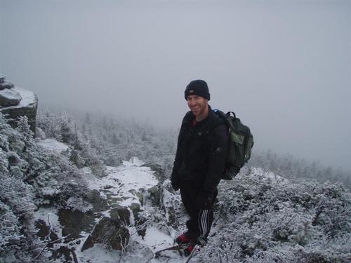
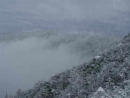
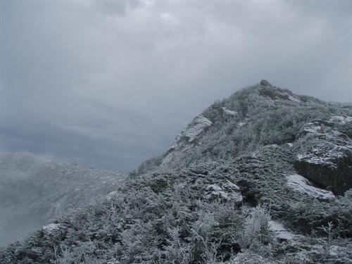
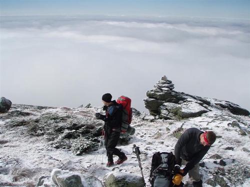
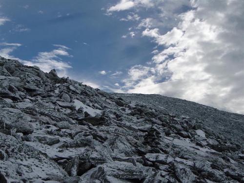
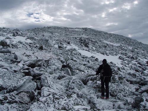
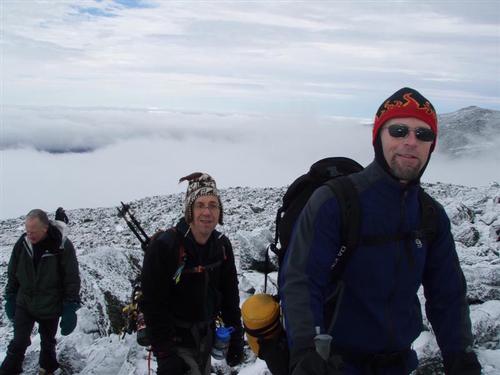
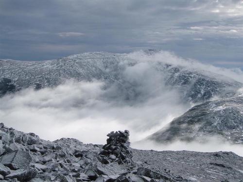
We were making good time but we knew that this was about to end. The crank up to the ridge began here and a quarter mile or so later we were rewarded with an idyllic ridge walk that in places was almost level. This was an open boulevard; a great place to walk. Soon the incline increased and we reach the intersection of the Link Trail where we put on our MicroSpikes for traction. We then started the scramble up to the Castles which are rock outcroppings that resemble a spiny ridge. Soon after we were rewarded with brightening skies as we approached treeline. Within minutes we broke out of the clouds and could see the surrounding peaks poking out like islands in a calm sea.
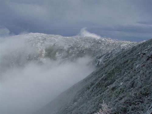
The scramble up the castles was fun and energizing as the view became more impressive with the increase in height. We started getting excellent views of the upper headwall of Castle Ravine. Looking back, the first Castle was impressive and intimidating as we moved away and looked back into the void. We could not stop taking photos! The gawk factor was outstanding. The total interplay of clouds and peaks was a sensory overload of which we could have stayed in one place to watch all day. Reluctantly we moved upward along the trail and we kept turning around to admire the ever changing scenery.
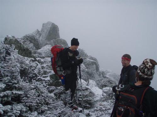
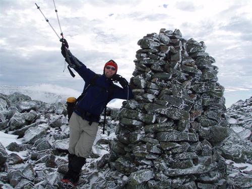
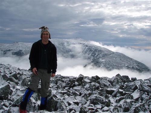
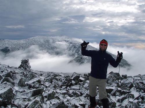
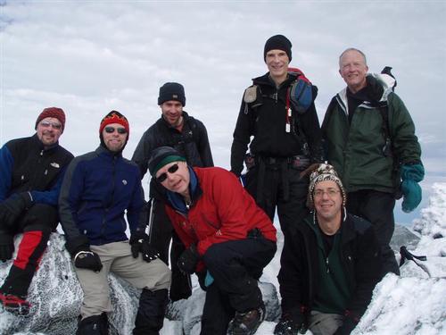
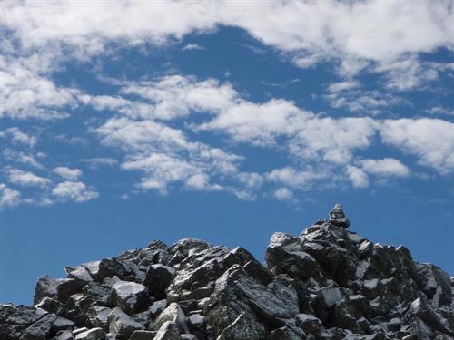
The mile from the Link junction to the Cornice junction took us about 90 minutes, due to the scrambling and wonderful views. From there we scrambled up the rocks to the summit of Mt. Jefferson. We saw the first people of the entire day descending as we approached. We reached the summit at 12:45pm and there was hardly anyone there. There was no wind, it was comfortable, and the views of the swirling clouds around the peaks was outstanding. Alex measured the temperature and it was 29 degrees.
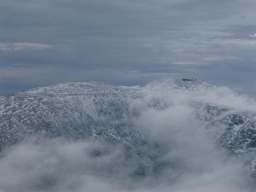
We took a number of photos from the summit and marveled at how comfortable the conditions were. We had lunch while gazing at the sumptious summit of Mt. Washington. Wanting to get back before dark we packed it up and quickly descended. We were back to our cars at 5:00.
Event photos (55)
Reactions
Log in to react to this trip report.
About this event
This is a long but highly rewarding approach up beautiful Castle Ravine with the usual Northern Presidentials rock-hop; then down the Castle Trail with terrific views and some tough scrambling along the spectacular Castles!
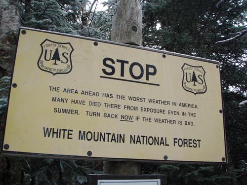
Mt. Jefferson [5,716'] has 360-degree views with the most striking view being down the Great Gulf with the Carter Range beyond. Castle Ravine is wild, steep, rocky with many brook crossings that may be difficult at moderate/high water; and is one the most least visited glacial cirques in the Whites. Our descent down the sharp, spectacular Castellated Ridge [Castle Trail] which narrows into wild, fin-like rock formations known as "The Castles" provides unforgettable views. In bad weather, it can be a dangerous trail because of long and continuous exposure above treeline.
Click Here For More Information: http://www.hikenewengland.com/Jefferson990905.html
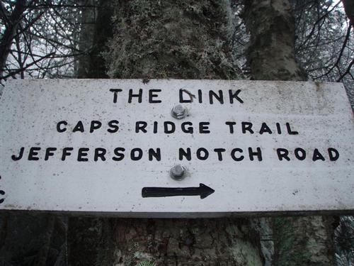
Distance: This hike is a total of 10.2 miles basically using the Castle Ravine to ascend and the Castle Trail to descend. At 1.3 miles we leave the Castle Trail to reach the Castle Ravine Trail via the Israel Ridge Path. At 3.2 miles we reach the lower junction of the Link Trail. We reach the summit of Mt. Jefferson at 5.2 miles and then descend via the Castle Trail reaching "The Castles" 5.7 miles. The ridge then becomes very narrow and the trail becomes steep and rough with some fairly difficult scrambles.
Time: 8-9 hours
Elevation Gain: 4,240 feet
This is NOT a dog-friendly hike.
Carpooling: Contact other members to carpool, share the conversation and travel expenses. Contact us if you want to carpool with us from Exit 28.
Cell Phone #: Will be provided to participants in an email.
Event Coordinators: Mike Boisvert and Jon Normand
After The Hike: We'll either have a BBQ or order out for pizza back at my house in Waterville Valley so bring a change of clothes. I have lots of towels and everyone can take showers to clean up.
Lodging Option: I have 8 bunks available with linen for both Friday and Saturday nights at my house in Waterville Valley for $20 [each night]. You can use the kitchen facilities and store beverages/food in the fridge. I serve coffee in the morning and a continental breakfast. Contact me to RSVP. SPACE IS LIMITED TO EIGHT GUYS.


Comments
No comments yet.
Log in to join the conversation.