
Peak bag Mounts Willey, Field, and Tom.
It was a cool summer day for a great hike up three 4K mountains.
The trip report
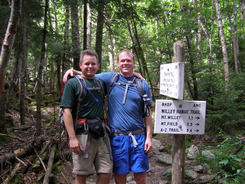
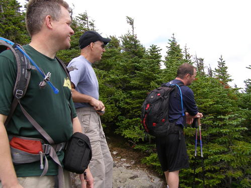
It was a cool and partly cloudy day. The temperature ranged from 60-65F making it great for hiking. Four of us meet up at the AMC Highland Center and carpooled to the Kedron Flume Trail parking lot not far down the road.
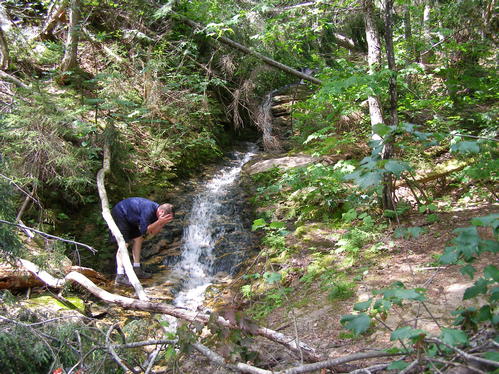
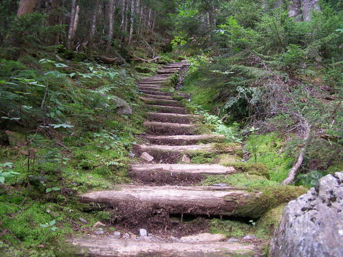
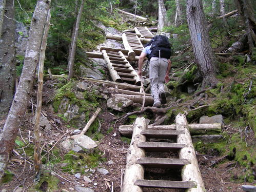
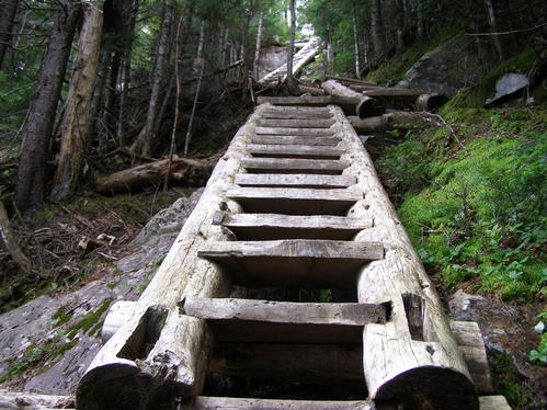
The Kedron Flume Trail and the Willey Range Trail up to the summit of Mount Willey gave us a moderate to strenuous steep slope to climb which put our cardio abilities to the test. These first few miles accounted for nearly 3000 of our 3650 feet of elevation gain for the entire hike. We worked a hiking pace which kept us together, allowed many short rest stops, and let us enjoy these beautiful trails. One member did well while still recovering from a cold. The trails passed by the Kedron Flume which was small but pleasant, through a damp spruce forest with many mosses, and up very steep slopes which required stair-like ladders for several hundred feet. Though there were a few long steps up in some places the footing was always safe for us and we all expressed our enjoyment of the accent.
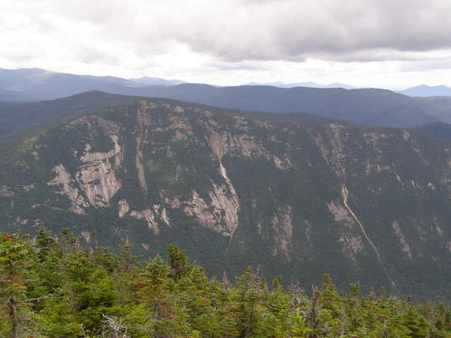
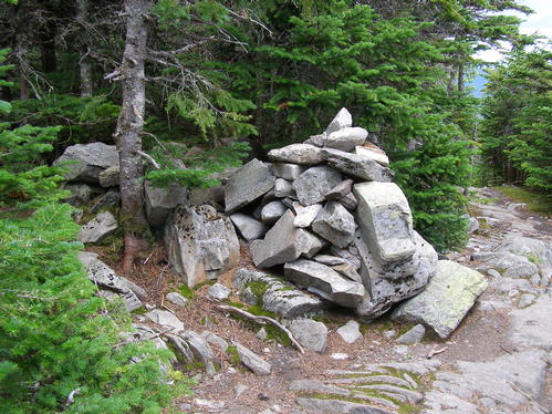
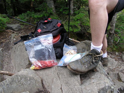
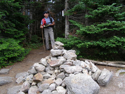
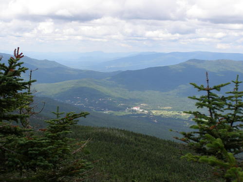
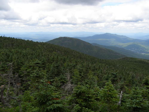
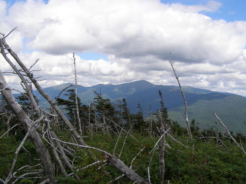
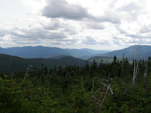
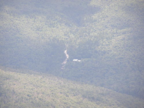
We summated the wooded top of Mt. Willey and checked out two overlooks. One to the south and one to the north-west. At the second overlook we ate our lunch at just after noontime. Our traverse to Mt. Field was easy to moderate. We began to pass many hikers from here to the end of the trip. Mt. Field was wooded with a short path to an overlook viewing the Presidential Range. We rested at the summit with several other hiking groups, were entertained by three Canada Gray Jay birds, than moved on to Mt. Tom. On Mt. Tom we found another wooded summit with very short trees and many groups of hikers again. There were wide views to the south and another area near the true summit with a view towards the Zealand AMC hut.
From Mt. Tom we backtracked a half mile than began our decent to the Highland Center. These trails were a little rocky and slightly steep for the first half and less steep for the second half. As we approached the end of the trail it began to be noticeably wider and more used. We also had more people wearing flip-flops asking how far the trails go. We kindly pointed them to a cascade a few hundred feet further up.
Overall we found that starting on the rougher and less popular trails made the hike challenging, enjoyable, and more rewarding. The mountains gave us plenty of views. It was an exciting hike which let three out of four of us add three more mountains to our lists.
After the hike we drove to a very small restaurant in Bethlehem. Whatever the place was it gave a gourmet food presentation with great taste for a very modest price. This food venue was a great pick for a social meal and chat before we left.
Thank you everyone for a great hike!
Event photos (15)
Reactions
Log in to react to this trip report.
About this event
Peak bag Mounts Willey, Field, and Tom. Three 4K mountains in the Willey Range of the White Mountains. Be prepared for a challenging hike with steep scrambles and ladders. Poor weather may postpone this hike.
Difficulty: Strenuous (rough terrain, elevation)
Distance: 9 miles
Elevation Gain: 3650 feet
Hiking Pace: Moderate with necessary hydration and scenic spot stops
The Mountains
Mt. Willey (4285 feet), Mt. Field (4340 feet), and Mt. Tom (4051 feet) are mountains on the NH 48 4K list. They are located near Crawford Notch State Park in the White Mountains within the Willey Range.
Our Route
First we will meet at the AMC Highland Center to spot some vehicles and carpool to the Willey House Site 2.7 miles south on Route 302. (Note: the Willey House Site and the Willey House Station site are two different locations.)
From the Willey House Site we will hike the Kedron Flume Trail to the Ethan Pond Trail (1.3mi. 1150ft.). This section will be very steep and rough. We will turn right onto the Ethan Pond Trail and follow it to the Willey Range Trial (0.3mi. 200ft.). We will hike the entire Willey Range Trail to the A-Z Trail while summiting Mt. Willey and Mt. Field (3.4mi. 1950ft.). The climb to Mt. Willey will be very steep and rough, it will involve the use of ladders in some locations. We will turn right onto the A-Z Trail and hike 240 feet to the Mt. Tom Spur Trail. Here we will hike to Mt. Tom and back (1.2mi. 350ft. round trip). Than we will hike the A-Z Trail to the Avalon Trail (1.0mi.) which will take us to the AMC Highland Center (1.8mi.). Parts of the A-Z and Avalon Trails will be a moderately steep and rough decent.
What To Bring
Sturdy and trail tested hiking shoes are a must. Avoid the use of cotton clothing. Jeans will not be permitted on the hike. Bring plenty of water (suggest at least 2 liters), a lunch, and high energy snacks. Other items: 1st aid kit, flashlight, sun block, rain gear.
Misc. Trip Notes
We will designate a lunch spot while hiking.
The hike will immediately start out steep and rough.
This is not a dog friendly hike.
Your Hosts
Brian (WalkaboutBrian) and Mark (Markus24)
Comments
No comments yet.
Log in to join the conversation.