
The trip report
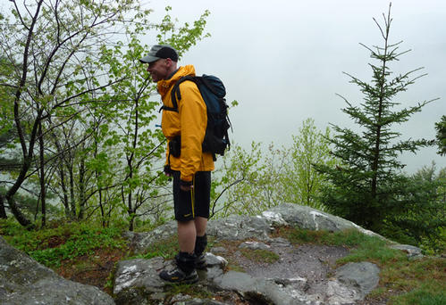
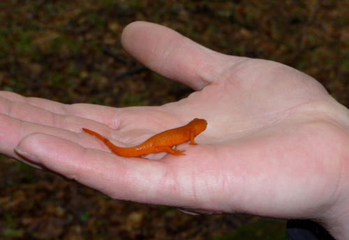
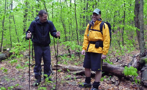
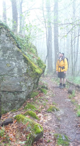
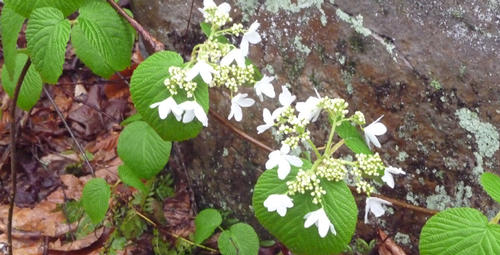
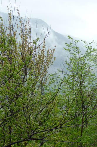
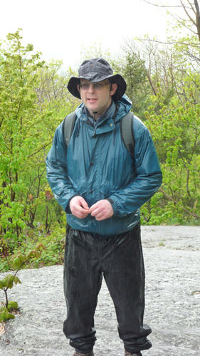
Considering the rainy forecast, we had a good turn out for the hike: Doug, George, Jim, and Stephen all showed up - against better judgement! Fortunately, the heavy rain came in the early morning hours, so we contended only with occasional light showers. In the afternoon, toward the end of the hike, rain stopped and clouds lifted. By the time we got to the restaurant, there were breaks of sun, and ironically, we were seated indoors for the best weather of the day. At least we avoided the thunderstorms that followed later in the evening. The weather precluded any nice views through the trees on this ridgeline hike. We did however get to experience the essence of the Green Mountains in springtime: wet, cool, and misty. Some of the wildflowers we spotted were painted trillium, purple trillium, wild columbine, and wild oats. We passed through prime deer and bear habitat, but saw neither. We did see red efts everywhere, a delightful diversion on the trail.
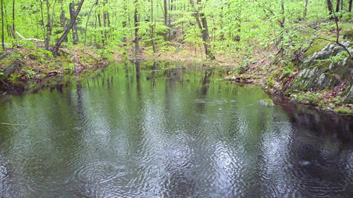
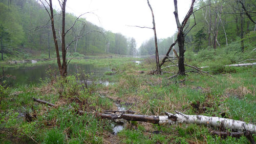
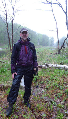
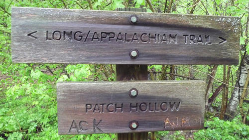
We made good time on the hike, despite a leisurely pace, and finished in about four hours. We left the parking lot at 10:10a, arrived at the trailhead and started hiking at 10:30a. We arrived at the Minerva Hinchey Shelter around noon after 2.7mi. and took advantage of a break out of the rain to have some water and snacks. We were at Patch Hollow, a mile from the shelter, by 12:45p and two of us took another short break to see the beaver pond and old foundations of a former homestead. We reached the height of land on Bear Mt. at 1:15p and 4.2mi, then started a descent to a vista (and the first view of the day) at the Domed Ledge at 5.3 mi. From there, we continued an easy descent back to the parking lot where we had spotted cars, arriving just after 2:30p. Thanks guys for joining me on this wet hike and making it an enjoyable event.
Total distance: 6.3 miles
Total time: 4.0 hours
Total elevation gain: 1430 feet
Event photos (19)
Reactions
Log in to react to this trip report.
About this event
Join me for a spring hike through varied terrain on the Long Trail /Appalachian Trail near Rutland, VT. This is a mostly wooded hike with a few vistas west to the Valley of Vermont and south to the White Rocks Cliffs and may offer a chance to spot local wildlife, particularly abundant deer.
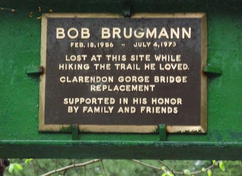
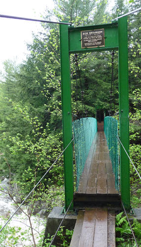
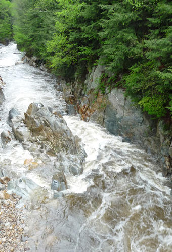
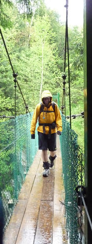
This is a one-way hike, north to south, and we will spot a car at the end of the hike in order to return to the start. From Vt. Rte 103, the trail travels south on a suspension bridge over the Mill River at the head of Clarendon Gorge. It then climbs steadily 0.7mi to a lookout with views to the west. The trail follows a ridge for a mile, before ascending to the Minerva Hinchey Shelter at 2.6mi. The trail descends, then shortly joins an abandoned road that leads 0.9 mi. to a former home site at Patch Hollow on the north end of a beaver pond. From Patch Hollow, switchbacks lead 0.6 mi. to the height of land on Bear Mountain (2100’), where the trail follows a ridge along the wooded crest of the mountain. It then descends steadily over switchbacks on the steeper south slope with views to the south through the trees. At 5.2mi and 1575’, a short spur leads west to a vista from a domed ledge. The trail continues its descent 1.1mi to reach the end of the hike at Vt. Rte 140.
Total distance: 6.3mi. Elevation gain: 1430’. Estimated hiking time: 4-5 hrs, plus 1 hr for breaks, lunch, etc. Please dress accordingly for a day in spring conditions, wear appropriate boots with thick socks. Also bring along snacks, water, lunch and anything else you may require for the day
?
?
?
Comments
No comments yet.
Log in to join the conversation.