
Mt. Kearsarge/Baker's Ledge Hike
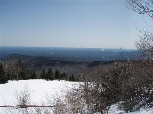
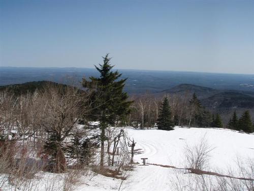
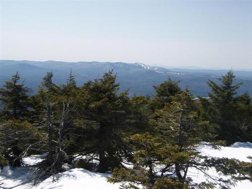
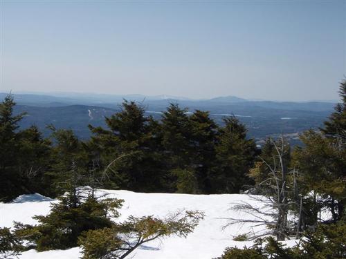
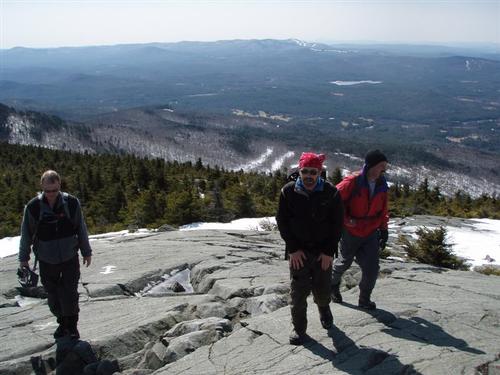
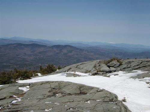
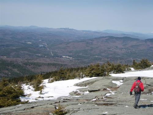
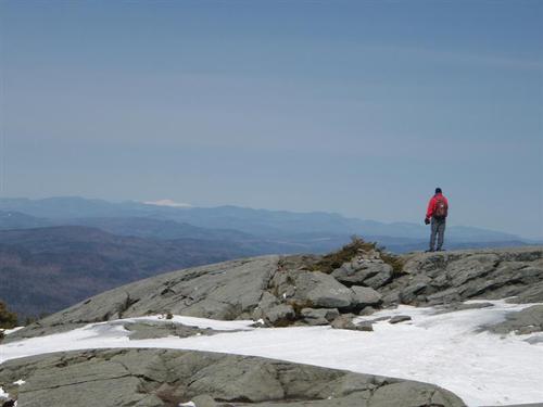
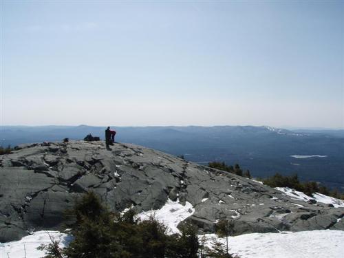
The summit is a large, open, rocky area and the clear skies afforded fantastic views in all directions!
The trip report
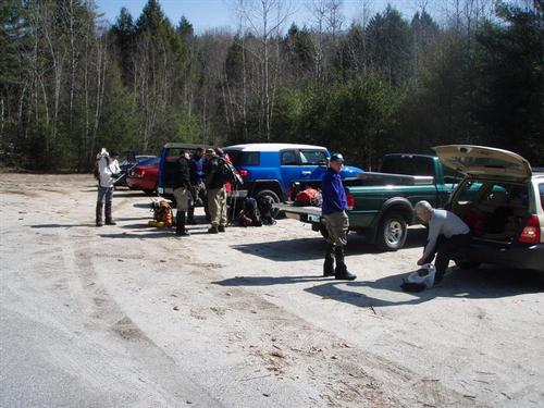
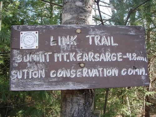
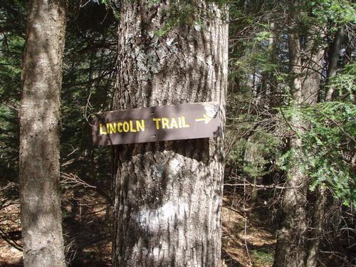
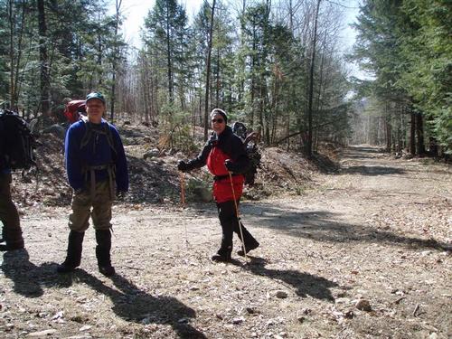
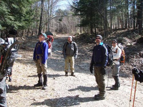
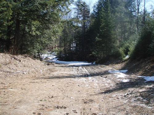
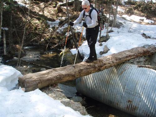
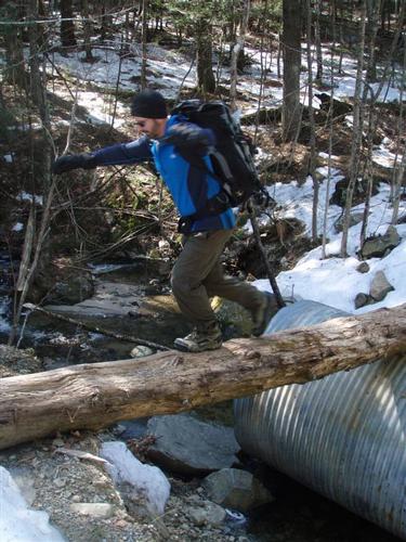
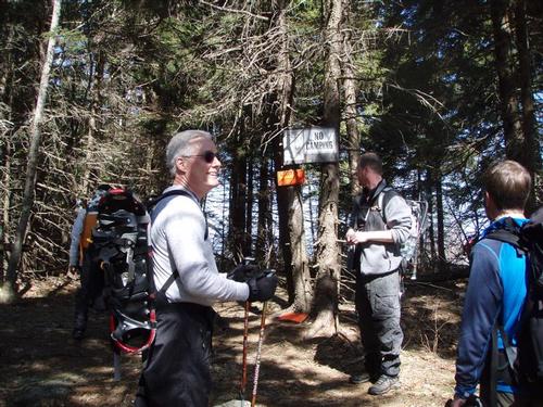
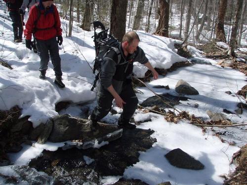
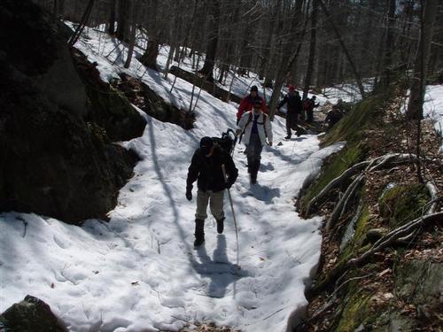
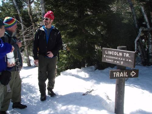
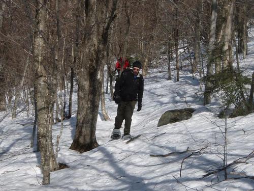
Ten enthusiastic GOers showed up for the Mount Kearsarge trek. The ground was bare at the start so we strapped our snowshoes to our packs. For the first half-mile, the path meandered around neat looking boulders, through deeply shaded woods. Once we reached the Lincoln Trail, we enjoyed the sunshine. For the next one and half miles this section of trail was wide and doubles as a snowmobile trail. We started to encounter patches of snow. Our adrenaline picked up when we had to use a catwalk to cross a brook that was about seven feet high off the ground.
Baker's Ledge marked the two-mile point. We took the spur path to check out the views from the cliff and have lunch. We found the views to be quite limited.
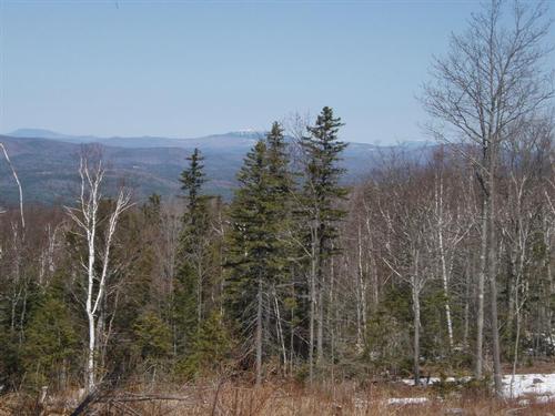
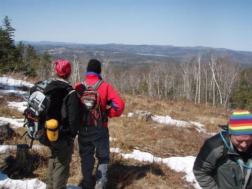
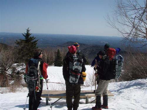
We found we would have been better off to have lunch a bit further on the Lincoln Trail that leads to a clearing with impressive views towards Mt. Cardigan.
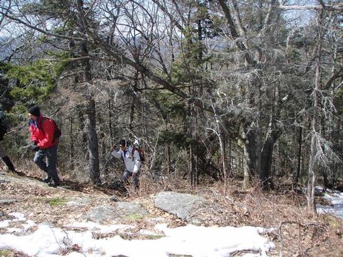
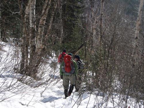
While hiking the next two miles above the ledge, it felt like we were in the wilderness since the blazes were faint and routefinding was challenging. The trail was narrow with a few downed trees we had to climb over; and lots of broken branches/twigs were on the trail which plagued us most of the day. We started to encounter much more snow.
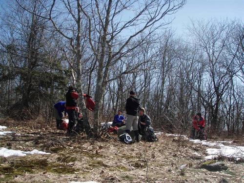
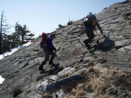
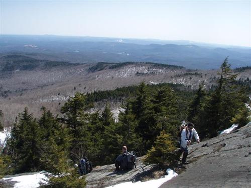
After a short, challenging pitch, we came upon an open rocky area where we were rewarded with some pleasant views. As the trail got steeper, many guys decided to put on MicroSpikes and Yak Traks. Continuing on our "wilderness" hike, we eventually entered a grove of old, twisted birch trees, and soon after we reached the parking lot for Rollins State Park which meant we only had a half-mile to go. By this time we were wishing it was summer and had our cars waiting here for us.
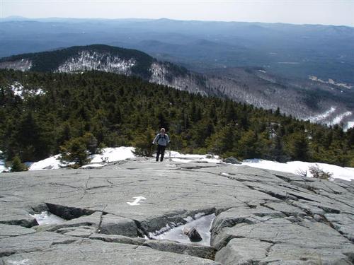
We had difficulty finding the Rollins Path to the summit and ended up going off-trail steeply over the summit ledges. We soon found the Lincoln Trail that led us to the summit.
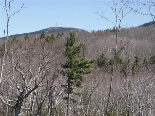
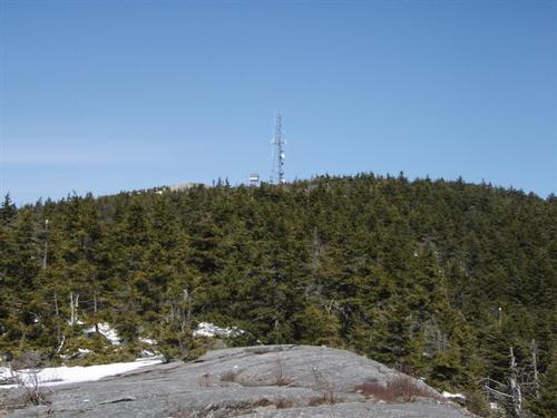
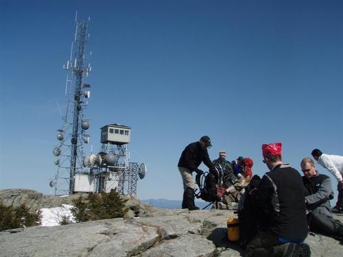
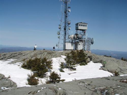
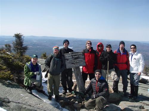
The summit is a large, open, rocky area and the clear skies afforded fantastic views in all directions. The wind was refreshing. We only encountered a couple of women on the summit. Many of us climbed up the stairs to the firetower.
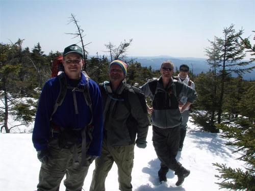
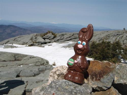
After exploring the summit for a while and posing for the requisite photos, we headed back down the trail. We found the Rollins Trail and used that to return back to the parking lot. We then hooked up with the Lincoln Trail to the descent back to our cars. Routefinding was easier since we had our footsteps to follow. We all made it back safe and sound, although we were weary.
It took about 3.5 hours for the whole group to make it to the summit, a half-hour break at the top, and about 2.5 hours for the whole group to descend.
Event photos (42)

Reactions
Log in to react to this trip report.
About this event
This is a hike up to Mount Kearsarge with outstanding 360-degree views from its bare summit.
Be prepared to hike with this group as our group motto is: We go in a group and we come out as a group. We will hike at a pace of our slowest hiker.
We will be hiking Mt. Kearsarge [2,937 feet] via the Lincoln Trail and Rollins Trail to the summit of Mt. Kearsarge. The total distance covered is 9.2 miles, it should take approximately 6 hours and the elevation gain is 2,100 feet. On a clear day, skyscrapers from Boston 80 miles away are visible from the firetower on the summit.
From the parking area we follow the meandering Link Trail around neat looking boulders to hook up with the Lincoln Trail [part of the Sunapee-Ragged-Kearsarge Greenway Trail]. We'll be having lunch on Baker's Ledge with views towards Sunapee. Once we reach the Rollins State Park upper lot [currently closed] we'll climb to the summit using the Rollins Trail. The summit is large, open and rocky ~ and greatly exposed to the elements.
Mountain weather is subject to rapid changes and extreme conditions. We will assess travel and weather conditions during our hike and make changes to our planned trip as necessary.
Being prepared, traveling with the appropriate gear and knowing how to use it is your personal responsibility. Test and adjust your gear prior to this trip.
Snowshoes and crampons/micro spikes are a must!!
NO COTTON CLOTHING ~ Cotton [the death cloth] has no place in the mountains.
After the hike we can drive into Concord, NH for some apres hiking eating/drinking. Bring a change of clothes to change into after the hike.
Event Coordinators: Mike Boisvert and Jon Normand
Carpooling: Contact other members to carpool, share the conversation and travel expenses. Contact us if you want to carpool with us from Exit 9-S in Manchester at the Burger King parking lot.
Who came along (4)
 SUSTAINING
  GUEST MEMBER
  SUSTAINING
  GUEST MEMBER
Comments
No comments yet.
Log in to join the conversation.