
Mounts Liberty/Flume Hike
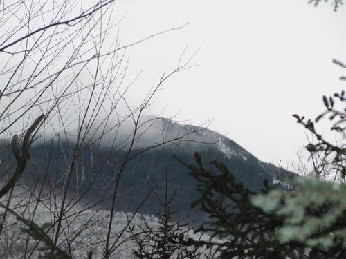
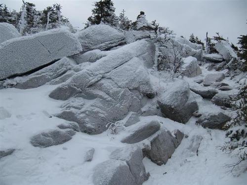
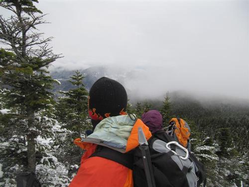
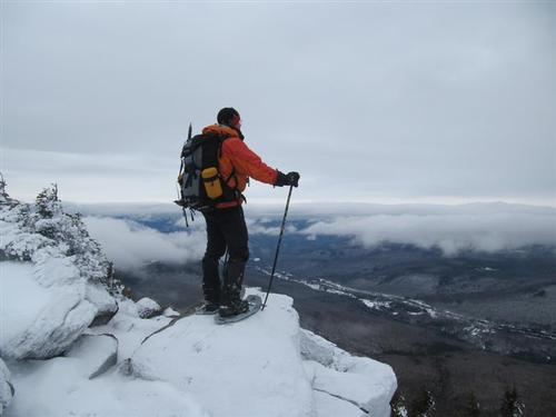
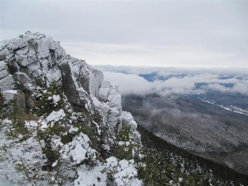
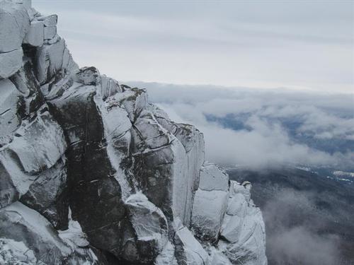
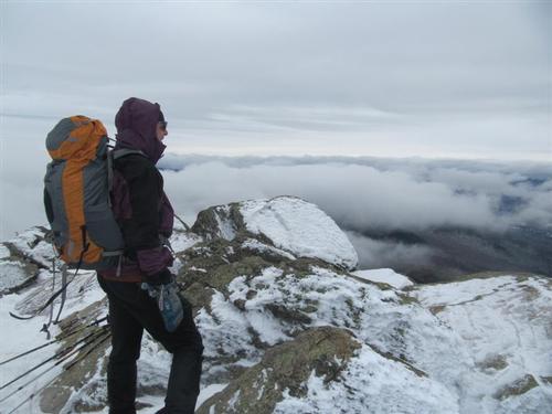
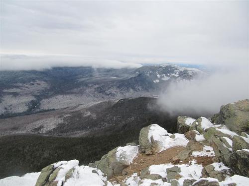
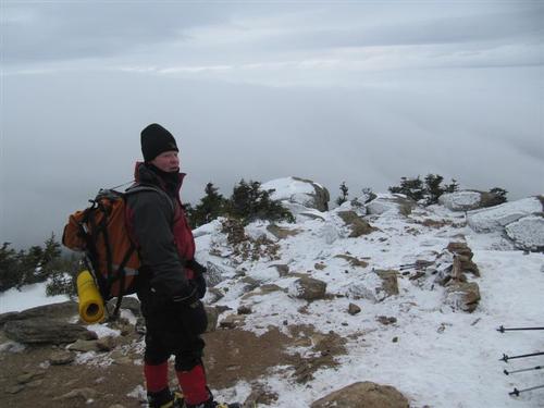
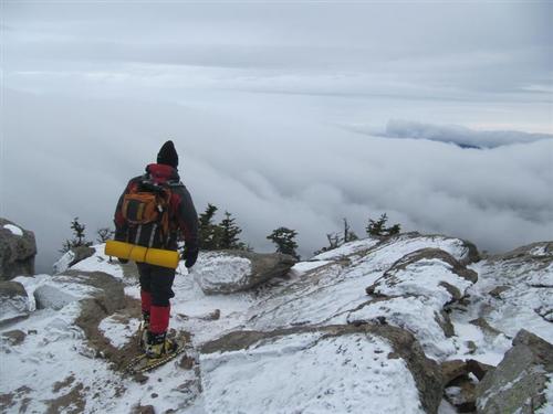
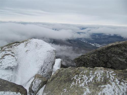
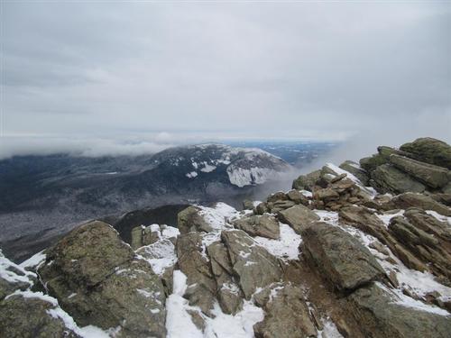
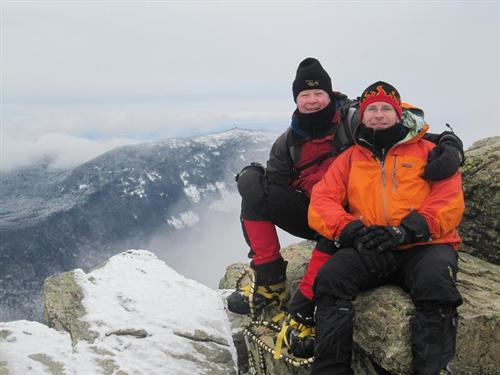
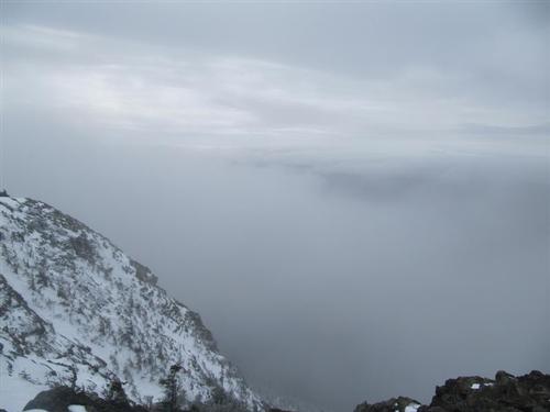
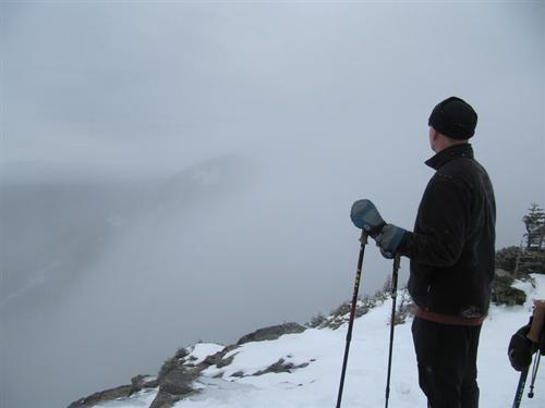
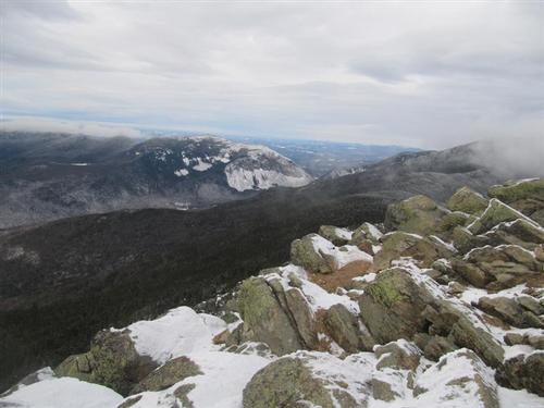
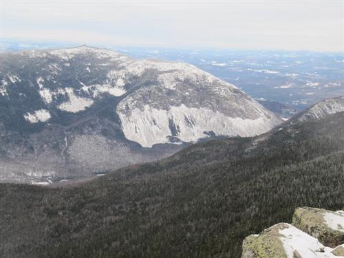
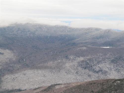
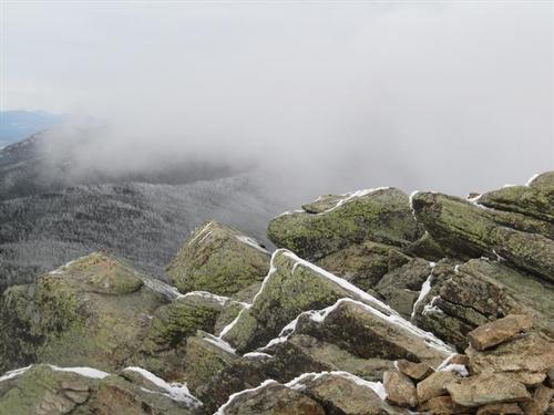
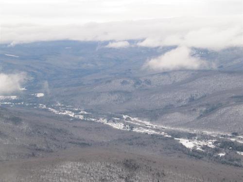
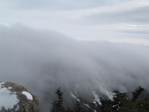
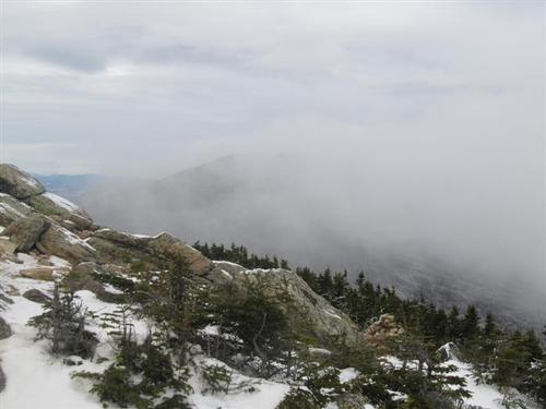
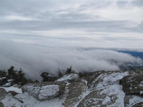
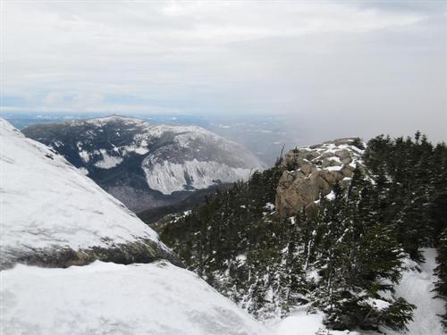
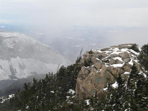
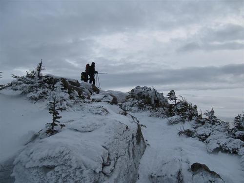
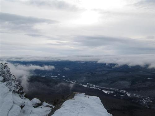
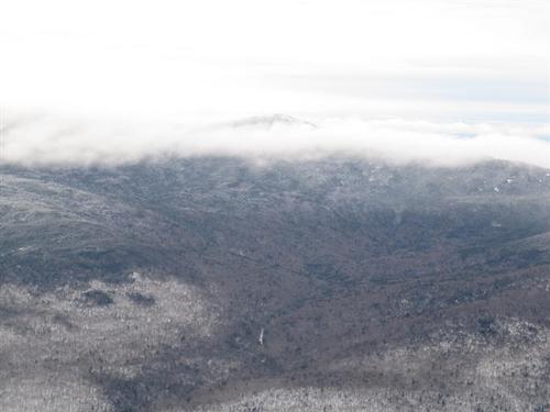
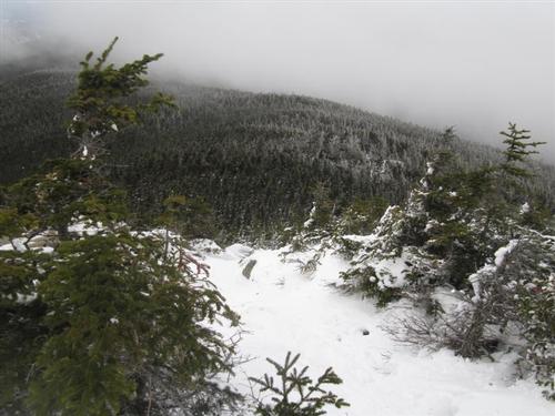
Suprisingly Liberty was in the clear all day with outstanding views west with a spotty undercast. Flume had a cloudcap on it. While it was windy it never got below 20 degrees. It turned out to be a great day for a hike after all.
The trip report
We all geared up, wished each other "Merry Christmas" and we were off at about 8:15.
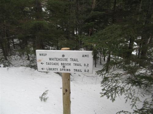
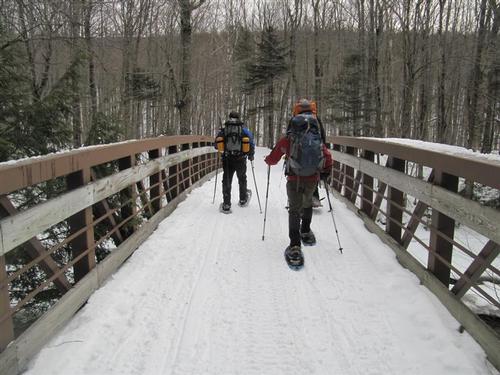
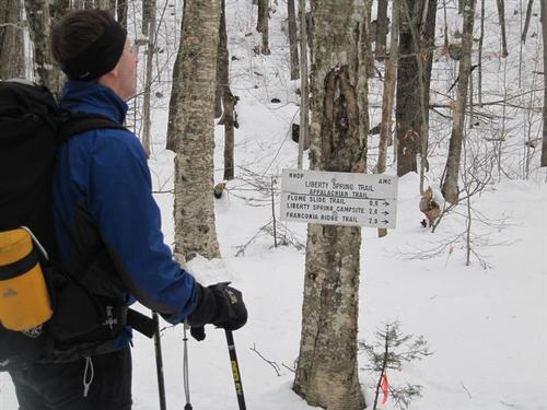
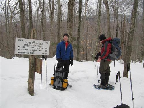
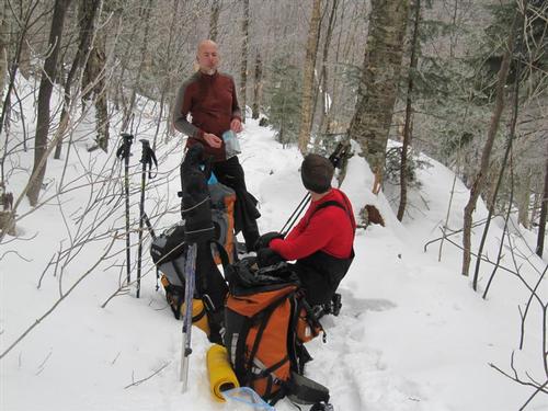
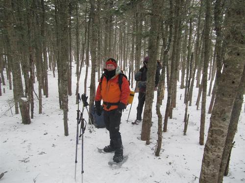
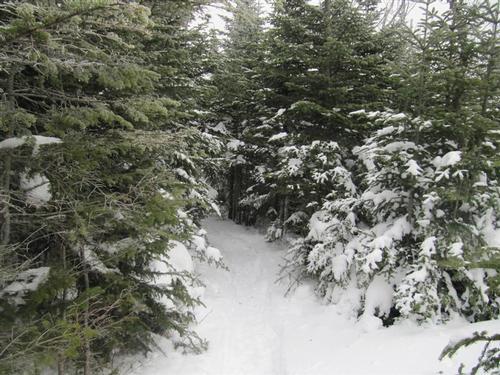
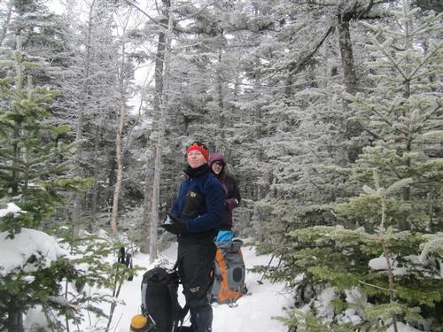
We followed the Whitehouse Trail, took the short walk along the bike path, came to Liberty Spring Trail and hiked up to the Flume Slide Trail Junction. At this point we stopped for a layer break and then headed off into the woods.
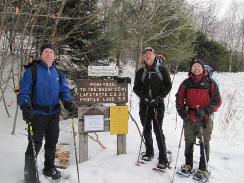
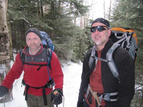
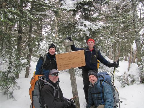
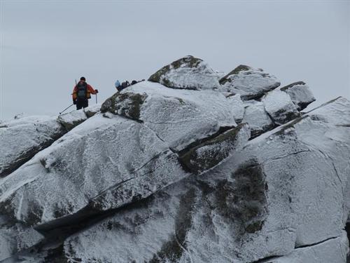
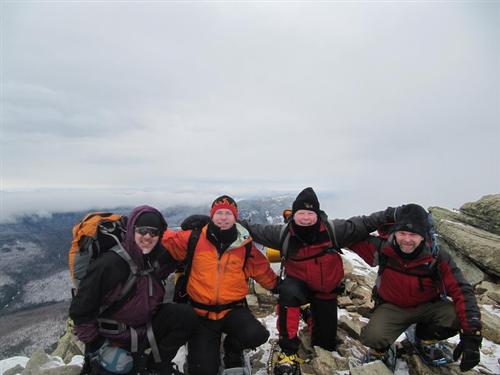
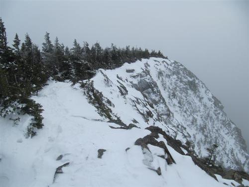
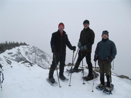
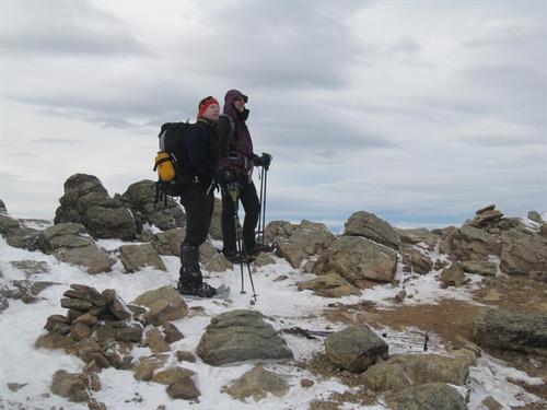
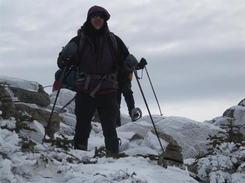
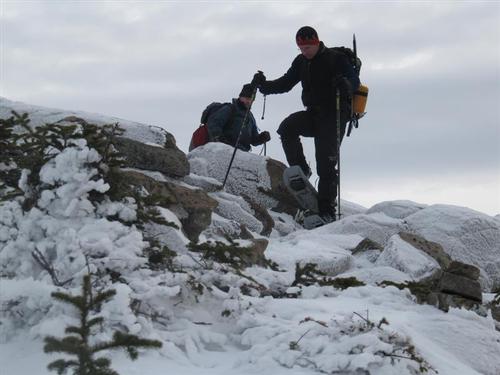
About an hour and half later we were at the tent site just before the Franconia Ridge Trail. Just before noon we were at the summit of Liberty [4,459 ft.] with outstanding views west and a spotty undercast. Flume had a cloudcap on it. While it was windy it never got below 20 degrees. We met a group of three hikers and we took pictures of each other. We hiked over to the summit of Mt. Flume and were the only ones there. We retraced our steps and in the col [between Flume and Liberty] sat down to have some lunch. We then hiked up Liberty entailing a 550-ft. climb.
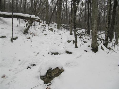
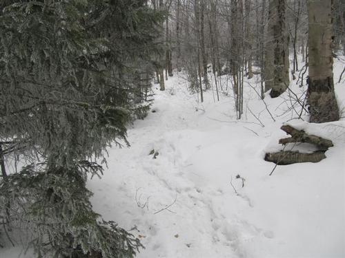
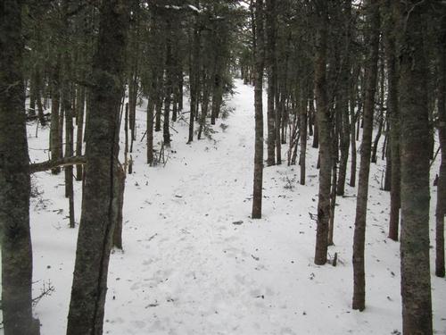
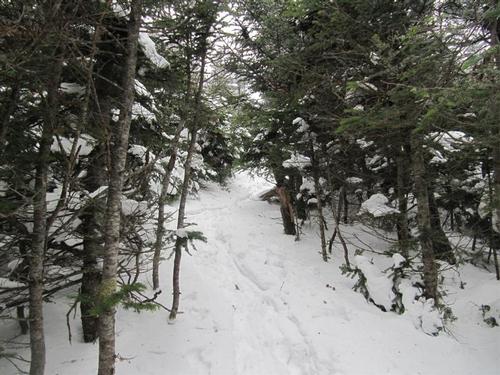
Pretty uneventful trip down but it was fast due to the trail being packed down. We got back to the cars just before it got dark.
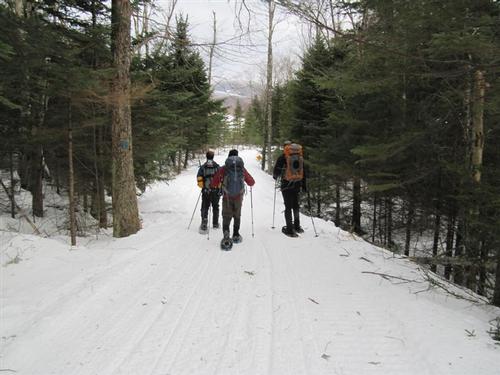
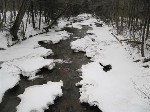
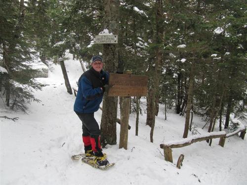
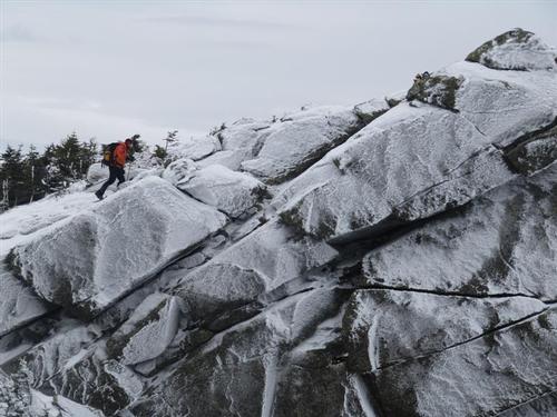
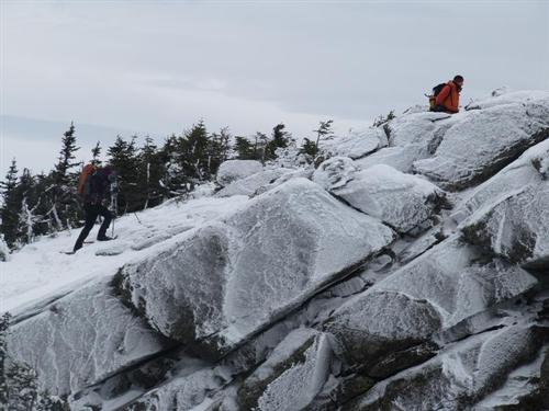
Great hike, surprisingly great views, and temps around 20. Most prior parties had barebooted, but we found snowshoes helpful between Liberty and Flume to prevent post-holing. All stream crossings were ice bridged. A total of 10.2 miles with a 4,250-ft. elevation gain in about 7 1/2 hours.
It was the perfect way to celebrate Christmas!
View Slide Show Press F11 for full effects...
Event photos (59)
Reactions
Log in to react to this trip report.
About this event
A relentless but popular winter hike over two 4,000-foot summits with classic Franconia Notch views! We'll be using the Whitehouse Trail, Liberty Spring Trail and Franconia Ridge Trail up and back.
Finding the trailhead: Travel north on Interstate 93, past exit 33, until the highway becomes the Franconia Notch Parkway. Take Parkway exit 1 and drive north on U.S. Highway 3, 0.2 mile past the second driveway for the Flume Visitor Center. The trailhead turnoff is designated by a sign for the Appalachian Trail Parking before northbound US 3 reenters the Franconia Notch Parkway.
Total Distance: 10.2 miles
Elevation Gain: 4,250 feet
Amount of time: 7:15
Park Fee: $3 per vehicle WMNF Parking Fee
Equipment: All hikers should dress for winter conditions. They should have winter insulated hiking boots, snowshoes, traction/MicroSpikes for icy conditions and headlamp. Sunset is around 4pm. This hike is weather sensitive. Official weather advisories, high winds or rain cancels. Please watch your email for changes and cancellations.
Hike Description: After a warm-up approach, this climb to Liberty entails a long, steady slog up the west slope of the mountain followed by a short ridge walk to the summit. We continue to Mt. Flume, following the southbound Franconia Ridge Trail off Liberty summit, which actually descends east off summit, dropping steeply over ledges and large rocks.
After The Hike: We'll pitch in and have a post-hike Pizza Party at my house in Waterville Valley around the fireplace. We'll stop at a store on the way back for you to buy beer/wine. Bring a change of clothes to freshen up and take a shower at the house.
Lodging Option: Lodging available the night before and after the trip at my house in Waterville Valley for $20 each night. Cost includes a continental breakfast with coffee. Accommodations are dormitory style bunk beds. Hot showers, bed linen, towels, soap, shampoo, full use of the kitchen and fireplace is included. No need to bring a sleeping bag. RSVP IS REQUIRED AND SPACE IS LIMITED TO EIGHT GUYS.
Trip Leaders: Mike Boisvert and Jon Normand
Who came along (0)
No sign-up roster was recorded for this event.
Comments
No comments yet.
Log in to join the conversation.