
The trip report
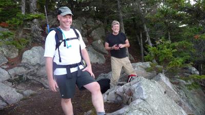
For some time, I have been looking forward to doing this approach to the White Rocks cliffs, so thanks George and Phil for exploring the route with me.
The three of us started out around 10:15 with a warm sun beginning to burn off the morning fog. The temperature rose quickly out of the 50’s. Vistas from the overlooks on the approach trail (White Rocks /Ice Beds trail) were obscured by a bright mist. By the time we reached the bottom of the talus slope 30 minutes and a short mile later, skies had cleared and we could make out the route to the cliffs above.
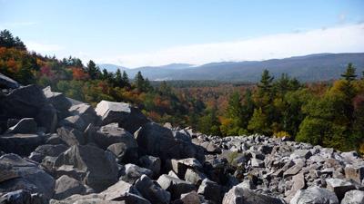
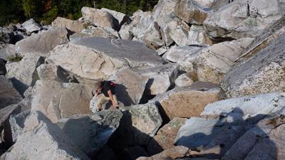
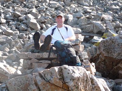
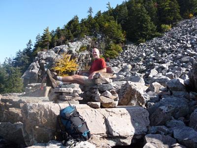
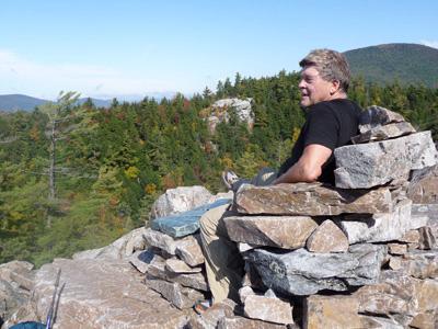
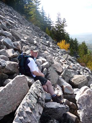
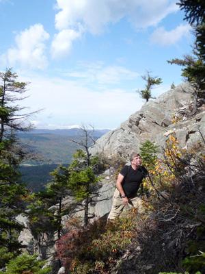
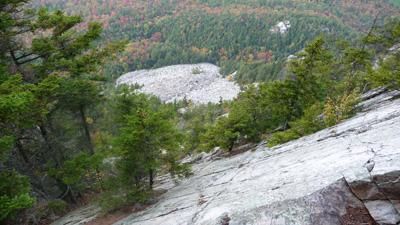
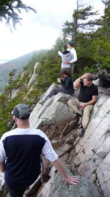
We clambered over boulders at the base of the rockslide until we reached a high spot above the trees with a better view of the climb. We proceeded cautiously at first, since some of the rocks hadn’t yet dried off and footing was slippery. We took plenty of breaks; the route was steeper and rougher than it seemed from below. There is no official trail up this side of the cliffs, but I had hoped to find at least a few cairns erected by previous hikers. We didn’t see any cairns, but we came across one piece of evidence that someone had been there before: it was a stone seat hand-built with a marble plaque, presumably as a memorial. We all took a turn enjoying the fine views from this perch.
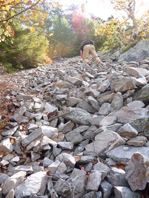
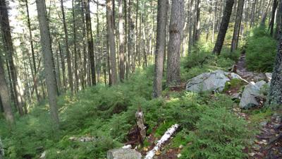
From the "seat", we continued the climb up the talus making our own route up the center of the slide. From below, it had seemed that it would be easier to make the ridge to the left of the slide and proceed up from there rather than follow the slide to the top and try to climb the cliffs. After scouting it out, we found that the climb up the ridge was steep, wet, and slow, so we opted instead to continue on the slide up to the base of the cliffs. This took us into the woods along a trail of loose scree, and from here George navigated to a trail along the base of the cliffs. From there it was a short 200 ft climb (maybe Class 3?) up the cliff to the outlook. Spot on! We arrived at the view point around 1:15, about 3 hours from the start.
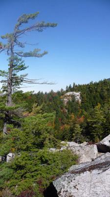
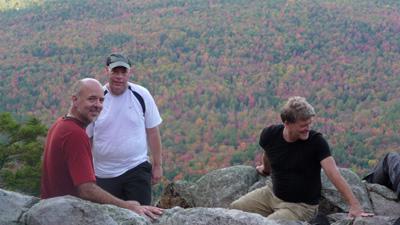
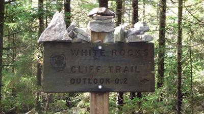
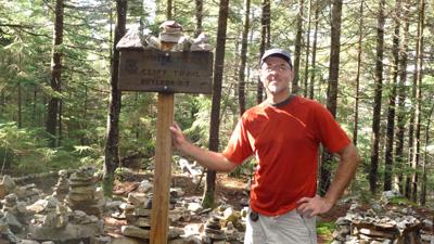
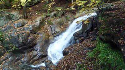
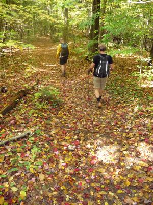
After enjoying the views and taking a short lunch break, we headed back down to the parking lot on the official route to the outlook via the AT/LT and Keewaydin Trails. We made good time on the descent - despite a couple of stops to admire stone sculptures and a small waterfall – and arrived back at the start around 2:15.
Total time: 4 hours
Total distance: 5 miles
Cumulative elevation gain: 1700 feet
Quote for the day:
"Always in the big woods, when you leave familiar ground and step off alone into a new place there will always be, along with curiosity and excitement, a little nagging of dread. It is the ancient fear of the unknown and it is your first bond with the wilderness you are going into. What you are doing is exploring. You are undertaking the first experience, not of the place, but of yourself in that place. It is an experience of our essential loneliness. For nobody can discover the world for anyone else. It is only after we have discovered it for ourselves that it becomes common ground and a common bond, and we cease to be alone." Wendell Barry
Event photos (18)
Reactions
Log in to react to this trip report.
About this event
We will start with a short hike of about a mile to the base of the talus slope via White Rocks and Ice Beds trails. The approach passes over a knoll with views of the cliffs and the valley to the south. From the base of the massive rock pile, we will climb over boulders and rock outcrops to the outlook on the cliffs above. This is not technical climbing, and no special equipment (other than sturdy hiking boots) is required, but be prepared to maneuver over boulders, hand over hand at times, and to navigate some steeper, exposed sections. From the top, we will return to the parking area via the Long/Appalachian and Keewaydin trails, a 3.2mi hike with a descent of 1250ft.
Total distance: approx. 6.2mi
Total cumulative elevation gain: approx. 1700ft
"…it has been called ‘the best hike in Vermont you've never heard of’…"
"…it's not all that high, maybe 2,600 feet from a reading of the topo map, but the delights of scampering up the remains of a remarkable geologic event that took place some 12,000 years ago make it one of the most rewarding hikes in Vermont – at least for those willing to make their own path, and not prone to disabling bouts of vertigo, which you can definitely get here."
"…David Lacy, a forest archaeologist for the Vermont national forest, calls it "rare and unique" and unlike anything else in the state."
Meet at 10:00a in the parking lot of the White Rocks Picnic Area. Dress appropriately for a fall hiking conditions; include rain gear and a warm layer. Bring water and whatever food you will need for the hike.
From U.S. Rte 7 at the stoplight in Wallingford, follow Vt. 140 east 2.1 mi. to the junction of Sugar Hill Rd. on the right. Follow Sugar Hill Rd. 200 feet to the sign for GMNF White Rocks Picnic Area and turn right onto Forest Rd. 52. Follow FR 52 0.5 miles to the parking area at the end.
From Vt. 103 in East Wallingford, follow Vt. 140 west approx 4.0 mi to the junction of Sugar Hill Rd. on the left, and follow directions above to White Rocks Picnic Area.
Who came along (0)
No sign-up roster was recorded for this event.
Comments
No comments yet.
Log in to join the conversation.