
Hunter Mountain Hike
A Catskill hike up to Hunter Mountain with a little bushwhacking!
The trip report
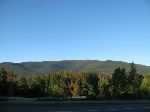
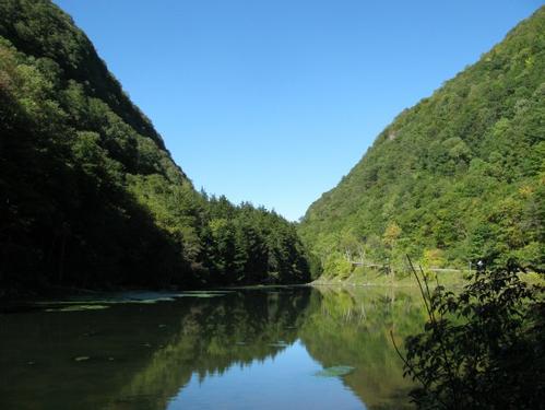
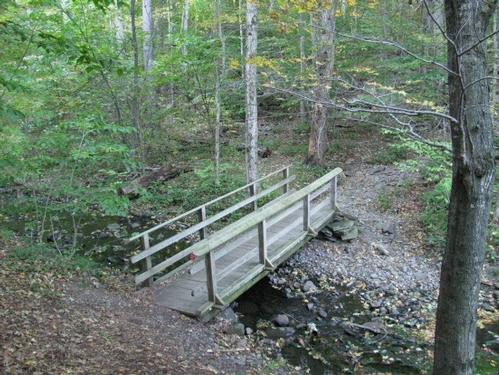
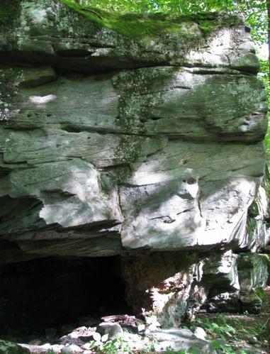
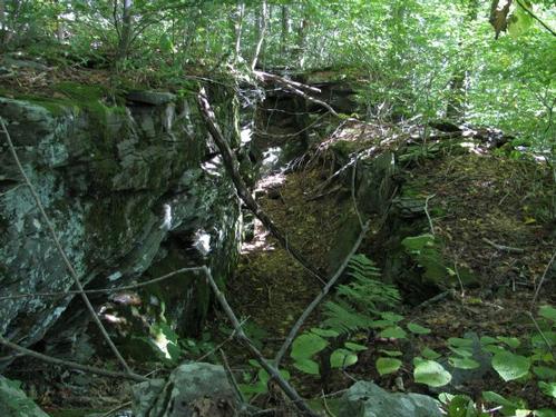
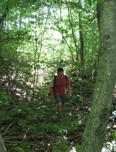
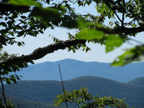
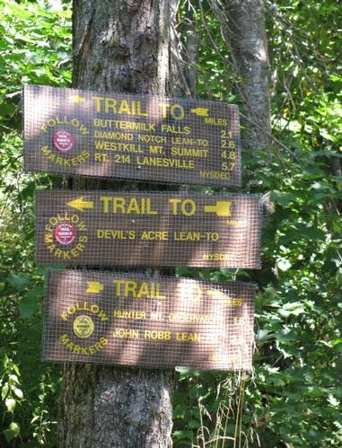
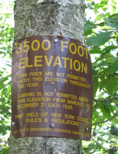
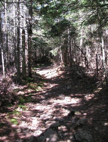
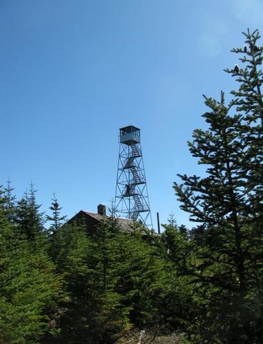
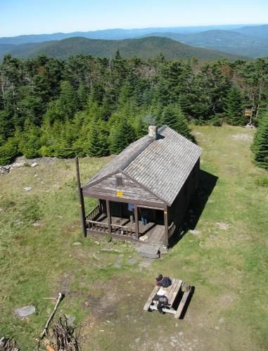
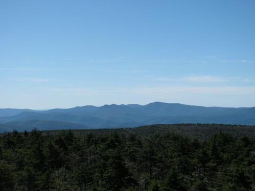
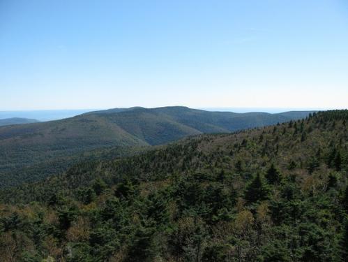
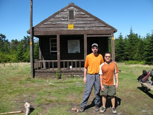
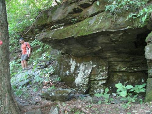
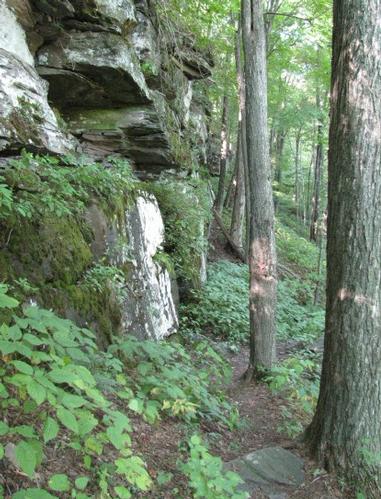
After a cold night camping out at the Woodland Valley Campground in Phoenicia (it got down to the mid-30's overnight), I broke camp and drove up to Hunter to meet Michael at the Plateau Mountain parking area on Rt. 214 at the Devil's Tombstone Campground. Like the day before the trailheads are not well-marked. I happened to run into the assistant caretaker in the parking lot and she confirmed that this was the spot. This time I was much more familiar with how the trails were marked. There was no trail sign in the parking lot, but there were red “New York State Department of Environmental Conservation” tags, which marked the Devil's Path. Michael went to pay for parking and shortly before 9:30AM we headed out. Next to the parking lot is Notch Lake, which was more of a thick algae covered pond. This is damed up and the trail starts out into the woods after crossing a bridge at the southern end of the lake. The trail was fairly well-marked, but somewhere along the way, we found ourselves on a very distinctive trail, but without trail markers. Eventually, this trail just ended, but we periodically found evidence of hikers having used the path. It turned out to be a minor bushwhack through mostly open woods, climbing up some very steep ledges (as noted in the trail description, that I had). After awhile we figured we were really off the trail, but proceeded up the mountain, knowing we'd eventually hit the trail again at the ridge...if not before. After about an hour, we did indeed run back into the trail just before its junction with the Hunter Mountain Trail. We turned onto this trail and proceeded to the summit, which was still 1.7 miles along this trail. This trail was mostly flat along the ridge though. We got to the summit around noon. The summit is broad and open and is dominated by a tall firetower and cabin. Climbing up the tower we found a volunteer, who was manning the summit and who had opened the cab of the firetower. From the top of this there were sweeping 360 degree views across the Catskills. Back on the ground we were talking with the volunteer. We noted our bushwhack and he admitted that the trail had not been properly maintained since the prior year when the maintainer had quit. He said others either had gotten off the trail or had purposely bushwhacked portions of the route in order to shorten the distance up to the summit. Anyway, we enjoyed lunch on the summit chatting with others who had hiked up or had taken the chairlifts to the summit. At a little after 1:30PM we decided to head back. The trail turned out to be very easy to follow and it was not steep at all (contrary to the trail descriptions that I had). The Devil's Path trail now seemed to use a series of switchbacks to descend. On the way back down we found where we thought we had gone off trail and it appeared that the trail had been moved to make it less steep. Anyway, we returned to our cars at about 3PM. Afterward we drove down to Phoenicia to have a snack before heading home (also, Michael wanted to see Phoenicia, since it has been used as a setting in a number of independent films). We chose to go to Brio's Pizzeria & Restaurant for a light snack (where Rich and I had gone for dinner the night before) to cap off an excellent day hike. A very special thanks to Michael for joining me on this hike and the partial adventure, which resulted! It was great to meet and get to know you throughout the day! It was another great day spent in the Catskills and more proof about how good we have it with how well our trails and trailheads are marked in New Hampshire.
Event photos (17)
Reactions
Log in to react to this trip report.
About this event
Join me for this 7.7-mile hike up to the summit of Hunter Mountain (4040') via the Devil's Path. Hunter Mountain is the second highest peak in the Catskills. Hunter's summit is a large clearing dominated by the fire tower and observer's cabin. The tower can be climbed although the cab at the top may be locked. This affords sweeping views into the surrounding area. The trail climbs steeply in spots and the elevation gain is approximately 2000'.
Trailhead: We'll meet at the trailhead parking lot off Highway 214 in Stony Clove. This is the Plateau Mtn. Parking (fee may be charged) at the Devil's Tombstone Campground.
The trailhead parking area should be approximately 10 miles north on Rt. 214 from the junction with Rt. 28. Alternatively, it is on Rt. 214 just south of Hunter from the Rt. 23A junction.
What to Bring: Typical summer hiking gear should be appropriate: shorts or convertible hiking pants, good sturdy hiking boots with thick socks and a windbreaker/raingear (just in case). Also bring along lunch, snacks and plenty of water. Optionally, pack bug repellent and sunscreen and anything else that you may require.
Afterwards: We should be completed with the hike by 3 or 4PM. If there is sufficient interest, we'll cap the day off with dinner/drinks in the area afterwards.
NOTE: Contact me, if you're interested in camping on Friday and/or Saturday, as I will be. I will be happy to try and coordinate. This may be handy if you're planning on doing both the Burroughs Range and Hunter Hikes.
Who came along (1)
 GUEST MEMBER
Comments
No comments yet.
Log in to join the conversation.