
Burroughs Range Hike
A nice day hike to Slide Mountain, despite some confusing trail markings!
The trip report
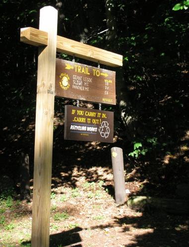
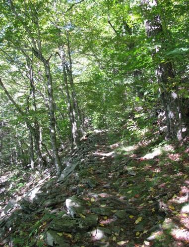
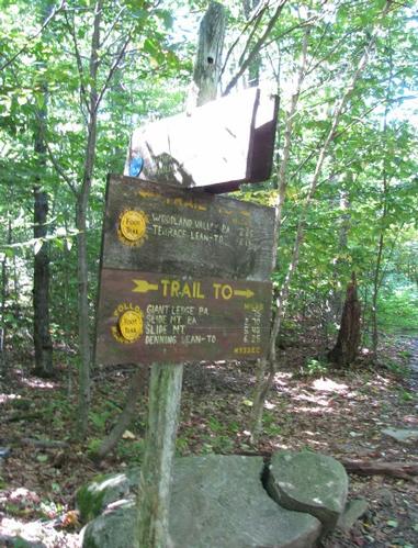
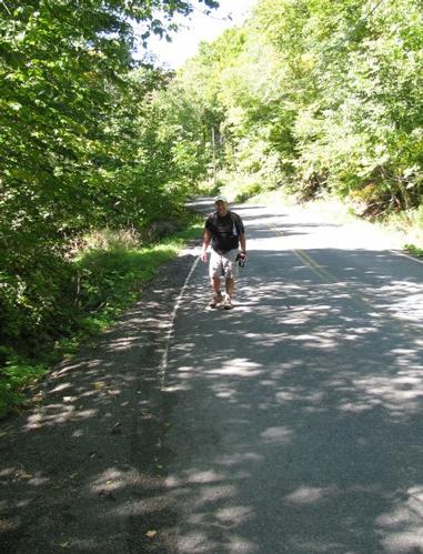
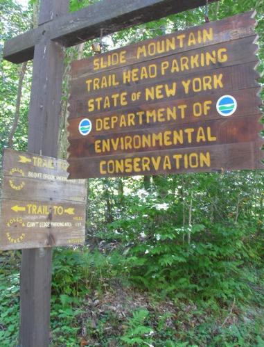
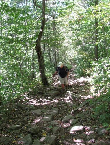
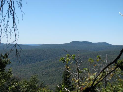
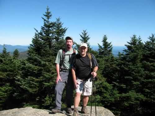
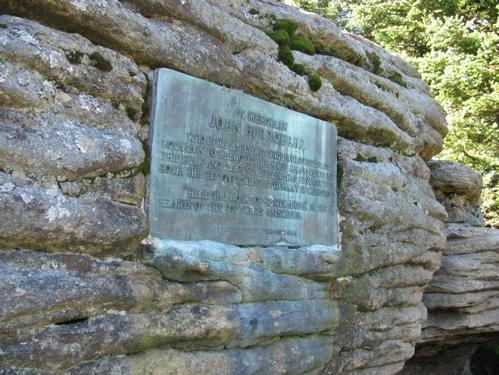
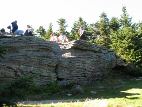
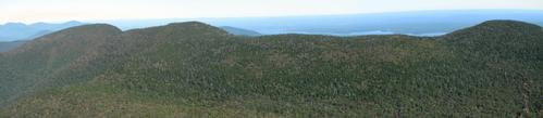
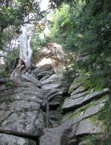
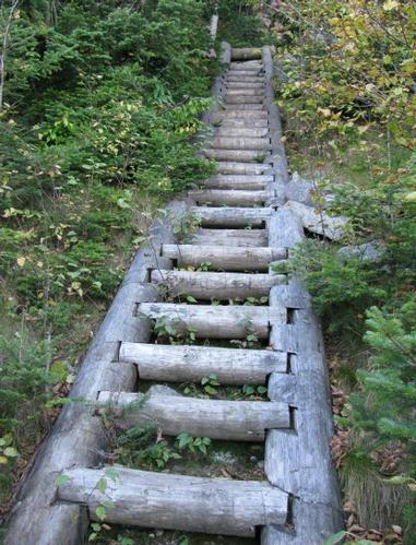
On Saturday, September 19th, Rich and I met up at 9AM at the Slide Mountain trailhead parking off of Rt. 47 in Oliverea, NY. We left one car and drove back around to the Woodland Valley Campground, where the trailhead across the Burroughs Range starts. After getting organized we headed out at a little before 10AM. The trail was marked with the Slide Mountain as the destination, but no trail name listed on the trailhead sign. The trail itself was marked with little plastic discs nailed to trees. They were marked as “New York State Department of Environmental Conservation” and were yellow in color. It didn't immediately occur to me that these were the blazes...and we were supposed to be on the red-blazed trail. Anyway, it wasn't until we were half way across this trail, which runs north of the Burroughs Range, that we discovered that it was the wrong trail. Since it terminated back over at the trailhead for Slide Mountain (where we had parked one car), we continued on and just decided to hike Slide...and if we felt energetic we would cross the Burroughs Range back to the Woodland Valley Campground (where we started hiking). Anyway, the Phoenicia-East Branch Trail was approximately 3.6 miles and ended up on Rt. 47 about 0.5 mile from the Slide Mtn. Parking. It was about 1PM, when we got to the trailhead for Slide and we headed up. Here the trail was still marked with yellow trail tags, even though I thought it was supposed to be the red-marked Burroughs Range Trail...it turns out that this trail doesn't officially begin for another 0.8-miles down the Phoenicia-East Branch Trail (yes, this is still apparently the same trail that we began on, but still not marked by name). We got to the junction with the Burroughs Range Trail and continued up to the summit (alas...red-plastic tags on the trees!). The trail up to the summit was an old jeep road and was pretty much a straight shot up the mountain with little deviation until just below the summit, where there was a little switchbacking in the trail. There were a couple of views from the trail on the way up, but most of it was obscured by trees. After about 2 miles we reached the nondescript summit, where a firetower had once stood. Just beyond the summit there was a nice ledge with some limited views, which looked out over the Burroughs Range. Here we had a late lunch, while chatting with some of the other hikers here. After lunch Rich wasn't feeling particularly well, so while he took a nap, I climbed down the steep ledges into the col between Slide and Cornell Mountains. There were some very nice views from here and well worth the extra effort, since we didn't do the hike across the range. Anyway, I returned back up to the summit and Rich and I began our descent back to the trailhead. We were back down by 5PM and had still completed 9.7 miles, which was the distance of the original hike. We also managed to hit Slide Mountain, which was really the goal, since it is the highest point in the Catskills.
After the hike we drove back to the Woodland Valley Campground, where we had started and where I had secured a campground earlier in the day. While I set up my tent, Rich went and took a shower and then we drove into Phoenicia to have dinner at Brio's Pizzeria & Restaurant. Phoenicia is a quaint little town with a Main Street of about 2-3 blocks.
Despite the deviation from the plan this was a good day hike in the Catskills...and it was a perfect day weatherwise. I also was never so appreciative of how well-marked our trail system is in New Hampshire! It was definitely a learning experience. Thanks to Rich for coming over to NY to do this with me! It was great to just hang out and chat during a mostly leisurely hike.
Event photos (14)
Reactions
Log in to react to this trip report.
About this event
Join me for this 9.75-mile traverse across the Burroughs Range in the Catskills. Along the way we'll summit Wittenberg, Cornell and Slide Mountains (3790'/3870'/4180'). Slide Mountain is the highest point in the Catskill Mountains. The trail offers views along the way into the Slide Mountain Wilderness and the rest of the Catskills. There are a couple of steep scramples up rock ledges and the elevation gain is 3620'.
Trailhead: We'll meet at Slide Mtn parking lot off of County Rt 47. We'll leave a couple of cars and then carpool back to the Woodland Valley Campground, where there is trailhead parking for the Wittenberg-Cornell-Slide Trail (there may be parking fees).
At the junction of Rt. 28 and County Rt. 47 turn south on Rt. 47 (This is also known as Oliverea Road). Take this for approximately 8-9 miles. The trailhead parking lot should be designated for Slide Mountain. The trails from here are the Phoenicia-East Branch and Wittenberg-Cornell-Slide Trail (Burroughs Range Trail). It is in the vicinity of Esopus Pond.
What to Bring: Typical summer hiking gear should be appropriate: shorts or convertible hiking pants, good sturdy hiking boots with thick socks and a windbreaker/raingear (just in case). Also bring along lunch, snacks and plenty of water. Optionally, pack bug repellent and sunscreen and anything else that you may require.
Afterwards: We should be completed with the hike by 5 or 6PM. If there is sufficient interest, we'll cap the day off with dinner/drinks in the area afterwards.
NOTE: Contact me, if you're interested in camping on Friday and/or Saturday, as I will be. I will be happy to try and coordinate. This may be handy if you're planning on doing both the Burroughs Range and Hunter Hikes.
Who came along (2)
 GUEST MEMBER
  GUEST MEMBER
Comments
No comments yet.
Log in to join the conversation.