
Hike the Hancocks
Cool late-summer weather and clear skies made for a fantastic hike.
The trip report
Meeting Up
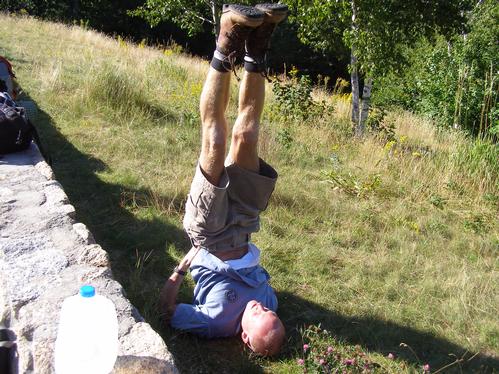
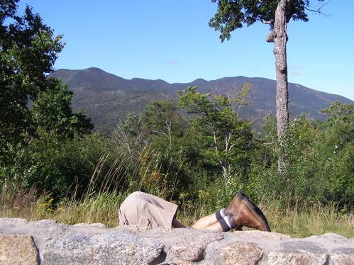
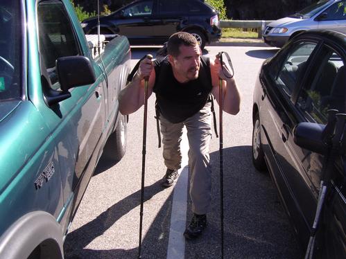
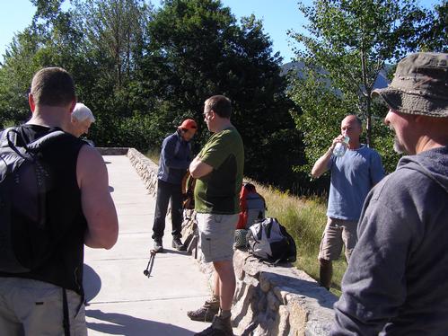
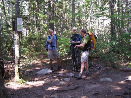
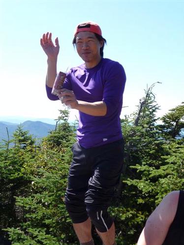
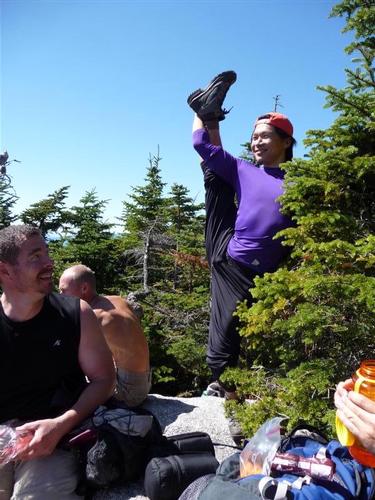
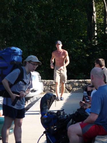
The day was very sunny and in the 60s, perfect for hiking. We began meeting together and gearing up at the Hancock Overlook parking area just before 9:30. As we waited for two more to join the group we occupied our time by stretching and browsing maps to identify peaks seen at the overlook. Markus spent his time performing some very elaborate stretches and exercises which must have placed him first for the most prepared to begin a nine mile hike. By 10:00 we were all together and ready to go.
The Hike
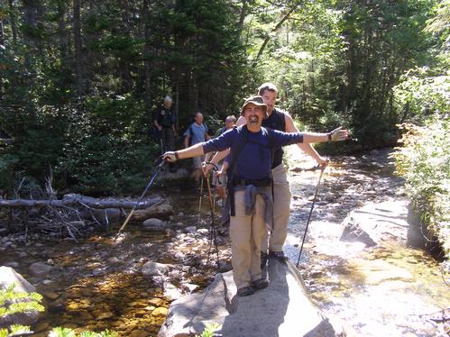
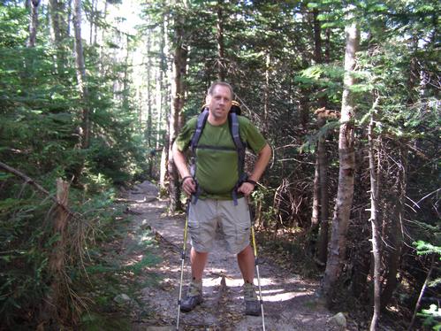
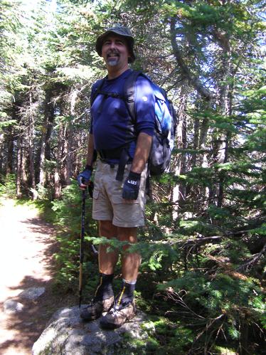
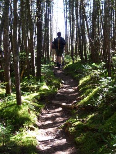
We started out on the Hancock Notch Trail which was quite easy going, including the one brook crossing. Than we turned onto Cedar Brook Trail where we came up to many brook crossings. With the recent dry weather every crossing was very easy to negotiate. We kept together along these two trails, maintained a steady pace, and took a few water and snack stops along the way.
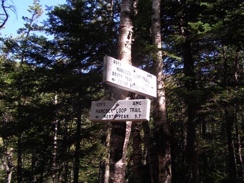
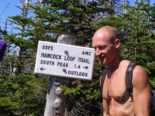
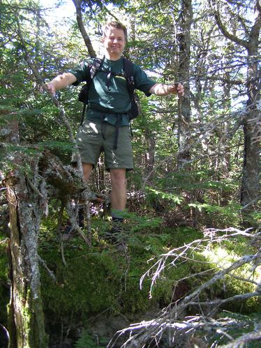
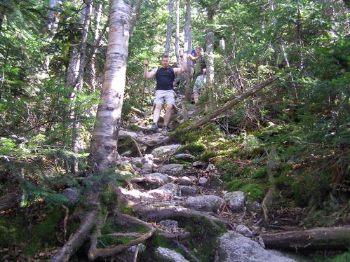
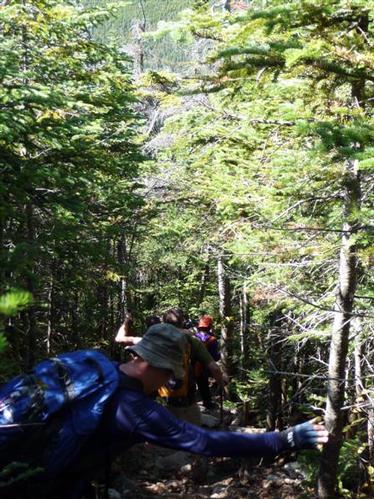
Once we turned onto the Hancock Loop Trail we crossed one more stream and began to hike at a moderate incline across a somewhat damp and rocky trail until we arrived at the loop junction. We turned left to hike the loop clockwise than descended several hundred feet to a curiously dry riverbed. At this point the trail began the major ascent. The remainder of the ascent to the north peak was steep, steady, and very rocky though quite protected within the trees. Our group began to separate along this portion of the hike, but eventually we regrouped together by the overlook trail junction at the summit of (North) Hancock.
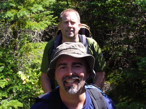
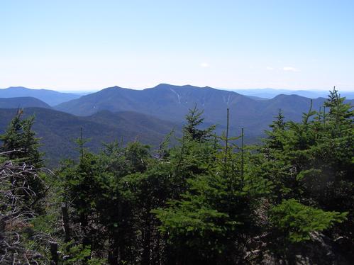
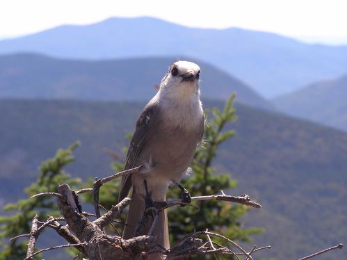
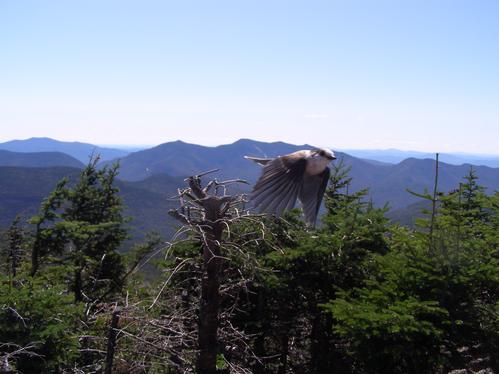
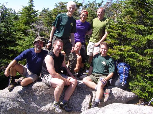
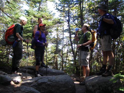
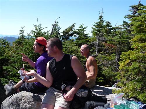
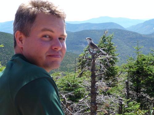
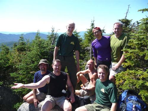
It was 12:30 so we decided to eat lunch. After a short wait on the trail, because of limited room and many other hikers, we were able to secure a lunch spot at the overlook. It was an outstanding view to the south and southwest with very little haze. We also had the company of a Canada Gray Jay bird which showed no fear of the many hikers. After some group photo opportunities and a rest we decided to continue hiking.
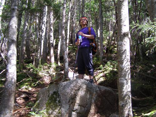
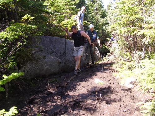
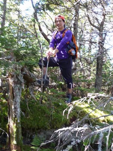
As we traversed the Hancocks Alex pointed out a mossy rock which many in the hiking community consider to be the actual peak of Hancock. Some of us could not resist but to climb up onto it so we can be as official as possible in declaring a summit. The remainder of the traverse was very pleasant with thick scrubby wooded slopes to either side of us. We did come to several slightly muddy spots between the two summits. Soon we reached the South Hancock summit. We hung around for a little while and checked out a side trail which led to a tight limited view of some mountains. Some of the guys cleaned the summit area up by collecting beer cans, wrappers, and orange peals left by previous visitors.
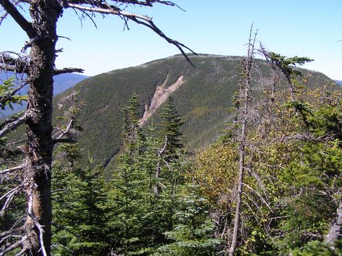
We began the descent which was steep and rocky, though not as rough as the ascent. There were many opportunities to view (North) Hancock and several slides on its western slope. We connected back to the trails we came in on and backtracked to the start. Along the return some guys had bursts of energy quickly leaping forward from rock to rock applying an artistic aspect to hiking. Our group did separate on the return only to fully meet up once again at the parking lot.
After the Hike
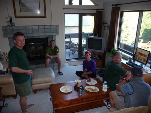
After our hike we were all invited to visit Jim (pboroman), another GO member who lives in Lincoln, for snacks and conversation. We all went. At Jim’s condo Alex was able to contact Carlos (JPHiker), who hosted the Mt. Moosilauke Hike the same day, and arrange for us to meet at The Common Man Restaurant in Lincoln for a dinner. Most of us attended the dinner, socialized, then headed home for the night.
Special Recognitions
-Congratulations to Rich for reaching the halfway point of his 48 4K list on this hike. He bagged peak numbers 24 and 25, a great milestone.
-Thank you to the GO members who practiced fine forest stewardship by cleaning litter on the trail. The mountains were left better than when we arrived.
-Jim is owed special thanks for showing his hospitality at his home after our hike. He hosted a social for two different GO trips to meet together.
Trail Notes
-Do not rely on water sources once you get to the loop junction for the north and south peak trails. Some trail descriptions note the last water source is at a brook which dissipates into the ground on the North Loop Trail. It was dry.
-Hiking the loop clockwise was a good choice with the loose rock found on the trail to the north peak.
-Do not expect many views on this hike, though the two mountains offer much beauty themselves.
-There are no hazardous parts of the trails exposing you to the large slides seen in the photos. The loop trail is always within the thick scrub which covers both mountains prominently.
Brian’s Personal Note
Thank you all for coming along. It was really fun to meet you all the day before at the GO 10th anniversary picnic. I had a great time!
Event photos (33)
Reactions
Log in to react to this trip report.
About this event
Come along and climb Mount Hancock and South Hancock with me. These are two 4K mountains nestled along the Kancamagus Highway in the Pemigewasset Wilderness of the White Mountains.
Difficulty Level: Moderate to Strenuous with a Very Strenuous portion. Please read the trail description carefully before joining this event.
The Mountains: Mount Hancock (4420 feet) and South Hancock (4319 feet) are two peaks on the New Hampshire 48 4K list. Several relatively easy trails lead to a strenuous loop trial which connects the two peaks. Though these mountains do not have exposed summits some fine views may be seen in limited directions on either peak.
Total trip distance: 9.8 miles
Total elevation gain: 2650 feet
Estimated trip time (dependent on group dynamics): 6.5-8.5 hours
Hiking Rate: Moderate
Trail Route and Description: The trip will begin at the Hancock Notch Trail trailhead at the Hancock Overlook off of the Kancamagus Highway. We will follow the Hancock Notch Trail than the Cedar Brook Trail for 2.5 miles. These trails will be relatively easy with a 600 foot elevation gain. There will be five brook crossings along the Cedar Brook Trail which may require wading through shallow water in wet conditions. Next, we will turn onto the Hancock Loop trail. This trail will be 4.8 miles long with an elevation gain of 2050 feet. We will follow the loop clockwise to the North peak first. The trail will be gradual at first than will become very steep and rough for the remainder of the accent. Expect an arduous, strenuous and steep incline with loose rock. The traverse between Hancock and South Hancock will generally be broad and bumpy with minor ups and downs. Our decent down South Hancock will be continuously steep with less loose rock than the accent. After the loop trail we will backtrack the 2.5 miles along the Cedar Brook Trail and Hancock Notch Trail. A profile of the entire hike (see picture below) depicts what to expect on the climb. We will be hiking from right to left relative to the graph. The distance may be converted as 1 mile = 1.6 kilometers.
Lunch: Plan for a lunch break on the north peak of Hancock or along the assent if hunger sets in earlier. Please bring high energy foods to snack on along the way. Take plenty of water.
Equipment: Sturdy hiking shoes and thick socks is a must. Avoid cotton clothing and denim. Prepare for possible cold temperatures and cold rain as the fall time is approaching. Some things every hiker should always have: First Aid kit, whistle, reliable fire source, compass. Bring plenty of water. Optional equipment: camera, water filter, GPS, alternate communications (cell phones do not work in this area).
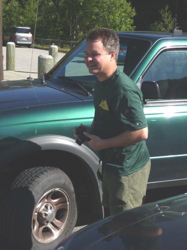
Trailhead Directions: From the west: Take exit 32 off I93 onto Route 112 east (Kancamagus Highway) in Lincoln. Follow R112 for about 11 miles to the Hancock Overlook area just after the hairpin turn. From the east: Following Route 16 (Spalding Turnpike) turn onto Route 112 west (Kancamagus Highway) in Conway. Follow R112 for about 23.5 miles to the Hancock Overlook area just before the hairpin turn. We will meet at the Hancock Overlook Pavilion. If the parking area is full alternate parking may be found either at the Greeley Ponds parking area 3/4 miles west on R112 or along the side of the highway (at your own risk) between the two parking areas. If you roadside park pull completely off the pavement and watch out for the ditches. Roadside and parking lot parking will require a parking pass which may be purchased at the self service stations in the lots ($3 day). I will be driving a green Ford Ranger with several antennas on it.


Comments
No comments yet.
Log in to join the conversation.