Number 9 Mtn - plus a waterfall
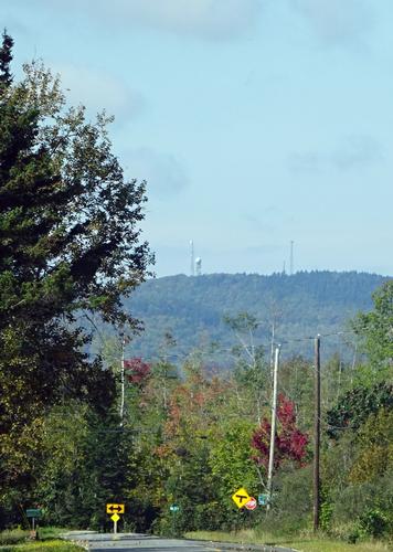
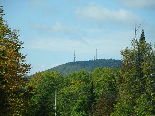
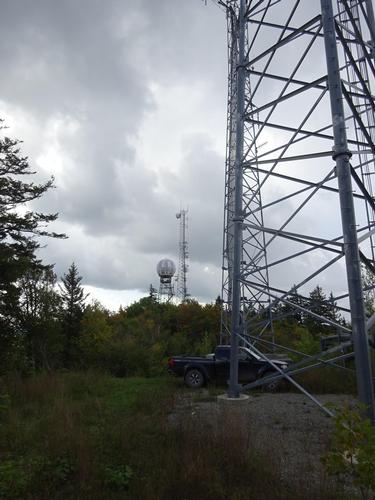
Drive up Number 9 Mtn to the old GAP filler radar / fire tower
The trip report
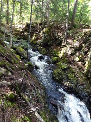
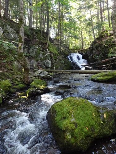
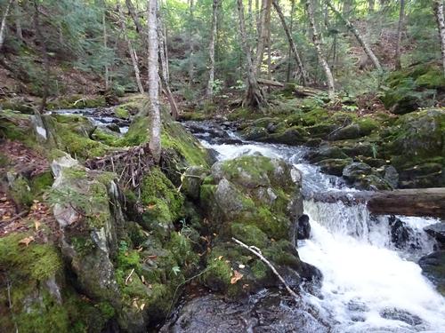
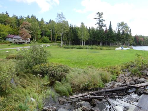
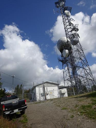
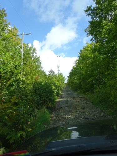
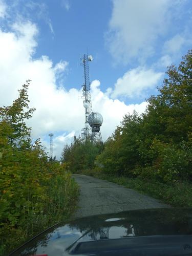
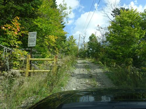
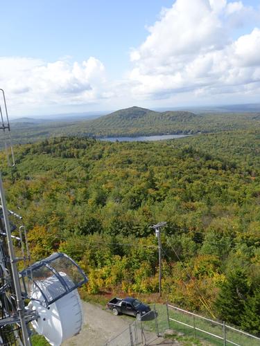
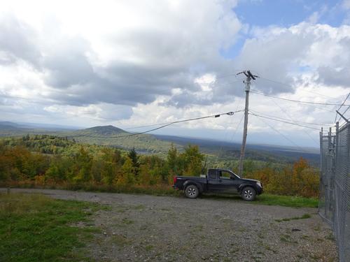
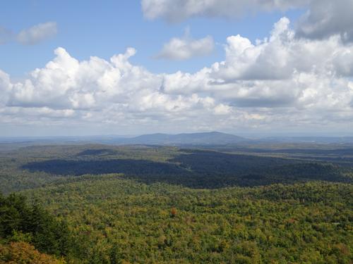
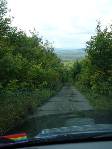
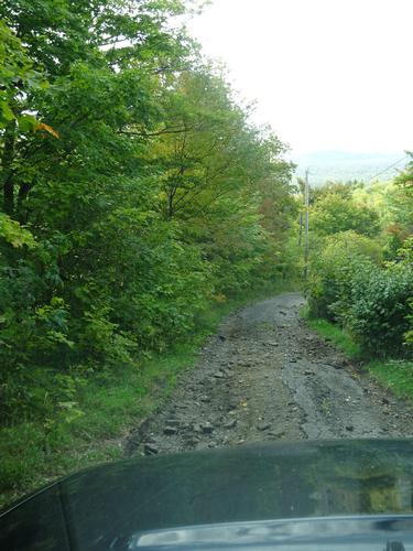
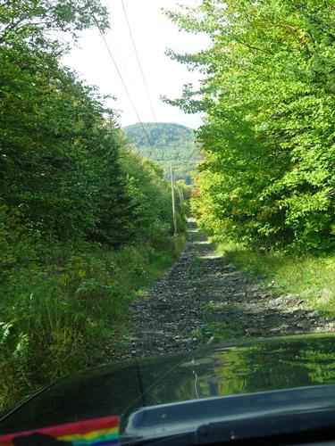
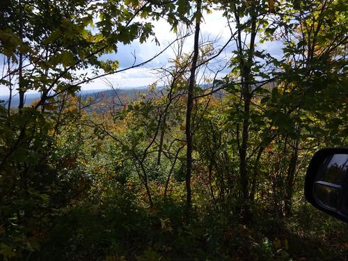
No hiking on this trip, as I can drive up Number 9 Mtn. The elevation is 1,638 ft. I did stop at a waterfall along the way, but that was a very short walk from the road.
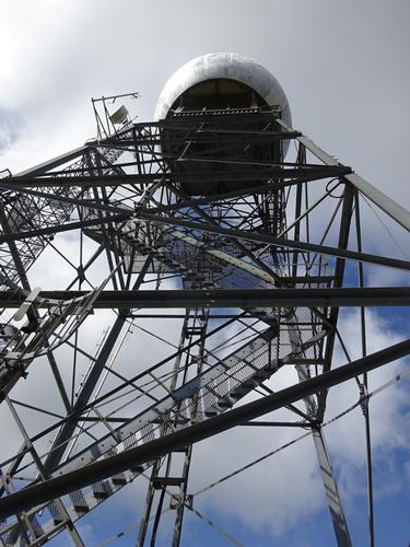
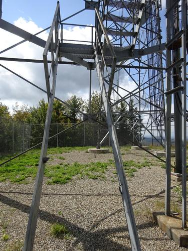
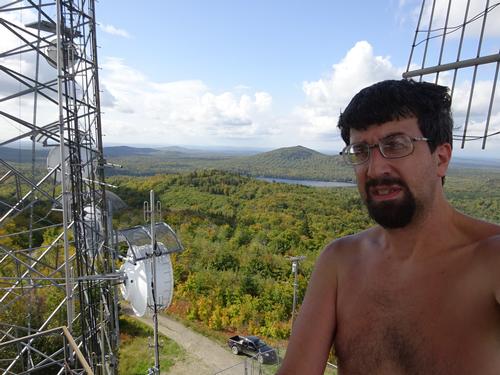
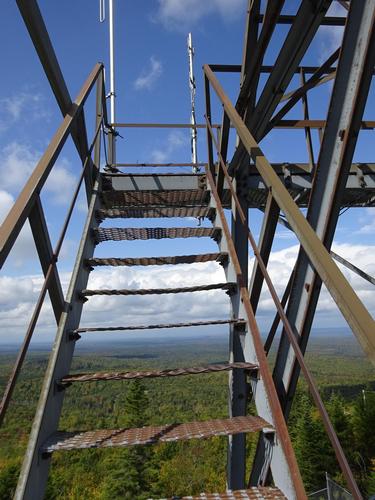
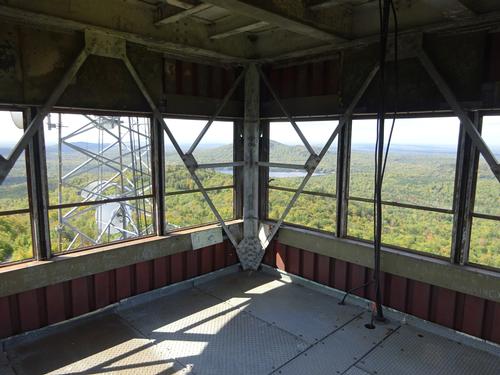
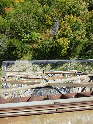
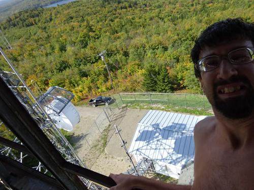
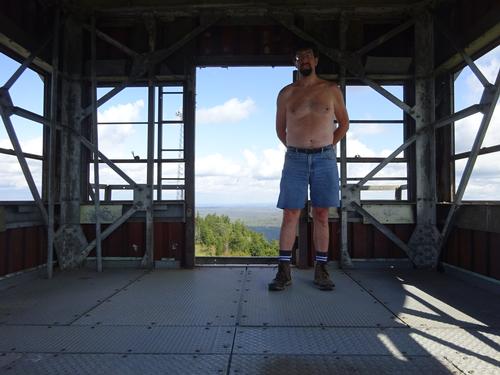
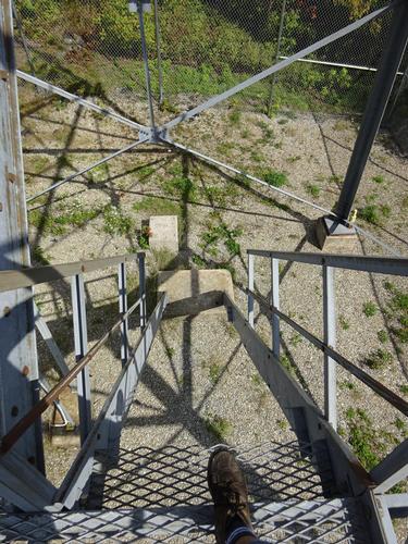
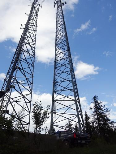
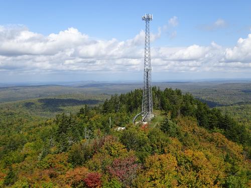
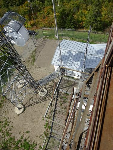
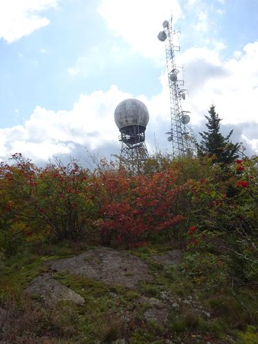
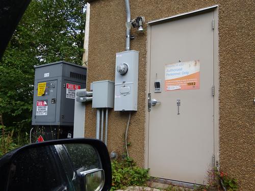
The tower on Number 9 Mtn is kind of unique. It was a combination GAP filler radar site and fire tower. It was used as a radar site for the military back in the late 50's to mid 60's. I think by the late 60's that type of radar became obsolete. Later, the Maine State Police and others used the tower as radio repeater site.
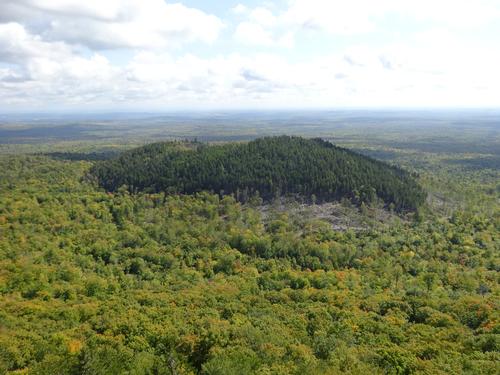
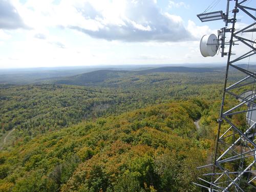
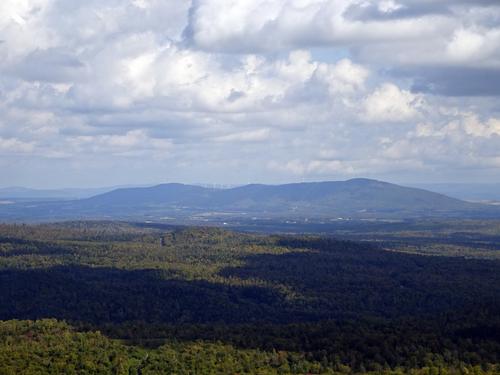
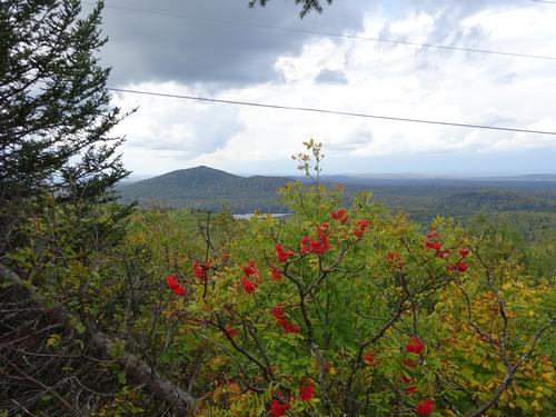
On a clear day there is a nice view of Katahdin, but that wasn't meant to be today. :( I could see it, but pointless to try to take a picture.
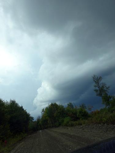
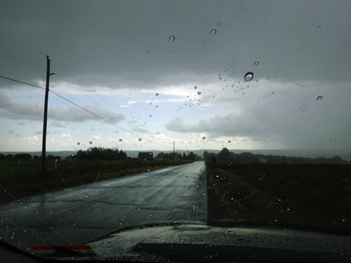
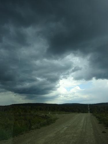
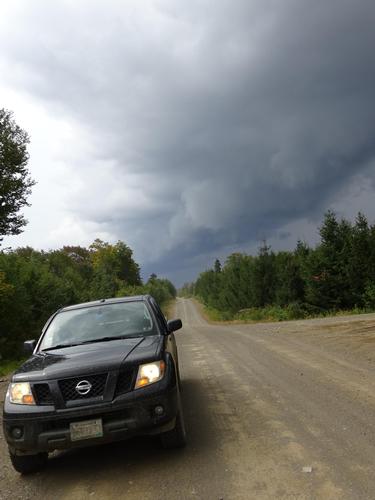
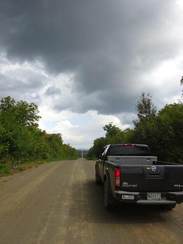
I had planned on going to another waterfall after going to Number 9 Mtn, but with threatening clouds, I decided not to. I probably made a good call as it down poured at about the time I wanted to go there.
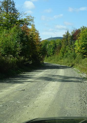
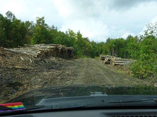
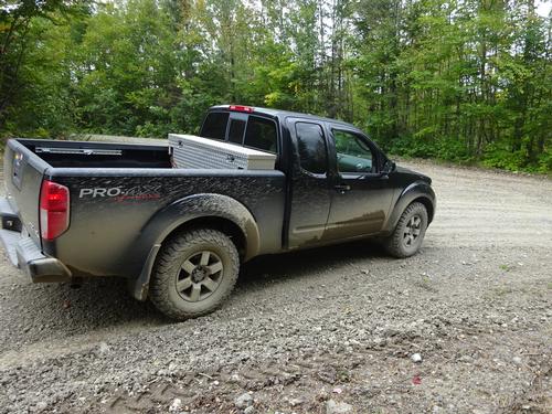
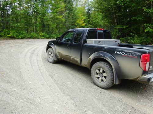
This trip was shorter than some of my trips. 94 miles total, with 27 miles on woods roads.
Event photos (60)