
Give me LIBERTY or Give me… (new date)
Mount Liberty Hike
Details
NEW DATE DUE TO WEATHER FORECAST.....
Day Hike to Mount Liberty. Ok – maybe Patrick Henry’s quote is a bit of an extreme for a hike…
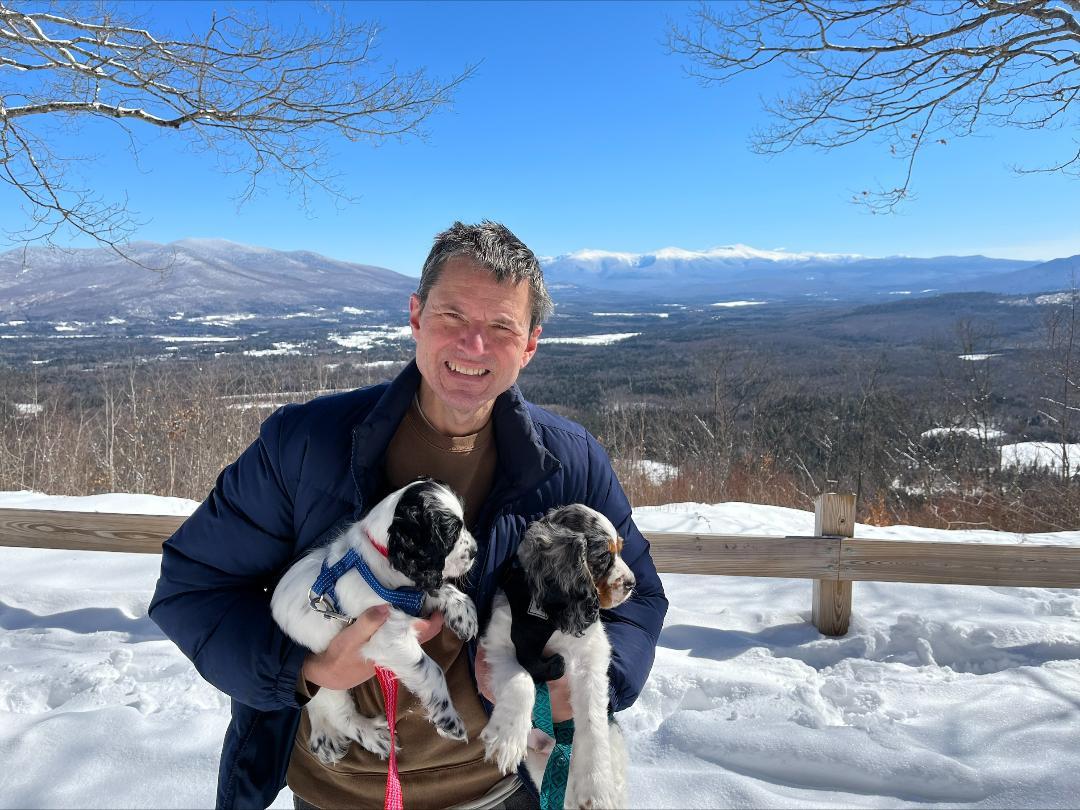
Mount Liberty is located in Franconia Notch and is part of the Franconia Ridge. It is one of 4 mountains in the Franconia Range that is a 4,000 footer (3rd highest). Mount Liberty is 4,459 feet tall, and is bordered to the south by Mount Flume, and to the North by Mount Lafayette. Mount Liberty is an easier hike than Mount Flume, yet the views are better. Liberty features incredible 360 degree views – “… one of NH’s best summits…”
Starting at the Whitehorse trail parking lot we walk/hike the Whitehouse Trail for about 0.9 miles. Then at the junction we turn onto the Liberty Spring Trail (part of the AT). After 0.6 miles we fork to the left to the Franconia Ridge Trail – then take a right to the summit of Liberty.
Distance: 8.2 miles
Elevation Gain: 3,250 ft
Hike Time: 6.5 hours (with breaks & lunch)
Route Type: Out & back
Directions
Liberty Springs trailhead is accessible by the Whitehorse trailhead parking lot off route 93 northbound. Get off at exit 33 head north on US 3 shortly after the the Flume Visitors Center. You will see a "Trailhead Parking" sign on the right.
Enter your departure destination in the link below:
About this event
NEW DATE DUE TO WEATHER FORECAST.....
Day Hike to Mount Liberty. Ok – maybe Patrick Henry’s quote is a bit of an extreme for a hike…
Mount Liberty is located in Franconia Notch and is part of the Franconia Ridge. It is one of 4 mountains in the Franconia Range that is a 4,000 footer (3rd highest). Mount Liberty is 4,459 feet tall, and is bordered to the south by Mount Flume, and to the North by Mount Lafayette. Mount Liberty is an easier hike than Mount Flume, yet the views are better. Liberty features incredible 360 degree views – “… one of NH’s best summits…”
Starting at the Whitehorse trail parking lot we walk/hike the Whitehouse Trail for about 0.9 miles. Then at the junction we turn onto the Liberty Spring Trail (part of the AT). After 0.6 miles we fork to the left to the Franconia Ridge Trail – then take a right to the summit of Liberty.
Distance: 8.2 miles
Elevation Gain: 3,250 ft
Hike Time: 6.5 hours (with breaks & lunch)
Route Type: Out & back
Directions to the trailhead
Get directionsLiberty Springs trailhead is accessible by the Whitehorse trailhead parking lot off route 93 northbound. Get off at exit 33 head north on US 3 shortly after the the Flume Visitors Center. You will see a "Trailhead Parking" sign on the right.
Enter your departure destination in the link below:
Who's going (4)


Questions about this event?
Reach out to the host, MO, for route details, carpooling, or what to bring.
Email the hostYou can also ask in the event discussion below.
Event discussion
No comments yet.
Log in to join the conversation.