
Southern Virginia Appalachian Trail Hike
10.7 Mile one-way hike on the AT.
Southern Virginia Appalachian Trail Hike
10.7 Mile one-way hike on the AT.
Details
This 10.7 mile hike will be north to south and one-way which requires an auto shuttle. The hike will begin where the AT crosses Highway Va 601, Beech Mountain Road, and will end at Tayors Valley side trail on Taylor Valley Road..
The elevation of the trail at Va 601 is 3500 feet, and at Taylors Valley 2800 feet. The hike will begin with a slight descent and be relatively flat for most of the hike. The trail will dip to 2800 feet at Whitetop Laurel Creek, and will gradually climb back to 3500 feet at Straight Mountain. From there the trail will descend to Taylors Valley side trail at 2800 feet.
The hike will be in the southern section of the Mt. Rogers National Recreational Area. We shall have two AT shelters on the hike, which will provide for rest stops, at Lost Mountain Shelter and Saunders Shelter.
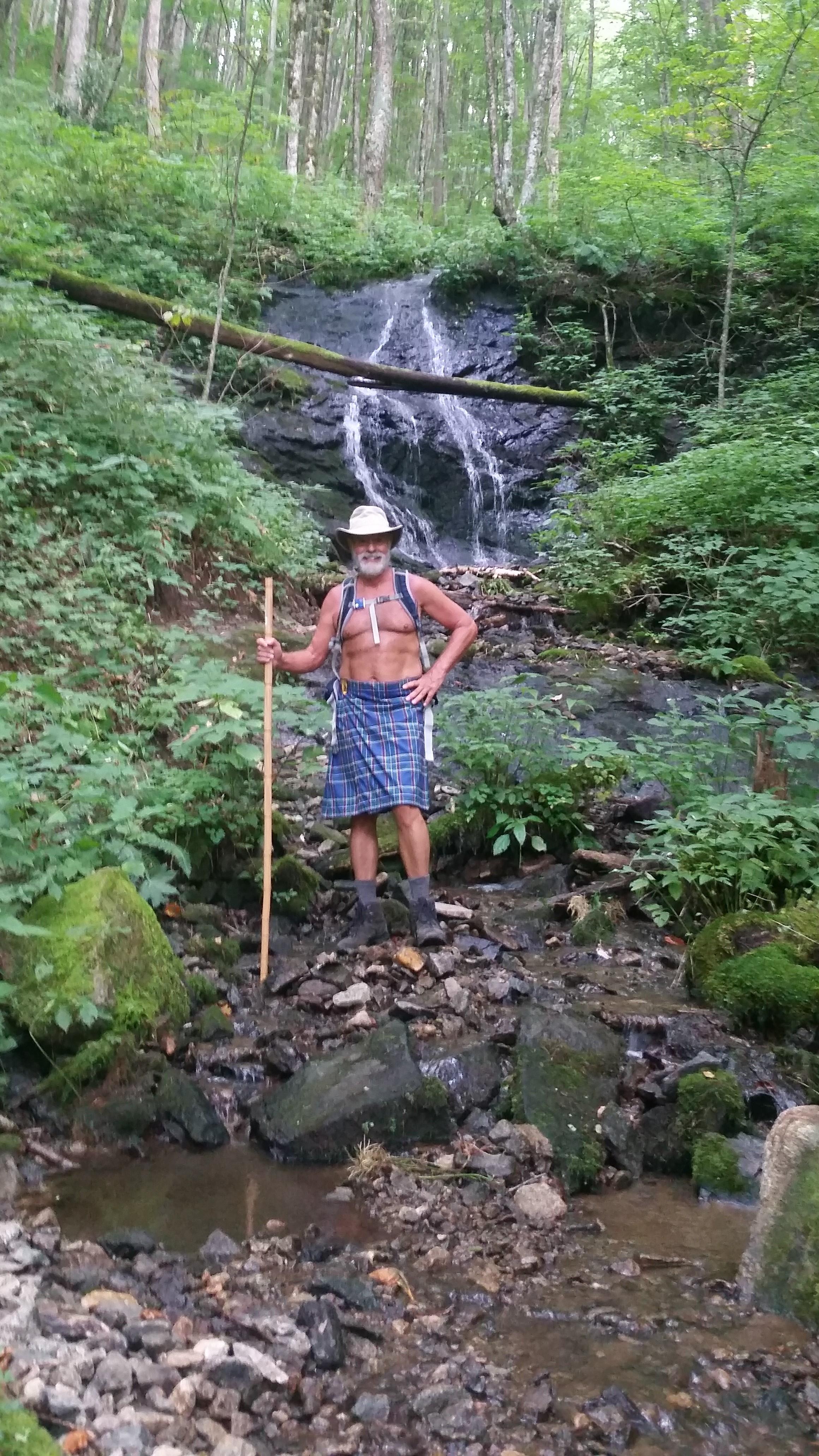
Plan to spend 6 hours on the trail for this hike. This will be a clothing optional hike as it will take place on the Summer Solstice and National Naked Hiking Day.
Directions
We shall be meeting at the Damascus Diner, in Damascus, Va. It is located at 109 Shady Avenue (zip code 24236). The telephone number for the diner is (276) 475-5454.
We will be leaving the diner of the trailheads at 9:00 AM sharp. The diner will open at 8:00 AM for those wanting to eat breakfast.
About this event
This 10.7 mile hike will be north to south and one-way which requires an auto shuttle. The hike will begin where the AT crosses Highway Va 601, Beech Mountain Road, and will end at Tayors Valley side trail on Taylor Valley Road..
The elevation of the trail at Va 601 is 3500 feet, and at Taylors Valley 2800 feet. The hike will begin with a slight descent and be relatively flat for most of the hike. The trail will dip to 2800 feet at Whitetop Laurel Creek, and will gradually climb back to 3500 feet at Straight Mountain. From there the trail will descend to Taylors Valley side trail at 2800 feet.
The hike will be in the southern section of the Mt. Rogers National Recreational Area. We shall have two AT shelters on the hike, which will provide for rest stops, at Lost Mountain Shelter and Saunders Shelter.
Plan to spend 6 hours on the trail for this hike. This will be a clothing optional hike as it will take place on the Summer Solstice and National Naked Hiking Day.
Directions to the trailhead
Get directionsWe shall be meeting at the Damascus Diner, in Damascus, Va. It is located at 109 Shady Avenue (zip code 24236). The telephone number for the diner is (276) 475-5454.
We will be leaving the diner of the trailheads at 9:00 AM sharp. The diner will open at 8:00 AM for those wanting to eat breakfast.
Who's going (2)
 GUEST MEMBER
  GUEST MEMBER
 Questions about this event?
Reach out to the host, dnaturist, for route details, carpooling, or what to bring.
Email the hostYou can also ask in the event discussion below.
Event discussion
No comments yet.
Log in to join the conversation.